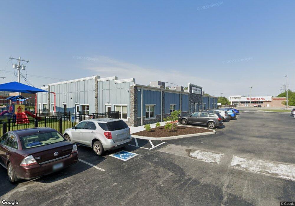
1000 N Main St Crown Point, IN 46307
--
Bed
--
Bath
12,430
Sq Ft
1.13
Acres
About This Home
This home is located at 1000 N Main St, Crown Point, IN 46307. 1000 N Main St is a home located in Lake County with nearby schools including Timothy Ball Elementary School, Robert Taft Middle School, and Crown Point High School.
Ownership History
Date
Name
Owned For
Owner Type
Purchase Details
Closed on
Mar 14, 2019
Sold by
Kacp Llc
Bought by
City Of Crown Point
Purchase Details
Closed on
Jan 18, 2018
Sold by
Francis P Hoffman Revocable Trust
Bought by
Kacp Llc
Home Financials for this Owner
Home Financials are based on the most recent Mortgage that was taken out on this home.
Original Mortgage
$137,685
Interest Rate
3.94%
Mortgage Type
Commercial
Purchase Details
Closed on
Dec 13, 2006
Sold by
Hoffman Francis P
Bought by
The Francis P Hoffman Revocable Trust
Create a Home Valuation Report for This Property
The Home Valuation Report is an in-depth analysis detailing your home's value as well as a comparison with similar homes in the area
Home Values in the Area
Average Home Value in this Area
Purchase History
| Date | Buyer | Sale Price | Title Company |
|---|---|---|---|
| City Of Crown Point | -- | None Available | |
| Kacp Llc | -- | Chicago Title Insurance Co | |
| The Francis P Hoffman Revocable Trust | -- | Accommodation |
Source: Public Records
Mortgage History
| Date | Status | Borrower | Loan Amount |
|---|---|---|---|
| Previous Owner | Kacp Llc | $137,685 |
Source: Public Records
Tax History Compared to Growth
Tax History
| Year | Tax Paid | Tax Assessment Tax Assessment Total Assessment is a certain percentage of the fair market value that is determined by local assessors to be the total taxable value of land and additions on the property. | Land | Improvement |
|---|---|---|---|---|
| 2024 | $38,931 | $1,377,600 | $427,300 | $950,300 |
| 2023 | $34,801 | $1,416,500 | $427,300 | $989,200 |
| 2022 | $34,801 | $1,456,000 | $427,300 | $1,028,700 |
| 2021 | $32,571 | $1,412,700 | $427,300 | $985,400 |
| 2020 | $11,869 | $494,900 | $427,300 | $67,600 |
| 2019 | $10,789 | $438,400 | $370,800 | $67,600 |
| 2018 | $11,352 | $438,400 | $370,800 | $67,600 |
| 2017 | $11,284 | $430,400 | $370,800 | $59,600 |
| 2016 | $11,037 | $413,500 | $313,800 | $99,700 |
| 2014 | $10,392 | $418,200 | $315,400 | $102,800 |
| 2013 | $11,120 | $442,200 | $334,700 | $107,500 |
Source: Public Records
Map
Nearby Homes
- 808 N West St
- 312 Summit Park Ct S
- 206 Birch St
- 1206 Sycamore St
- 222 Maple St
- 511 N West St
- 621 Pratt St
- 306 Holton Ridge
- 221 N West St
- 221 Cedar St
- 301 Hoffman St
- 340 Cochran Dr
- 138 N Grant St
- 150 N Ridge St
- 380 N Indiana Ave
- 360 N Indiana Ave
- 1368 Lehman Dr
- 310 N Indiana Ave
- 771 Kenmare Pkwy
- 767 Kenmare Pkwy
- 117 E Summit St
- 4 E Summit St
- 111 E Summit St
- 17 E Summit St
- 7829 W 105th Ave
- 7829 W 105th Ave
- 112 E Summit St
- 839 Merrillville Rd
- 915 Merrillville Rd
- 837 Merrillville Rd
- 1005 Merrillville Rd
- 1001 Merrillville Rd
- 820 N Court St
- 831 Merrillville Rd
- 816 N Court St
- 1009 Merrillville Rd
- 824 N Court St
- 829 Merrillville Rd
- 828 N Court St
- 821 Merrillville Rd