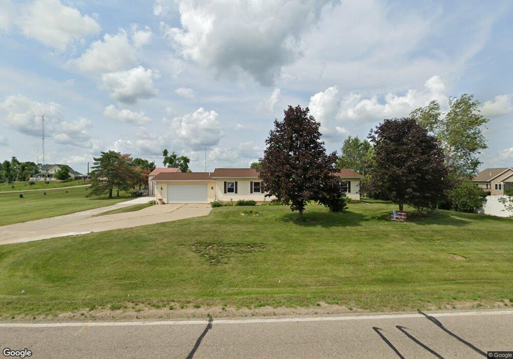
1000 W Main St Robins, IA 52328
Estimated Value: $358,000 - $408,000
3
Beds
3
Baths
1,833
Sq Ft
$206/Sq Ft
Est. Value
About This Home
This home is located at 1000 W Main St, Robins, IA 52328 and is currently estimated at $377,226, approximately $205 per square foot. 1000 W Main St is a home located in Linn County with nearby schools including Hiawatha Elementary School, Harding Middle School, and John F. Kennedy High School.
Ownership History
Date
Name
Owned For
Owner Type
Purchase Details
Closed on
Jun 11, 2009
Sold by
Cirkl Larry Martin and Cirkl Patricia Ann
Bought by
Allen Matthew Todd
Current Estimated Value
Home Financials for this Owner
Home Financials are based on the most recent Mortgage that was taken out on this home.
Original Mortgage
$190,000
Outstanding Balance
$120,433
Interest Rate
4.83%
Mortgage Type
Purchase Money Mortgage
Estimated Equity
$256,793
Create a Home Valuation Report for This Property
The Home Valuation Report is an in-depth analysis detailing your home's value as well as a comparison with similar homes in the area
Home Values in the Area
Average Home Value in this Area
Purchase History
| Date | Buyer | Sale Price | Title Company |
|---|---|---|---|
| Allen Matthew Todd | $209,500 | None Available |
Source: Public Records
Mortgage History
| Date | Status | Borrower | Loan Amount |
|---|---|---|---|
| Open | Allen Matthew Todd | $190,000 |
Source: Public Records
Tax History
| Year | Tax Paid | Tax Assessment Tax Assessment Total Assessment is a certain percentage of the fair market value that is determined by local assessors to be the total taxable value of land and additions on the property. | Land | Improvement |
|---|---|---|---|---|
| 2025 | $3,914 | $323,100 | $52,500 | $270,600 |
| 2024 | $3,270 | $300,500 | $52,500 | $248,000 |
| 2023 | $3,270 | $300,500 | $52,500 | $248,000 |
| 2022 | $3,480 | $223,400 | $52,500 | $170,900 |
| 2021 | $3,874 | $223,400 | $52,500 | $170,900 |
| 2020 | $3,874 | $230,100 | $52,500 | $177,600 |
| 2019 | $3,594 | $217,800 | $52,500 | $165,300 |
Source: Public Records
Map
Nearby Homes
- 130 Woodland Ct
- 70.78 Acres M/L Quass Rd
- 26.35 Acres M/L Quass Rd
- 1915 Kaylin Ct
- 1917 Kaylin Ct
- 1920 Kaylin Ct
- 0 70 78 Acres M L Quass Rd
- 195 Morgan Ct
- 1940 Kaylin Ct
- 1970 Kaylin Ct
- 1975 Kaylin Ct
- 0 26 35 Acres M L Quass Rd
- 0 28 72 Acres N Center Point Rd
- 0 Rd
- 39.69 Acres M/L N Center Point Rd
- 28.72 Acres M/L N Center Point Rd
- 8.98 Acres M/L N Center Point Rd
- 3230 N Center Point Rd Unit Lot 3
- 2965 Trailside Dr
- 2970 Trailside Dr
- 155 White Pine St
- 175 White Pine St
- 205 White Pine St
- 1105 W Main St
- 105 Oak Park Dr
- 235 White Pine St
- 100 Oak Park Dr
- 255 White Pine St
- 145 Oak Park Dr
- 100 Stamy Rd
- 855 White Pine Cir
- 140 Oak Park Dr
- 1110 W Main St
- 850 White Pine Cir
- 275 White Pine St
- 140 Stamy Rd
- 185 Oak Park Dr
- 845 White Pine Cir
- 885 W Main St
- 990 Oak Park Ct
Your Personal Tour Guide
Ask me questions while you tour the home.