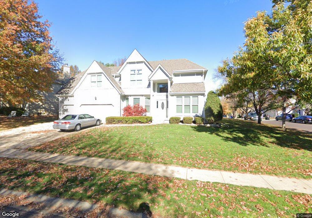
10002 W 129th St Overland Park, KS 66213
Nottingham NeighborhoodEstimated Value: $571,000 - $609,000
4
Beds
4
Baths
3,368
Sq Ft
$175/Sq Ft
Est. Value
About This Home
This home is located at 10002 W 129th St, Overland Park, KS 66213 and is currently estimated at $589,959, approximately $175 per square foot. 10002 W 129th St is a home located in Johnson County with nearby schools including Cottonwood Point Elementary School, Oxford Middle, and Blue Valley Northwest High School.
Ownership History
Date
Name
Owned For
Owner Type
Purchase Details
Closed on
Sep 14, 2001
Sold by
Kim Eliza
Bought by
Kim Kum K and Kim Hye Jeong
Current Estimated Value
Home Financials for this Owner
Home Financials are based on the most recent Mortgage that was taken out on this home.
Original Mortgage
$239,950
Interest Rate
6.88%
Mortgage Type
Stand Alone First
Create a Home Valuation Report for This Property
The Home Valuation Report is an in-depth analysis detailing your home's value as well as a comparison with similar homes in the area
Home Values in the Area
Average Home Value in this Area
Purchase History
| Date | Buyer | Sale Price | Title Company |
|---|---|---|---|
| Kim Kum K | -- | Old Republic Title Company |
Source: Public Records
Mortgage History
| Date | Status | Borrower | Loan Amount |
|---|---|---|---|
| Closed | Kim Kum K | $239,950 |
Source: Public Records
Tax History Compared to Growth
Tax History
| Year | Tax Paid | Tax Assessment Tax Assessment Total Assessment is a certain percentage of the fair market value that is determined by local assessors to be the total taxable value of land and additions on the property. | Land | Improvement |
|---|---|---|---|---|
| 2024 | $6,155 | $60,019 | $11,382 | $48,637 |
| 2023 | $6,144 | $58,938 | $11,382 | $47,556 |
| 2022 | $5,579 | $52,590 | $11,382 | $41,208 |
| 2021 | $5,579 | $48,047 | $9,899 | $38,148 |
| 2020 | $5,473 | $48,645 | $8,248 | $40,397 |
| 2019 | $5,264 | $45,804 | $6,596 | $39,208 |
| 2018 | $5,036 | $42,953 | $6,592 | $36,361 |
| 2017 | $4,982 | $41,745 | $5,735 | $36,010 |
| 2016 | $4,701 | $39,364 | $5,735 | $33,629 |
| 2015 | $4,541 | $37,869 | $5,735 | $32,134 |
| 2013 | -- | $34,362 | $5,735 | $28,627 |
Source: Public Records
Map
Nearby Homes
- 12906 Wedd St
- 12907 Connell Dr
- 12823 Connell Dr
- 10416 W 131st St
- 13416 W 178th St
- 13408 W 178th St
- 13168 Carter St
- 13211 Farley St
- 9608 W 132nd Terrace
- 9139 W 131st Place
- 10438 W 125th Terrace
- 12510 Knox St
- 12506 Knox St
- 9117 W 125th Terrace
- 13163 Kessler St
- 8957 W 125th Terrace
- 12802 Flint St
- 11210 W 132nd Terrace
- 12221 Farley St
- 12229 Carter St
- 10006 W 129th St
- 12842 Wedd St
- 9914 W 129th St
- 10001 W 129th St
- 10100 W 129th St
- 12838 Wedd St
- 12903 Mastin St
- 12843 Wedd St
- 9911 W 129th St
- 9910 W 129th St
- 12839 Wedd St
- 10104 W 129th St
- 12837 Mastin St
- 12834 Wedd St
- 12907 Mastin St
- 9907 W 129th St
- 12835 Wedd St
- 12900 Mastin St
- 9906 W 129th St
- 12833 Mastin St