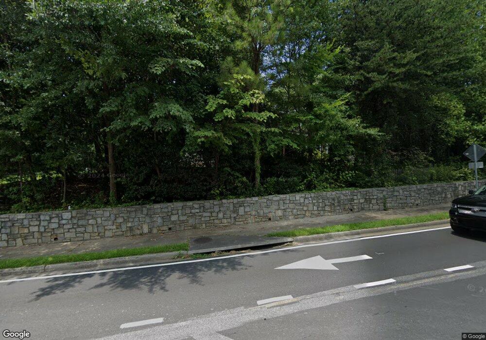
1001 Allgood Rd Marietta, GA 30062
Northwestern Marietta NeighborhoodEstimated Value: $613,000 - $795,000
3
Beds
2
Baths
3,830
Sq Ft
$181/Sq Ft
Est. Value
About This Home
This home is located at 1001 Allgood Rd, Marietta, GA 30062 and is currently estimated at $692,891, approximately $180 per square foot. 1001 Allgood Rd is a home located in Cobb County with nearby schools including Sedalia Park Elementary School, Daniell Middle School, and Sprayberry High School.
Ownership History
Date
Name
Owned For
Owner Type
Purchase Details
Closed on
May 27, 2016
Sold by
Mary Elizabeth
Bought by
Borders Stephen Darden
Current Estimated Value
Purchase Details
Closed on
May 27, 2004
Sold by
Borders Billie M
Bought by
Borders Billie M and Borders Marguerite
Create a Home Valuation Report for This Property
The Home Valuation Report is an in-depth analysis detailing your home's value as well as a comparison with similar homes in the area
Home Values in the Area
Average Home Value in this Area
Purchase History
| Date | Buyer | Sale Price | Title Company |
|---|---|---|---|
| Borders Stephen Darden | -- | -- | |
| Borders Billie M | -- | -- |
Source: Public Records
Tax History Compared to Growth
Tax History
| Year | Tax Paid | Tax Assessment Tax Assessment Total Assessment is a certain percentage of the fair market value that is determined by local assessors to be the total taxable value of land and additions on the property. | Land | Improvement |
|---|---|---|---|---|
| 2025 | $2,581 | $305,048 | $80,460 | $224,588 |
| 2024 | $2,372 | $280,368 | $72,416 | $207,952 |
| 2023 | $1,982 | $234,332 | $67,052 | $167,280 |
| 2022 | $1,418 | $167,600 | $67,052 | $100,548 |
| 2021 | $1,267 | $147,520 | $61,688 | $85,832 |
| 2020 | $1,083 | $126,064 | $40,232 | $85,832 |
| 2019 | $1,083 | $126,064 | $40,232 | $85,832 |
| 2018 | $1,003 | $116,768 | $37,548 | $79,220 |
| 2017 | $749 | $108,724 | $29,504 | $79,220 |
| 2016 | $712 | $103,360 | $24,140 | $79,220 |
| 2015 | $640 | $85,376 | $18,776 | $66,600 |
| 2014 | $662 | $85,376 | $0 | $0 |
Source: Public Records
Map
Nearby Homes
- 1056 Azalea Cir
- 1227 Herty Dr
- 1060 Lawanna Dr
- 1145 Mountain View Dr
- 1260 Herty Dr
- 1267 Herty Dr
- 149 Bankston Rd
- 755 Bonnie Dell Dr
- 697 Tom Read Dr
- 1080 Soaring Way NE
- 770 Mary Ln
- 1603 Glen Ivy
- 1391 Cameron Glen Dr Unit 1
- 706 Coventry Township Ln
- 554 Alpine Way
- 1255 Testarosa Way
- 679 Anderson Walk
- 787 Coventry Township Place
- 645 Anderson Walk
- 512 Alpine Way
- 000 Allgood Rd
- 0 Allgood Rd Unit 7596865
- 990 Overbrook Cir
- 986 Overbrook Cir Unit 1
- 1002 Allgood Rd
- 990 Allgood Rd
- 1014 Allgood Rd
- 994 Overbrook Cir
- 982 Overbrook Cir
- 980 Allgood Rd
- 1024 Allgood Rd NE
- 978 Overbrook Cir
- 1024 Allgood Rd
- 970 Allgood Rd
- 981 Allgood Rd
- 974 Overbrook Cir
- 975 Merritt Rd
- 1034 Allgood Rd
- 985 Merritt Rd
- 954 Azalea Cir
