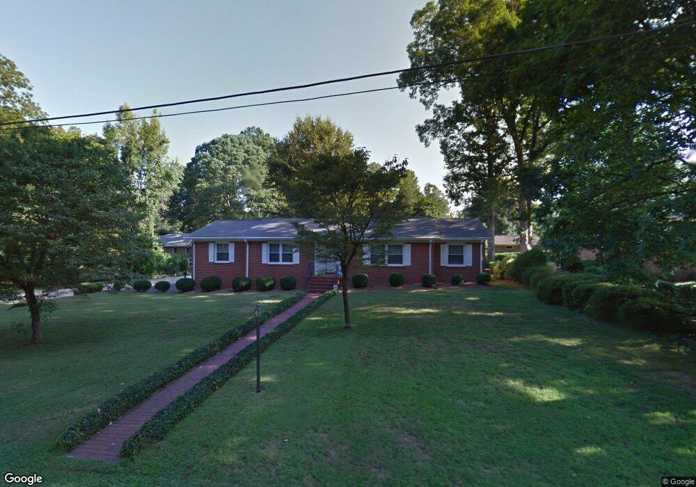
1001 Debbie St Kannapolis, NC 28083
Estimated Value: $312,000 - $335,000
3
Beds
2
Baths
1,937
Sq Ft
$168/Sq Ft
Est. Value
About This Home
This home is located at 1001 Debbie St, Kannapolis, NC 28083 and is currently estimated at $325,904, approximately $168 per square foot. 1001 Debbie St is a home located in Cabarrus County with nearby schools including Jackson Park Elementary School, Kannapolis Middle, and A.L. Brown High School.
Ownership History
Date
Name
Owned For
Owner Type
Purchase Details
Closed on
Sep 4, 2014
Sold by
Blackwelder Kenneth W
Bought by
Brown Larry L and Brown Karen B
Current Estimated Value
Home Financials for this Owner
Home Financials are based on the most recent Mortgage that was taken out on this home.
Original Mortgage
$137,000
Outstanding Balance
$105,115
Interest Rate
4.2%
Mortgage Type
VA
Estimated Equity
$220,789
Purchase Details
Closed on
Jan 1, 1997
Bought by
Blackwelder James Ray
Create a Home Valuation Report for This Property
The Home Valuation Report is an in-depth analysis detailing your home's value as well as a comparison with similar homes in the area
Home Values in the Area
Average Home Value in this Area
Purchase History
| Date | Buyer | Sale Price | Title Company |
|---|---|---|---|
| Brown Larry L | $137,000 | None Available | |
| Blackwelder James Ray | $119,000 | -- |
Source: Public Records
Mortgage History
| Date | Status | Borrower | Loan Amount |
|---|---|---|---|
| Open | Brown Larry L | $137,000 |
Source: Public Records
Tax History Compared to Growth
Tax History
| Year | Tax Paid | Tax Assessment Tax Assessment Total Assessment is a certain percentage of the fair market value that is determined by local assessors to be the total taxable value of land and additions on the property. | Land | Improvement |
|---|---|---|---|---|
| 2025 | -- | $261,860 | $62,000 | $199,860 |
| 2024 | -- | $261,860 | $62,000 | $199,860 |
| 2023 | $2,157 | $157,440 | $28,000 | $129,440 |
| 2022 | $2,157 | $157,440 | $28,000 | $129,440 |
| 2021 | $2,157 | $157,440 | $28,000 | $129,440 |
| 2020 | $2,157 | $157,440 | $28,000 | $129,440 |
| 2019 | $1,856 | $135,510 | $16,800 | $118,710 |
| 2018 | $1,829 | $135,510 | $16,800 | $118,710 |
| 2017 | $1,802 | $135,510 | $16,800 | $118,710 |
| 2016 | $1,802 | $143,710 | $30,000 | $113,710 |
| 2015 | $1,811 | $143,710 | $30,000 | $113,710 |
| 2014 | $1,811 | $143,710 | $30,000 | $113,710 |
Source: Public Records
Map
Nearby Homes
- 302 Melinda Ave
- 406 Ruth Ave
- 1102 Lane St
- 311 Jean Ave
- 604 Pearl Ave
- 1406 Shepard St
- 904 Venus St
- 502 Helen St
- 1526 Shepard St
- 606 Jackson St
- 818 Skyland St
- 132 Kennedy Ave
- 1202 Woodlawn St
- 137 Beaumont Ave
- 704 S Harding Ave
- 141 Beaumont Ave
- 1218 Martin Luther King Junior Ave
- 712 Grace Ave
- 1517 Jamaica Rd
- 704 Gem St Unit 17
- 1003 Debbie St
- 346 Saint Joseph St
- 912 Isabelle St
- 1000 Debbie St
- 1005 Debbie St
- 1002 Debbie St
- 308 Melinda Ave
- 1004 Debbie St
- 306 Melinda Ave
- 908 Isabelle St
- 1007 Debbie St
- 329 Saint Joseph St
- 400 Pearl Ave
- 100 Beth Dr
- 400 Saint Joseph St
- 403 Saint Joseph St
- 1005 Heather Dr
- 1006 Debbie St
- 402 Pearl Ave
- 0 Jacob St