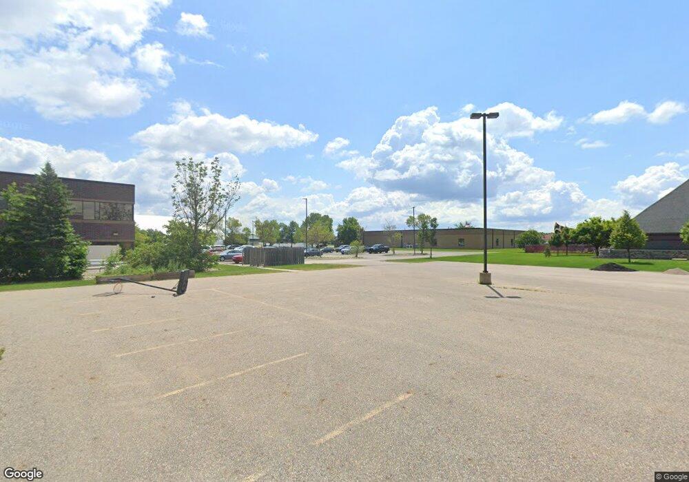
1001 Drive S Fargo, ND 58103
Jefferson-Carl NeighborhoodEstimated Value: $232,000 - $282,226
3
Beds
2
Baths
1,200
Sq Ft
$220/Sq Ft
Est. Value
About This Home
This home is located at 1001 Drive S, Fargo, ND 58103 and is currently estimated at $263,807, approximately $219 per square foot. 1001 Drive S is a home located in Cass County with nearby schools including Clara Barton Elementary School, Carl Ben Eielson Middle School, and South High School.
Ownership History
Date
Name
Owned For
Owner Type
Purchase Details
Closed on
Aug 12, 2011
Sold by
Faiman Obrien Matthew J and Faiman Obrien Kendra
Bought by
Schmidt Brianne and Marback Brandon
Current Estimated Value
Home Financials for this Owner
Home Financials are based on the most recent Mortgage that was taken out on this home.
Original Mortgage
$138,887
Outstanding Balance
$94,717
Interest Rate
4.25%
Mortgage Type
FHA
Estimated Equity
$169,090
Purchase Details
Closed on
May 2, 2005
Sold by
Erickson Kyle and Erickson Heather
Bought by
Faiman Obrien Matthew J and Faiman Obrien Kendra
Home Financials for this Owner
Home Financials are based on the most recent Mortgage that was taken out on this home.
Original Mortgage
$116,850
Interest Rate
5.25%
Mortgage Type
Adjustable Rate Mortgage/ARM
Create a Home Valuation Report for This Property
The Home Valuation Report is an in-depth analysis detailing your home's value as well as a comparison with similar homes in the area
Home Values in the Area
Average Home Value in this Area
Purchase History
| Date | Buyer | Sale Price | Title Company |
|---|---|---|---|
| Schmidt Brianne | -- | None Available | |
| Faiman Obrien Matthew J | -- | -- |
Source: Public Records
Mortgage History
| Date | Status | Borrower | Loan Amount |
|---|---|---|---|
| Open | Schmidt Brianne | $138,887 | |
| Previous Owner | Faiman Obrien Matthew J | $116,850 |
Source: Public Records
Tax History Compared to Growth
Tax History
| Year | Tax Paid | Tax Assessment Tax Assessment Total Assessment is a certain percentage of the fair market value that is determined by local assessors to be the total taxable value of land and additions on the property. | Land | Improvement |
|---|---|---|---|---|
| 2024 | $3,086 | $125,400 | $20,050 | $105,350 |
| 2023 | $3,263 | $114,000 | $20,050 | $93,950 |
| 2022 | $3,289 | $112,850 | $20,050 | $92,800 |
| 2021 | $2,911 | $100,750 | $20,050 | $80,700 |
| 2020 | $2,893 | $100,750 | $20,050 | $80,700 |
| 2019 | $2,848 | $98,450 | $11,900 | $86,550 |
| 2018 | $2,993 | $98,450 | $11,900 | $86,550 |
| 2017 | $2,730 | $88,850 | $11,900 | $76,950 |
| 2016 | $2,461 | $86,250 | $11,900 | $74,350 |
| 2015 | $2,381 | $77,200 | $8,150 | $69,050 |
| 2014 | $2,262 | $70,200 | $8,150 | $62,050 |
| 2013 | $2,257 | $70,200 | $8,150 | $62,050 |
Source: Public Records
Map
Nearby Homes
- 910 University Dr S
- 1118 8th Ave S
- 1020 9th Ave S
- 1112 University Dr S
- 1414 10th Ave S
- 1124 University Dr S
- 1418 11th Ave S
- 1208 University Dr S
- 820 10th St S Unit C20
- 1418 12th Ave S
- 1517 9th Ave S
- 601 10th St S
- 1124 5th Ave S
- 911 8th St S
- 1301 10th St S
- 1314 14th St S
- 513 10th St S
- 1419 5th Ave S
- 1121 4th Ave S
- 505 8th St S
- 1001 University Dr S
- 1005 University Dr S
- 1009 University Dr S
- 1314 10th Ave S
- 919 University Dr S
- 1015 University Dr S
- 1316 10th Ave S
- 917 University Dr S
- 1315 10th Ave S
- 1017 University Dr S
- 1002 University Dr S
- 915 University Dr S
- 1318 10th Ave S
- 1010 University Dr S
- 922 University Dr S
- 1317 10th Ave S
- 1315 11th Ave S
- 918 University Dr S
- 1021 University Dr S
- 911 University Dr S
