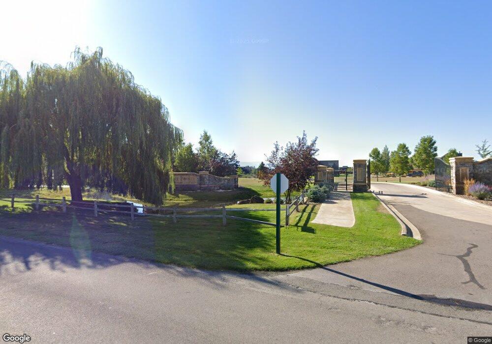
1001 Lake Point Dr Big Fork, MT 59911
Estimated Value: $212,000 - $251,000
--
Bed
--
Bath
--
Sq Ft
10,019
Sq Ft Lot
About This Home
This home is located at 1001 Lake Point Dr, Big Fork, MT 59911 and is currently estimated at $232,925. 1001 Lake Point Dr is a home located in Flathead County with nearby schools including Bigfork Elementary School, Bigfork Middle School, and Bigfork High School.
Ownership History
Date
Name
Owned For
Owner Type
Purchase Details
Closed on
Apr 15, 2021
Sold by
Redfield Paul H and Redfield Sarah L
Bought by
J Martin Inc
Current Estimated Value
Purchase Details
Closed on
Apr 5, 2021
Sold by
Redfield Paul H and Redfield Sarah L
Bought by
J Martin Inc
Purchase Details
Closed on
Oct 25, 2005
Sold by
Rocky Mountain Recreational Communities
Bought by
Redfield Paul H and Redfield Sarah L
Home Financials for this Owner
Home Financials are based on the most recent Mortgage that was taken out on this home.
Original Mortgage
$135,150
Interest Rate
0.65%
Mortgage Type
Purchase Money Mortgage
Create a Home Valuation Report for This Property
The Home Valuation Report is an in-depth analysis detailing your home's value as well as a comparison with similar homes in the area
Home Values in the Area
Average Home Value in this Area
Purchase History
| Date | Buyer | Sale Price | Title Company |
|---|---|---|---|
| J Martin Inc | -- | Insured Titles | |
| J Martin Inc | -- | Insured Titles | |
| Redfield Paul H | -- | Alliance Title |
Source: Public Records
Mortgage History
| Date | Status | Borrower | Loan Amount |
|---|---|---|---|
| Previous Owner | Redfield Paul H | $135,150 |
Source: Public Records
Tax History Compared to Growth
Tax History
| Year | Tax Paid | Tax Assessment Tax Assessment Total Assessment is a certain percentage of the fair market value that is determined by local assessors to be the total taxable value of land and additions on the property. | Land | Improvement |
|---|---|---|---|---|
| 2025 | $419 | $133,601 | $0 | $0 |
| 2024 | $723 | $129,560 | $0 | $0 |
| 2023 | $968 | $129,560 | $0 | $0 |
| 2022 | $608 | $79,514 | $0 | $0 |
| 2021 | $625 | $79,514 | $0 | $0 |
| 2020 | $505 | $64,009 | $0 | $0 |
| 2019 | $486 | $64,009 | $0 | $0 |
| 2018 | $471 | $59,014 | $0 | $0 |
| 2017 | $460 | $59,014 | $0 | $0 |
| 2016 | $166 | $43,009 | $0 | $0 |
| 2015 | $312 | $43,009 | $0 | $0 |
| 2014 | $1,048 | $87,147 | $0 | $0 |
Source: Public Records
Map
Nearby Homes
- 1001 Lake Pointe Dr
- 1066 Lake Pointe Dr
- 1347 Lake Pointe Dr
- 1114 Lake Pointe Dr
- 68 Bay Harbor Dr
- 94 Golf Terrace
- 2036 Marina Ct
- 2084 Marina Ct
- 137 & 133 Eagle Bend Dr
- 85 Golf Terrace
- 73 Golf Terrace
- 39 Golf Terrace Unit 5
- 147 Bjork Dr
- NHN Eagle Bend Dr
- A 33 Eagle Bend Yacht Harbor 44'
- 151 Bjork Dr
- 260 Eagle Bend Dr
- 266 Eagle Bend Dr
- 20 Marina Way
- 175 Aerie Place
- 1033 Lake Point Dr
- 1427 Lake Point Dr
- 1427 Lake Pointe Dr
- 50 Lake Pointe Way Unit Lot 1
- 50 Lake Pointe Way
- 50 Lake Point Ct
- 1411 Lake Point Dr
- 1404 Lake Point Dr
- 1411 Lake Pointe Dr
- 1034 Lake Point Dr
- 1034 Lake Pointe Dr
- 1395 Lake Pointe Dr
- 62 Lake Point Ct
- 62 Lake Pointe Way
- 1358 Lake Point Dr
- 1379 Lake Point Dr
- 1379 Lake Pointe Dr
- 1342 Lake Pointe Dr
- 1342 Lake Point Dr
- 74 Lake Pointe Way Unit Lot 3