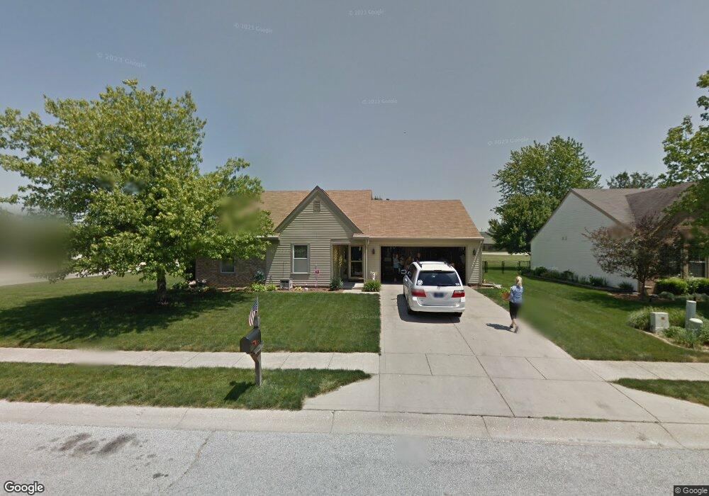
1001 Randall Way Brownsburg, IN 46112
Estimated Value: $275,390 - $306,000
4
Beds
2
Baths
1,486
Sq Ft
$193/Sq Ft
Est. Value
About This Home
This home is located at 1001 Randall Way, Brownsburg, IN 46112 and is currently estimated at $286,098, approximately $192 per square foot. 1001 Randall Way is a home located in Hendricks County with nearby schools including Eagle Elementary School, Brownsburg West Middle School, and Brownsburg High School.
Ownership History
Date
Name
Owned For
Owner Type
Purchase Details
Closed on
Dec 30, 2020
Sold by
Brooks Douglas J and Brooks Regina A
Bought by
Brook Rental Llc
Current Estimated Value
Purchase Details
Closed on
Dec 21, 2016
Sold by
Smith David L and Smith Kelly
Bought by
Brooks Douglas J and Brooks Regina A
Home Financials for this Owner
Home Financials are based on the most recent Mortgage that was taken out on this home.
Original Mortgage
$101,250
Interest Rate
3.94%
Mortgage Type
New Conventional
Purchase Details
Closed on
Oct 5, 2012
Sold by
Smith David L
Bought by
Smith David L and Smith Kelly
Home Financials for this Owner
Home Financials are based on the most recent Mortgage that was taken out on this home.
Original Mortgage
$108,700
Interest Rate
3.55%
Mortgage Type
VA
Create a Home Valuation Report for This Property
The Home Valuation Report is an in-depth analysis detailing your home's value as well as a comparison with similar homes in the area
Home Values in the Area
Average Home Value in this Area
Purchase History
| Date | Buyer | Sale Price | Title Company |
|---|---|---|---|
| Brook Rental Llc | -- | None Available | |
| Brooks Douglas J | -- | -- | |
| Smith David L | -- | Liberty Title Company Llc |
Source: Public Records
Mortgage History
| Date | Status | Borrower | Loan Amount |
|---|---|---|---|
| Previous Owner | Brooks Douglas J | $101,250 | |
| Previous Owner | Smith David L | $108,700 |
Source: Public Records
Tax History Compared to Growth
Tax History
| Year | Tax Paid | Tax Assessment Tax Assessment Total Assessment is a certain percentage of the fair market value that is determined by local assessors to be the total taxable value of land and additions on the property. | Land | Improvement |
|---|---|---|---|---|
| 2024 | $3,944 | $197,200 | $30,300 | $166,900 |
| 2023 | $3,944 | $197,200 | $29,400 | $167,800 |
| 2022 | $3,014 | $150,700 | $27,500 | $123,200 |
| 2021 | $2,485 | $123,000 | $24,400 | $98,600 |
| 2020 | $2,485 | $123,000 | $25,800 | $97,200 |
| 2019 | $2,460 | $123,000 | $25,200 | $97,800 |
| 2018 | $1,664 | $83,200 | $17,800 | $65,400 |
| 2017 | $1,664 | $83,200 | $18,100 | $65,100 |
| 2016 | $1,354 | $135,400 | $30,600 | $104,800 |
| 2014 | $1,321 | $132,100 | $29,400 | $102,700 |
Source: Public Records
Map
Nearby Homes
- 470 Sycamore St
- 388 Vinewood Dr S
- 370 Vinewood Dr S
- 390 Vinewood Dr N
- 7643 Sagamore Dr
- 308 Maplebrook Dr
- 756 Maple Ln
- 1390 Holiday Ln E
- 117 Prairie Pkwy
- 202 Sugar Bush Ln S
- 1215 Willow Springs Blvd
- 1212 Willow Springs Blvd
- 409 S Grant St
- 5 Roselawn Ave
- 609 Maple Ln
- 652 E Tilden Dr
- 1711 Hunters Trail
- 1010 Lakewood North Dr
- 3 Fairwood Dr
- 3463 Sunnyvale Dr
- 1023 Randall Way
- 1045 Randall Way
- 1002 Randall Way
- 458 Sycamore St
- 1024 Randall Way
- 446 Sycamore St
- 494 Sycamore St
- 1067 Randall Way
- 1046 Randall Way
- 391 Vinewood Dr S Unit 21
- 434 Sycamore St
- 385 Vinewood Dr S
- 385 Vinewood Dr S Unit U24 B20
- 395 Vinewood Dr S
- 3 Daniel Cir
- 399 Vinewood Dr S
- 399 Vinewood Dr S Unit 22/27
- 1068 Randall Way
- 381 Vinewood Dr S
- 7 Daniel Cir