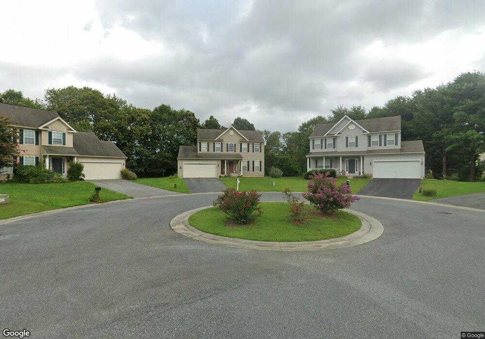
1001 Rori Ct Salisbury, MD 21801
South Salisbury NeighborhoodEstimated Value: $327,623 - $406,000
Studio
3
Baths
2,208
Sq Ft
$169/Sq Ft
Est. Value
About This Home
This home is located at 1001 Rori Ct, Salisbury, MD 21801 and is currently estimated at $372,156, approximately $168 per square foot. 1001 Rori Ct is a home located in Wicomico County with nearby schools including Pemberton Elementary School, Salisbury Middle School, and James M. Bennett High School.
Ownership History
Date
Name
Owned For
Owner Type
Purchase Details
Closed on
May 25, 2006
Sold by
Gemcraft Homes Inc
Bought by
Harrell John L and Harrell Sandra K
Current Estimated Value
Home Financials for this Owner
Home Financials are based on the most recent Mortgage that was taken out on this home.
Original Mortgage
$232,800
Outstanding Balance
$135,828
Interest Rate
6.53%
Mortgage Type
Purchase Money Mortgage
Estimated Equity
$236,328
Purchase Details
Closed on
May 11, 2006
Sold by
Gemcraft Homes Inc
Bought by
Harrell John L and Harrell Sandra K
Home Financials for this Owner
Home Financials are based on the most recent Mortgage that was taken out on this home.
Original Mortgage
$232,800
Outstanding Balance
$135,828
Interest Rate
6.53%
Mortgage Type
Purchase Money Mortgage
Estimated Equity
$236,328
Create a Home Valuation Report for This Property
The Home Valuation Report is an in-depth analysis detailing your home's value as well as a comparison with similar homes in the area
Home Values in the Area
Average Home Value in this Area
Purchase History
| Date | Buyer | Sale Price | Title Company |
|---|---|---|---|
| Harrell John L | $291,060 | -- | |
| Harrell John L | $291,060 | -- |
Source: Public Records
Mortgage History
| Date | Status | Borrower | Loan Amount |
|---|---|---|---|
| Open | Harrell John L | $232,800 | |
| Closed | Harrell John L | $232,800 |
Source: Public Records
Tax History
| Year | Tax Paid | Tax Assessment Tax Assessment Total Assessment is a certain percentage of the fair market value that is determined by local assessors to be the total taxable value of land and additions on the property. | Land | Improvement |
|---|---|---|---|---|
| 2025 | $2,268 | $295,967 | $0 | $0 |
| 2024 | $2,265 | $283,300 | $24,700 | $258,600 |
| 2023 | $2,213 | $261,033 | $0 | $0 |
| 2022 | $2,159 | $238,767 | $0 | $0 |
| 2021 | $1,970 | $216,500 | $24,700 | $191,800 |
| 2020 | $1,970 | $205,700 | $0 | $0 |
| 2019 | $1,903 | $194,900 | $0 | $0 |
| 2018 | $3,298 | $184,100 | $24,700 | $159,400 |
| 2017 | $3,208 | $172,167 | $0 | $0 |
| 2016 | -- | $160,233 | $0 | $0 |
| 2015 | $3,755 | $148,300 | $0 | $0 |
| 2014 | $3,755 | $148,300 | $0 | $0 |
Source: Public Records
Map
Nearby Homes
- 1545 Anchors Way
- 808 Upland Dr
- 5926 Tappan Ln
- 5951 Fire Fly Dr
- 1501 Handys Meadow
- 5952 Tappan Ln
- 5998 Fire Fly Dr
- 28122 Van Tassel Way
- 6023 Tarry Town Rd
- 1410 Bell Island Trail
- 1118 Albritton Ln
- 1123 Albritton Ln
- 1111 Albritton Ln
- 1129 Albritton Ln
- 1105 Nelson Dr
- 1113 Albritton Ln
- 28149 Pathfinder Ct
- 28180 Pathfinder Ct
- 1124 Riverside Dr
- 5983 Ridge Spring Cir
Your Personal Tour Guide
Ask me questions while you tour the home.