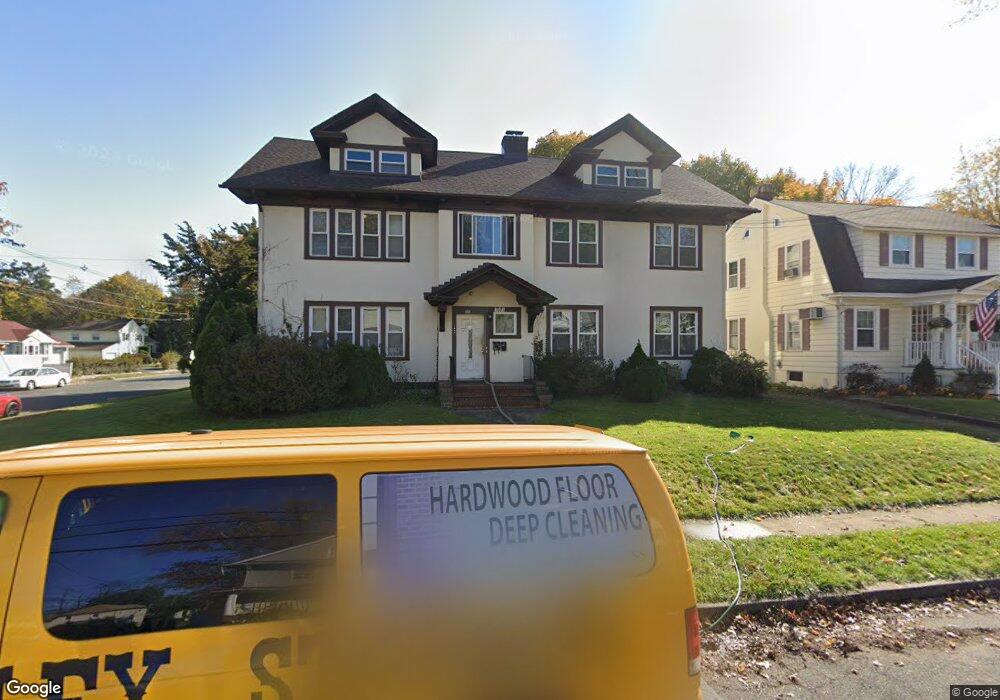
1001 W 6th St Unit 5 Plainfield, NJ 07063
Estimated Value: $516,000 - $649,000
Studio
--
Bath
3,316
Sq Ft
$180/Sq Ft
Est. Value
About This Home
This home is located at 1001 W 6th St Unit 5, Plainfield, NJ 07063 and is currently estimated at $596,860, approximately $179 per square foot. 1001 W 6th St Unit 5 is a home located in Union County with nearby schools including Clinton School, Hubbard Middle School, and Plainfield High School.
Ownership History
Date
Name
Owned For
Owner Type
Purchase Details
Closed on
Jan 29, 2002
Sold by
Brown Enoch
Bought by
Green Vernon
Current Estimated Value
Home Financials for this Owner
Home Financials are based on the most recent Mortgage that was taken out on this home.
Original Mortgage
$145,350
Outstanding Balance
$60,483
Interest Rate
7.15%
Estimated Equity
$536,377
Create a Home Valuation Report for This Property
The Home Valuation Report is an in-depth analysis detailing your home's value as well as a comparison with similar homes in the area
Home Values in the Area
Average Home Value in this Area
Purchase History
| Date | Buyer | Sale Price | Title Company |
|---|---|---|---|
| Green Vernon | $153,000 | -- |
Source: Public Records
Mortgage History
| Date | Status | Borrower | Loan Amount |
|---|---|---|---|
| Open | Green Vernon | $145,350 |
Source: Public Records
Tax History
| Year | Tax Paid | Tax Assessment Tax Assessment Total Assessment is a certain percentage of the fair market value that is determined by local assessors to be the total taxable value of land and additions on the property. | Land | Improvement |
|---|---|---|---|---|
| 2025 | $12,234 | $140,100 | $41,600 | $98,500 |
| 2024 | $12,113 | $140,100 | $41,600 | $98,500 |
| 2023 | $12,113 | $140,100 | $41,600 | $98,500 |
| 2022 | $11,851 | $140,100 | $41,600 | $98,500 |
| 2021 | $11,747 | $140,100 | $41,600 | $98,500 |
| 2020 | $11,714 | $140,100 | $41,600 | $98,500 |
| 2019 | $11,714 | $140,100 | $41,600 | $98,500 |
| 2018 | $11,469 | $140,100 | $41,600 | $98,500 |
| 2017 | $11,188 | $140,100 | $41,600 | $98,500 |
| 2016 | $10,960 | $140,100 | $41,600 | $98,500 |
| 2015 | $10,636 | $140,100 | $41,600 | $98,500 |
| 2014 | -- | $140,100 | $41,600 | $98,500 |
Source: Public Records
Map
Nearby Homes
- 962-64 W 6th St
- 950 W 6th St Unit 52
- 1028 W 5th St
- 954 W 4th St
- 325 Manson Place Unit 27
- 312 Monroe Ave Unit 14
- 320 Lee Place
- 318-20 Manson Place
- 820 W 8th St Unit 22
- 355 Bergen St
- 219 Stebbins Place
- 745 W 4th St Unit 47
- 318 Halsey St Unit 20
- 667 S 2nd St
- 301 Grant Ave Unit 3
- 901 Sherman Ave Unit 11
- 1315 W 6th St
- 211 Grant Ave
- 139 Palmer Ave
- 525 Trinity St
- 1007 W 6th St Unit 9
- 612 Monroe Ave Unit 14
- 614 Monroe Ave
- 1011 W 6th St Unit 13
- 971 W 6th St Unit 73
- 1015 W 6th St Unit 17
- 1000 W 6th St Unit 2
- 1004 W 6th St Unit 6
- 967 W 6th St Unit 69
- 616 Monroe Ave Unit 18
- 616-18 Monroe Ave
- 611 Monroe Ave Unit 17
- 613 Monroe Ave
- 1008 W 6th St Unit 10
- 970 W 6th St Unit 72
- 1019 W 6th St Unit 21
- 966 W 6th St Unit 68
- 1012 W 6th St Unit 18
- 963 W 6th St Unit 65
- 619 Monroe Ave Unit 23
Your Personal Tour Guide
Ask me questions while you tour the home.