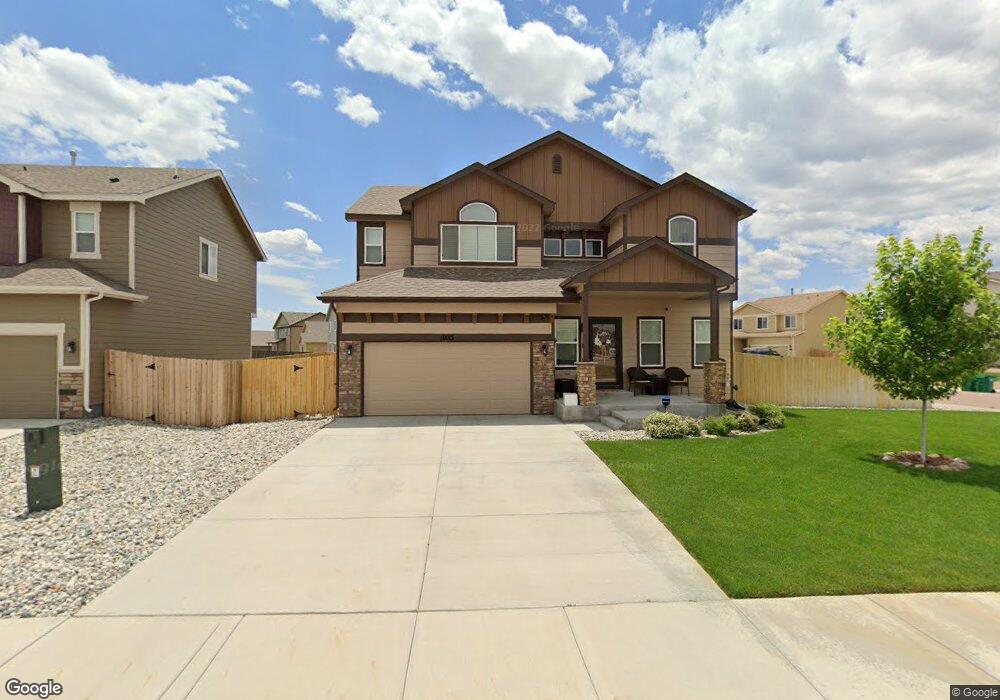
10013 Thunderbolt Trail Colorado Springs, CO 80925
Widefield NeighborhoodEstimated Value: $455,383 - $524,000
4
Beds
3
Baths
2,152
Sq Ft
$226/Sq Ft
Est. Value
About This Home
This home is located at 10013 Thunderbolt Trail, Colorado Springs, CO 80925 and is currently estimated at $485,596, approximately $225 per square foot. 10013 Thunderbolt Trail is a home with nearby schools including Grand Mountain School, Mesa Ridge High School, and Valley Christian Academy.
Ownership History
Date
Name
Owned For
Owner Type
Purchase Details
Closed on
Oct 3, 2016
Sold by
Salnt Aubyn Homes Llc
Bought by
Cummins Donald E and Cummins Veronica M
Current Estimated Value
Home Financials for this Owner
Home Financials are based on the most recent Mortgage that was taken out on this home.
Original Mortgage
$315,162
Outstanding Balance
$252,421
Interest Rate
3.43%
Mortgage Type
New Conventional
Estimated Equity
$233,175
Create a Home Valuation Report for This Property
The Home Valuation Report is an in-depth analysis detailing your home's value as well as a comparison with similar homes in the area
Home Values in the Area
Average Home Value in this Area
Purchase History
| Date | Buyer | Sale Price | Title Company |
|---|---|---|---|
| Cummins Donald E | $331,800 | Heritage Title Co |
Source: Public Records
Mortgage History
| Date | Status | Borrower | Loan Amount |
|---|---|---|---|
| Open | Cummins Donald E | $315,162 |
Source: Public Records
Tax History Compared to Growth
Tax History
| Year | Tax Paid | Tax Assessment Tax Assessment Total Assessment is a certain percentage of the fair market value that is determined by local assessors to be the total taxable value of land and additions on the property. | Land | Improvement |
|---|---|---|---|---|
| 2025 | $4,909 | $32,920 | -- | -- |
| 2024 | $4,864 | $34,200 | $6,040 | $28,160 |
| 2022 | $3,684 | $24,820 | $4,810 | $20,010 |
| 2021 | $3,834 | $25,540 | $4,950 | $20,590 |
| 2020 | $3,708 | $24,460 | $4,330 | $20,130 |
| 2019 | $3,697 | $24,460 | $4,330 | $20,130 |
| 2018 | $3,532 | $23,190 | $4,360 | $18,830 |
| 2017 | $3,602 | $23,190 | $4,360 | $18,830 |
| 2016 | $736 | $5,280 | $5,280 | $0 |
Source: Public Records
Map
Nearby Homes
- 6672 Kearsarge Dr
- 6705 Liberator Trail
- 6562 Phantom Way
- 6755 Phantom Way
- 10179 Seawolf Dr
- 10250 Intrepid Way
- 10128 Castor Dr
- 10202 Abrams Dr
- 10208 Abrams Dr
- 10105 Castor Dr
- 6868 Alsea Dr
- 10868 Deer Meadow Cir
- 6577 Rubicon Heights
- 6924 Winnicut Dr
- 6565 Carriage Meadows Dr
- 9949 Castor Dr
- 9835 Rubicon Dr
- 6338 Bearcat Loop
- 6961 Maidford Dr
- 6441 Old Glory Dr
- 10025 Thunderbolt Trail
- 6649 Kearsarge Dr
- 6585 Kearsarge Dr
- 10037 Thunderbolt Trail
- 6665 Kearsarge Dr
- 10024 Thunderbolt Trail
- 6632 Kearsarge Dr
- 10049 Thunderbolt Trail
- 6569 Kearsarge Dr
- 6648 Kearsarge Dr
- 6584 Kearsarge Dr
- 6681 Kearsarge Dr
- 10036 Thunderbolt Trail
- 6664 Kearsarge Dr
- 10061 Thunderbolt Trail
- 6568 Kearsarge Dr
- 6563 Kearsarge Dr
- 10048 Thunderbolt Trail
- 10111 Declaration Dr
- 6680 Kearsarge Dr