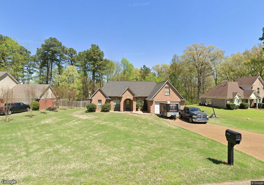
10015 Victor Dr Olive Branch, MS 38654
Estimated Value: $324,000 - $375,000
4
Beds
2
Baths
2,553
Sq Ft
$135/Sq Ft
Est. Value
About This Home
This home is located at 10015 Victor Dr, Olive Branch, MS 38654 and is currently estimated at $344,609, approximately $134 per square foot. 10015 Victor Dr is a home located in DeSoto County with nearby schools including Olive Branch Elementary School, Chickasaw Elementary School, and Olive Branch Middle School.
Ownership History
Date
Name
Owned For
Owner Type
Purchase Details
Closed on
Mar 1, 2014
Sold by
Eads Sarah and Eads Jory D
Bought by
Eads Jory D
Current Estimated Value
Purchase Details
Closed on
Aug 28, 2008
Sold by
Box Wallace M and Box Denise A
Bought by
Eads Jory D
Home Financials for this Owner
Home Financials are based on the most recent Mortgage that was taken out on this home.
Original Mortgage
$191,987
Outstanding Balance
$125,346
Interest Rate
6.48%
Mortgage Type
FHA
Estimated Equity
$219,264
Create a Home Valuation Report for This Property
The Home Valuation Report is an in-depth analysis detailing your home's value as well as a comparison with similar homes in the area
Home Values in the Area
Average Home Value in this Area
Purchase History
| Date | Buyer | Sale Price | Title Company |
|---|---|---|---|
| Eads Jory D | -- | None Available | |
| Eads Jory D | -- | Realty Title |
Source: Public Records
Mortgage History
| Date | Status | Borrower | Loan Amount |
|---|---|---|---|
| Open | Eads Jory D | $191,987 |
Source: Public Records
Tax History
| Year | Tax Paid | Tax Assessment Tax Assessment Total Assessment is a certain percentage of the fair market value that is determined by local assessors to be the total taxable value of land and additions on the property. | Land | Improvement |
|---|---|---|---|---|
| 2025 | $2,274 | $22,232 | $3,500 | $18,732 |
| 2024 | $1,952 | $16,503 | $3,500 | $13,003 |
| 2023 | $1,952 | $16,503 | $0 | $0 |
| 2022 | $1,952 | $16,503 | $3,500 | $13,003 |
| 2021 | $1,952 | $16,503 | $3,500 | $13,003 |
| 2020 | $1,810 | $15,459 | $3,500 | $11,959 |
| 2019 | $1,810 | $15,459 | $3,500 | $11,959 |
| 2017 | $1,766 | $26,614 | $15,057 | $11,557 |
| 2016 | $1,854 | $15,699 | $3,500 | $12,199 |
| 2015 | $2,154 | $27,898 | $15,699 | $12,199 |
| 2014 | $1,854 | $15,699 | $0 | $0 |
| 2013 | $1,791 | $15,699 | $0 | $0 |
Source: Public Records
Map
Nearby Homes
- 5806 Southbend Ln
- 5825 Southridge Dr
- 6073 Allen Pkwy E
- 5750 Sparrow Run
- 9598 Nielsen Dr
- 5956 Eagleston Dr
- 7550 Old Highway 78
- 9678 Vaughters Cove
- 6286 Seminole Dr
- 2914 Cypress Lake Dr S
- 10640 Mississippi 178
- 9930 Sequoia Ln
- 9893 Cherokee Dr
- 5696 Blocker St
- 5795 Brice Cove S
- 0 Hacks Rd Unit 4132565
- 6531 Kristen Dr
- 10719 Highway 178
- 10238 March Meadows Way
- 9919 Adina Cove
- 10020 Victor Dr
- 10047 Victor Dr
- 10009 Victor Dr
- 10075 Victor Dr
- 10012 Victor Dr
- 10036 Victor Dr
- 10103 Victor Dr
- 10005 Victor Dr
- 10060 Victor Dr
- 9980 Victor Dr
- 10058 Lacey Dr
- 10058 Lacy Dr
- 9995 Victor Dr
- 9964 Victor Dr
- 10066 Victor Dr
- 10125 Victor Dr
- 10086 Victor Dr
- 10131 Victor Dr
- 10100 Victor Dr
- 10037 Lacy Dr