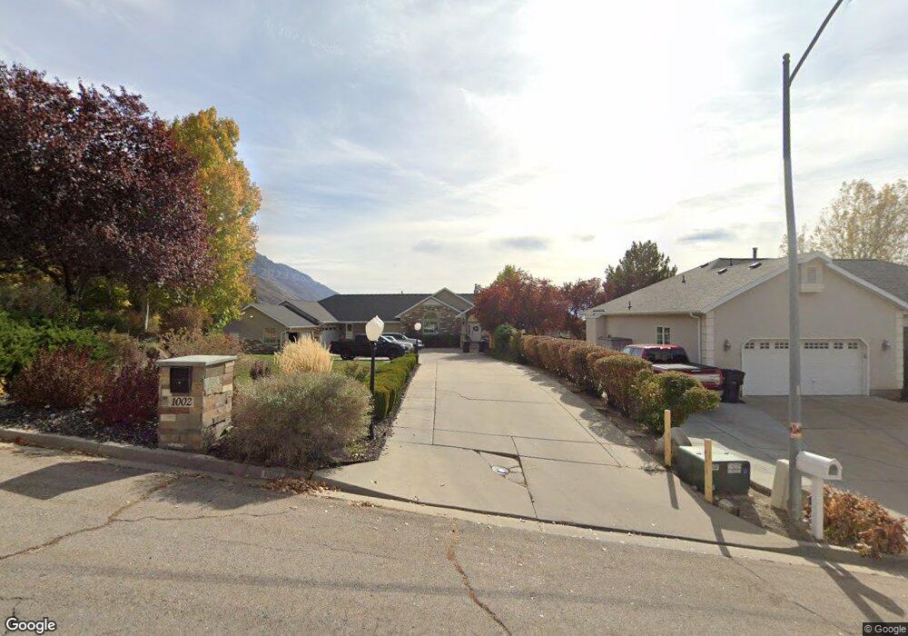
1002 Hillside Dr Unit 1 Provo, UT 84604
Rock Canyon NeighborhoodEstimated Value: $1,677,000 - $2,051,389
9
Beds
7
Baths
10,178
Sq Ft
$186/Sq Ft
Est. Value
About This Home
This home is located at 1002 Hillside Dr Unit 1, Provo, UT 84604 and is currently estimated at $1,897,130, approximately $186 per square foot. 1002 Hillside Dr Unit 1 is a home located in Utah County with nearby schools including Canyon Crest Elementary School, Centennial Middle School, and Timpview High School.
Ownership History
Date
Name
Owned For
Owner Type
Purchase Details
Closed on
Jan 10, 2020
Sold by
Hill Jeffrey W
Bought by
Hill Jeffrey William and Hill Sherrie Lynn
Current Estimated Value
Purchase Details
Closed on
May 14, 2003
Sold by
Kerr Sterling and Gottuso Salvatore
Bought by
Hill Jeffery W
Purchase Details
Closed on
May 14, 1998
Sold by
Moses Rebecca H and Harris Rebecca H
Bought by
Kerr Sterling and Eagles Nest Trust
Home Financials for this Owner
Home Financials are based on the most recent Mortgage that was taken out on this home.
Original Mortgage
$350,000
Interest Rate
7.13%
Create a Home Valuation Report for This Property
The Home Valuation Report is an in-depth analysis detailing your home's value as well as a comparison with similar homes in the area
Home Values in the Area
Average Home Value in this Area
Purchase History
| Date | Buyer | Sale Price | Title Company |
|---|---|---|---|
| Hill Jeffrey William | -- | None Available | |
| Hill Jeffery W | $500,000 | -- | |
| Kerr Sterling | -- | -- |
Source: Public Records
Mortgage History
| Date | Status | Borrower | Loan Amount |
|---|---|---|---|
| Previous Owner | Kerr Sterling | $350,000 |
Source: Public Records
Tax History
| Year | Tax Paid | Tax Assessment Tax Assessment Total Assessment is a certain percentage of the fair market value that is determined by local assessors to be the total taxable value of land and additions on the property. | Land | Improvement |
|---|---|---|---|---|
| 2025 | $8,375 | $967,325 | -- | -- |
| 2024 | $8,375 | $824,385 | $0 | $0 |
| 2023 | $8,021 | $778,350 | $0 | $0 |
| 2022 | $7,228 | $1,276,300 | $398,800 | $877,500 |
| 2021 | $5,790 | $983,200 | $263,900 | $719,300 |
| 2020 | $5,810 | $925,300 | $220,100 | $705,200 |
| 2019 | $5,419 | $897,500 | $220,100 | $677,400 |
| 2018 | $5,344 | $897,500 | $220,100 | $677,400 |
| 2017 | $5,349 | $495,920 | $0 | $0 |
| 2016 | $5,176 | $447,300 | $0 | $0 |
| 2015 | $4,901 | $428,105 | $0 | $0 |
| 2014 | $4,581 | $417,105 | $0 | $0 |
Source: Public Records
Map
Nearby Homes
- 4640 Brookshire Cir
- 1085 Windsor Dr
- 924 Redford Dr
- 4601 Foothill Dr
- 4299 Ivy Ln
- 981 Waterford Dr Unit 5&6
- 645 Foothill Dr
- 285 Three Fountains Dr
- 3943 Foothill Dr
- 221 E 4735 N
- 144 E 4620 N
- 4161 N Canyon Rd Unit 2
- 3702 N 920 E
- 299 E 4000 N
- 407 E 3900 Rd N Unit 1
- 407 E 3900 Rd N
- 3726 Devonshire Dr
- 5005 N Edgewood Dr Unit 310
- 3711 N Canyon Rd
- 3690 N Canyon Rd
- 1002 Hillside Dr
- 994 Hillside Dr
- 4650 Hillside Dr
- 1029 Windsor Dr
- 4634 Hillside Dr
- 4634 Hillside Dr Unit 7
- 1037 Windsor Dr
- 4650 N Hillside Dr
- 4672 Hillside Dr
- 1007 Hillside Dr
- 4624 Hillside Dr
- 1019 Hillside Dr
- 995 Hillside Dr
- 1022 Hillside Dr Unit 233
- 4637 Hillside Dr
- 1037 Hillside Dr
- 1022 Windsor Dr
- 4653 Hillside Dr
- 4653 Hillside Dr Unit 224
- 1028 Hillside Dr
Your Personal Tour Guide
Ask me questions while you tour the home.