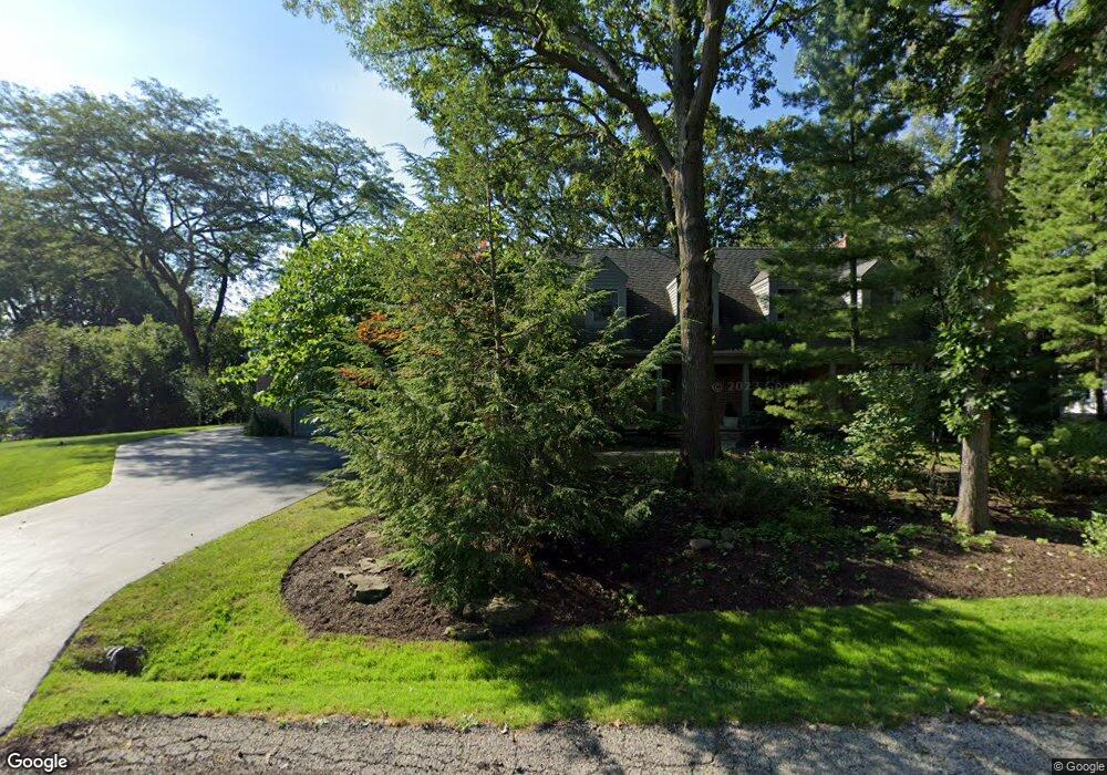
1002 Quassey Ave Lake Bluff, IL 60044
Estimated Value: $513,460 - $550,000
--
Bed
3
Baths
2,283
Sq Ft
$231/Sq Ft
Est. Value
About This Home
This home is located at 1002 Quassey Ave, Lake Bluff, IL 60044 and is currently estimated at $527,865, approximately $231 per square foot. 1002 Quassey Ave is a home located in Lake County with nearby schools including Lake Bluff Elementary School, Lake Bluff Middle School, and Lake Forest High School.
Ownership History
Date
Name
Owned For
Owner Type
Purchase Details
Closed on
Sep 6, 2024
Sold by
Sublewski Thomas J and Sublewski Elizabeth L
Bought by
Elizabeth Lucas Sublewski May 2017 Living Tru and Sublewski
Current Estimated Value
Purchase Details
Closed on
Apr 18, 1997
Sold by
Bertucci Samuel L and Bertucci Robin Smith
Bought by
Sublewski Thomas J and Sublewski Elizabeth L
Home Financials for this Owner
Home Financials are based on the most recent Mortgage that was taken out on this home.
Original Mortgage
$280,000
Interest Rate
8.05%
Create a Home Valuation Report for This Property
The Home Valuation Report is an in-depth analysis detailing your home's value as well as a comparison with similar homes in the area
Home Values in the Area
Average Home Value in this Area
Purchase History
| Date | Buyer | Sale Price | Title Company |
|---|---|---|---|
| Elizabeth Lucas Sublewski May 2017 Living Tru | -- | None Listed On Document | |
| Sublewski Thomas J | $350,000 | Attorneys Natl Title Network |
Source: Public Records
Mortgage History
| Date | Status | Borrower | Loan Amount |
|---|---|---|---|
| Previous Owner | Sublewski Thomas J | $280,000 |
Source: Public Records
Tax History Compared to Growth
Tax History
| Year | Tax Paid | Tax Assessment Tax Assessment Total Assessment is a certain percentage of the fair market value that is determined by local assessors to be the total taxable value of land and additions on the property. | Land | Improvement |
|---|---|---|---|---|
| 2024 | $8,451 | $147,030 | $37,454 | $109,576 |
| 2023 | $8,496 | $135,536 | $34,526 | $101,010 |
| 2022 | $8,496 | $134,300 | $34,211 | $100,089 |
| 2021 | $8,655 | $133,142 | $33,916 | $99,226 |
| 2020 | $8,483 | $133,879 | $34,104 | $99,775 |
| 2019 | $10,829 | $172,127 | $33,478 | $138,649 |
| 2018 | $9,834 | $151,424 | $37,272 | $114,152 |
| 2017 | $10,328 | $166,698 | $36,649 | $130,049 |
| 2016 | $9,949 | $158,669 | $34,884 | $123,785 |
| 2015 | $9,332 | $142,270 | $32,847 | $109,423 |
| 2014 | $8,769 | $134,728 | $43,954 | $90,774 |
| 2012 | $8,206 | $135,896 | $44,335 | $91,561 |
Source: Public Records
Map
Nearby Homes
- 1004 Jenkisson Ave
- 1122 Foster Ave
- 2 Green Ave
- 1019 Rockland Rd
- 717 Burris Ave
- 630 Smith Ave
- 2020 Knollwood Rd
- 28585 Ashford Ct
- 555 Basil Rd
- 11 Shagbark Rd
- 511 Rockland Rd
- 106 Woodbury Ln Unit 41A
- 114 Woodbury Ln Unit 42C
- 1696 N Waukegan Rd
- 3275 Stratford Ct Unit 1A
- 12900 W Heiden Cir Unit 4410
- 13296 W Heiden Cir Unit 54
- 1200 Regency Ln
- 13000 W Heiden Cir Unit 3106
- 13200 W Heiden Cir Unit 2105
- 1008 Foster Ave
- 1005 Quassey Ave
- 1003 Quassey Ave
- 1012 Foster Ave
- 1010 Foster Ave
- 1004 Foster Ave
- 1007 Quassey Ave
- 1018 Quassey Ave
- 1016 Foster Ave
- 1019 Foster Ave
- 1001 Quassey Ave
- 302 N Waukegan Rd
- 1011 Quassey Ave
- 304 N Waukegan Rd
- 1006 Plaister Ave
- 308 Waukegan Rd
- 1004 Plaister Ave
- 1008 Plaister Ave
- 218 N Waukegan Rd
- 1024 Quassey Ave