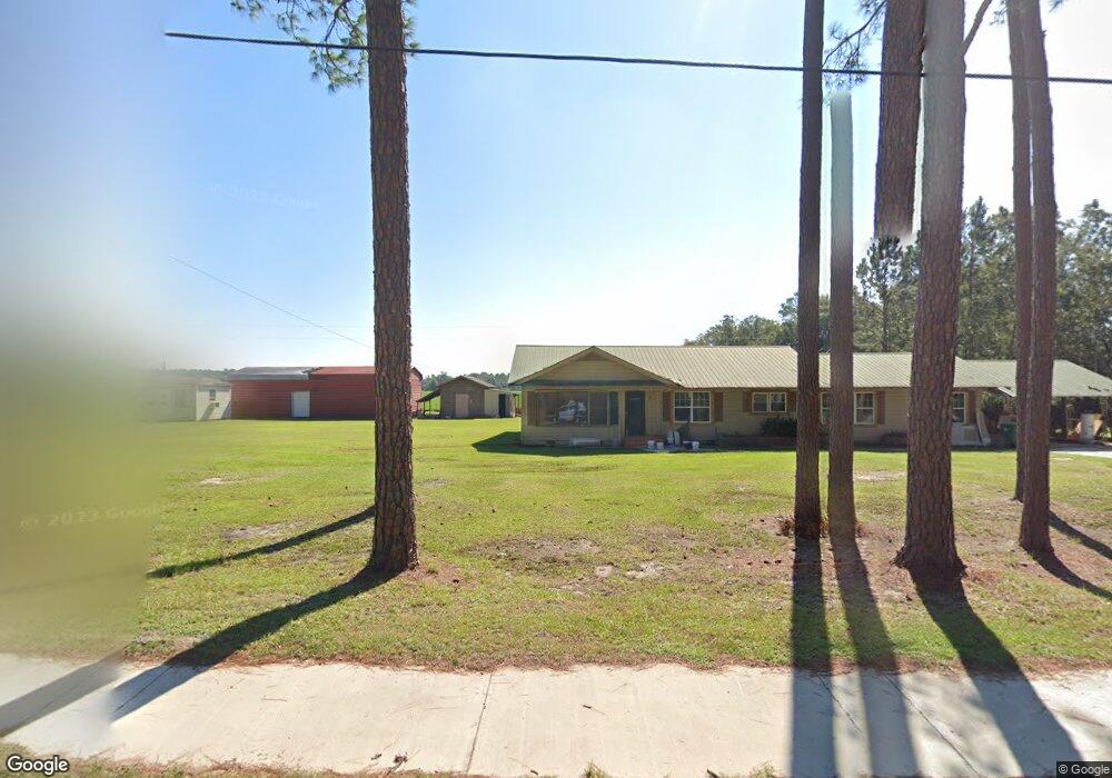
1002 Us Highway 441 N Pearson, GA 31642
Estimated Value: $156,000 - $179,000
--
Bed
1
Bath
2,014
Sq Ft
$83/Sq Ft
Est. Value
About This Home
This home is located at 1002 Us Highway 441 N, Pearson, GA 31642 and is currently estimated at $167,328, approximately $83 per square foot. 1002 Us Highway 441 N is a home with nearby schools including Pearson Elementary School, Willacoochee Elementary School, and Atkinson County High School.
Ownership History
Date
Name
Owned For
Owner Type
Purchase Details
Closed on
Mar 28, 2023
Sold by
Odom Gary S
Bought by
Armengolt Adelina
Current Estimated Value
Home Financials for this Owner
Home Financials are based on the most recent Mortgage that was taken out on this home.
Original Mortgage
$143,284
Outstanding Balance
$79,938
Interest Rate
6.65%
Mortgage Type
Mortgage Modification
Estimated Equity
$87,390
Purchase Details
Closed on
Jul 20, 2007
Sold by
Morgan A A
Bought by
Odom Gary S and Odom Amanda L
Purchase Details
Closed on
Jul 3, 1954
Bought by
Morgan A A
Create a Home Valuation Report for This Property
The Home Valuation Report is an in-depth analysis detailing your home's value as well as a comparison with similar homes in the area
Home Values in the Area
Average Home Value in this Area
Purchase History
| Date | Buyer | Sale Price | Title Company |
|---|---|---|---|
| Armengolt Adelina | $160,000 | -- | |
| Odom Gary S | $61,000 | -- | |
| Morgan A A | -- | -- |
Source: Public Records
Mortgage History
| Date | Status | Borrower | Loan Amount |
|---|---|---|---|
| Open | Armengolt Adelina | $143,284 |
Source: Public Records
Tax History Compared to Growth
Tax History
| Year | Tax Paid | Tax Assessment Tax Assessment Total Assessment is a certain percentage of the fair market value that is determined by local assessors to be the total taxable value of land and additions on the property. | Land | Improvement |
|---|---|---|---|---|
| 2024 | $758 | $24,800 | $4,248 | $20,552 |
| 2023 | $758 | $24,800 | $4,248 | $20,552 |
| 2022 | $755 | $24,800 | $4,248 | $20,552 |
| 2021 | $797 | $24,800 | $4,248 | $20,552 |
| 2020 | $797 | $24,800 | $4,248 | $20,552 |
| 2019 | $798 | $24,800 | $4,248 | $20,552 |
| 2018 | $802 | $24,800 | $4,248 | $20,552 |
| 2017 | $798 | $24,800 | $4,248 | $20,552 |
| 2016 | $798 | $24,800 | $4,248 | $20,552 |
| 2015 | -- | $24,799 | $4,248 | $20,552 |
| 2014 | -- | $24,800 | $4,248 | $20,552 |
Source: Public Records
Map
Nearby Homes
- 00 Us-441 S
- 0 Honeysuckle Ln Unit 10623320
- 00 Cogdell Hwy
- 684 Columbus Rd
- 110 Shortrun Ln
- Tbd Lazy Nine Rd
- 35 Fawn Ln
- 53 Apple Blossom Rd
- N/A Fernwood Dr
- 76 Bocage Dr
- 6923 Willacoochee Hwy
- 00 Harvey Vickers Rd
- 166 Tempa Ln
- 104 Tempa Ln
- 389 Pine Valley Rd
- 1635 Logan Dr
- 380 Brookewood Dr
- 2987 Baymeadows Dr W
- 2828 Baymeadows Dr W
- 70 Angie Dr
- 1058 U S 441
- 976 Main St N
- 1011 Us Highway 441 N
- 965 Main St N
- 51 Herrin Mullis Ln
- 1079 Us Highway 441 N
- 1079 U S 441
- 61 Herrin Mullis Ln
- 1121 U S 441
- 83 Herrin Mullis Ln
- 905 Main St N
- 117 Herrin Mullis Ln
- 1168 Us Highway 441 N
- 1168 U S 441 Unit Pearson
- 1168 U S 441
- 250 Rosewood St
- 232 Rosewood St
- 216 Rosewood St
- 230 Herrin Mullis Ln
- 205 Robbie Haskins Rd