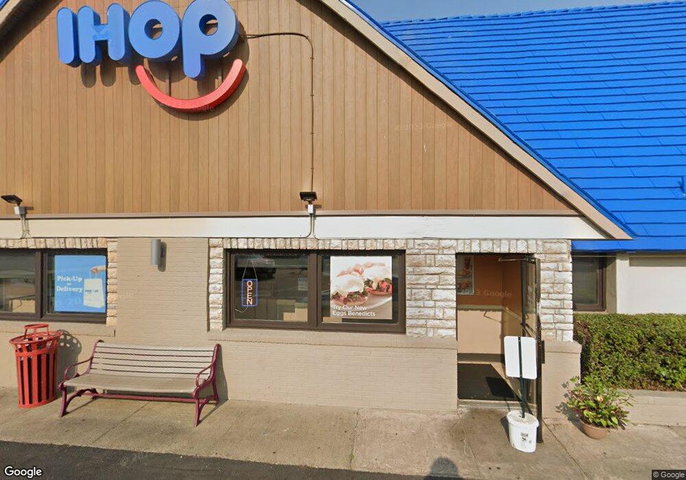
1002 W Mercury Blvd Hampton, VA 23666
Coliseum Central NeighborhoodEstimated Value: $1,301,203
--
Bed
--
Bath
2,361
Sq Ft
$551/Sq Ft
Est. Value
About This Home
This home is located at 1002 W Mercury Blvd, Hampton, VA 23666 and is currently estimated at $1,301,203, approximately $551 per square foot. 1002 W Mercury Blvd is a home located in Hampton City with nearby schools including Aberdeen Elementary School, C. Alton Lindsay Middle School, and Hampton High School.
Ownership History
Date
Name
Owned For
Owner Type
Purchase Details
Closed on
Sep 14, 2022
Sold by
Ihop Property Llc
Bought by
Phc Hampton Llc
Current Estimated Value
Home Financials for this Owner
Home Financials are based on the most recent Mortgage that was taken out on this home.
Original Mortgage
$840,000
Outstanding Balance
$800,820
Interest Rate
4.99%
Mortgage Type
New Conventional
Estimated Equity
$500,383
Purchase Details
Closed on
Sep 15, 2014
Sold by
Ihop Real Estates Llc
Bought by
Ihop Property Llc
Create a Home Valuation Report for This Property
The Home Valuation Report is an in-depth analysis detailing your home's value as well as a comparison with similar homes in the area
Home Values in the Area
Average Home Value in this Area
Purchase History
| Date | Buyer | Sale Price | Title Company |
|---|---|---|---|
| Phc Hampton Llc | $1,100,000 | -- | |
| Ihop Property Llc | $1,500,000 | -- |
Source: Public Records
Mortgage History
| Date | Status | Borrower | Loan Amount |
|---|---|---|---|
| Open | Phc Hampton Llc | $840,000 |
Source: Public Records
Tax History Compared to Growth
Tax History
| Year | Tax Paid | Tax Assessment Tax Assessment Total Assessment is a certain percentage of the fair market value that is determined by local assessors to be the total taxable value of land and additions on the property. | Land | Improvement |
|---|---|---|---|---|
| 2025 | $11,866 | $1,031,800 | $731,800 | $300,000 |
| 2024 | $11,866 | $1,031,800 | $731,800 | $300,000 |
| 2023 | $11,969 | $1,031,800 | $731,800 | $300,000 |
| 2022 | $14,893 | $1,262,100 | $731,800 | $530,300 |
| 2021 | $16,449 | $1,178,000 | $731,800 | $446,200 |
| 2020 | $15,650 | $1,262,100 | $731,800 | $530,300 |
| 2019 | $10,505 | $847,200 | $731,800 | $115,400 |
| 2018 | $12,080 | $842,700 | $731,800 | $110,900 |
| 2017 | $12,073 | $0 | $0 | $0 |
| 2016 | $12,073 | $842,700 | $0 | $0 |
| 2015 | $12,073 | $0 | $0 | $0 |
| 2014 | $12,409 | $842,700 | $731,800 | $110,900 |
Source: Public Records
Map
Nearby Homes
- 1829 Broadstreet Rd
- 1827 Broadstreet Rd
- 1825 Broadstreet Rd
- 1813 Gildner Rd
- 8 Riverdale Dr
- 1801 Canterbury Rd
- 9 Julian Place
- 8 Brookfield Dr
- 74 Wheatland Dr
- 2211 N Armistead Ave
- 18 Brookfield Dr
- 18 Findley St
- 121 Findley Square
- 12 Marple Ln
- 118 Raymond Dr
- 100 Freeman Dr
- 613 Freeman Dr
- 6 Linda Cir
- 24 Freeman Dr
- 102 Freeman Dr
- 1004 W Mercury Blvd
- 2001 N Armistead Ave
- 1001 W Mercury Blvd
- 2009 N Armistead Ave
- 920 W Mercury Blvd
- 1010 W Mercury Blvd
- 1015 W Mercury Blvd
- 2 Inglewood Dr
- 1921 N Armistead Ave
- 4 Inglewood Dr
- 918 W Mercury Blvd
- 6 Inglewood Dr
- 2010 N Armistead Ave
- 1023 W Mercury Blvd
- 2013 N Armistead Ave
- 2013 N Armistead Ave
- 8 Inglewood Dr
- 3 Inglewood Dr
- 1020 W Mercury Blvd
- 1911 N Armistead Ave