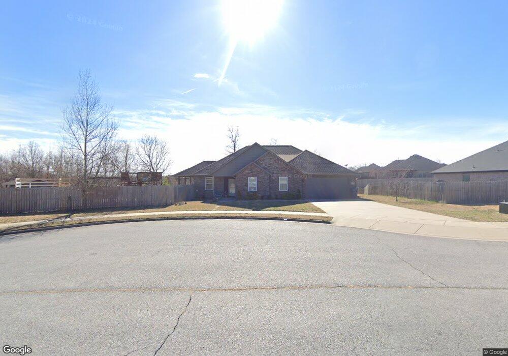
1003 Carter Ct Siloam Springs, AR 72761
Estimated Value: $357,000 - $394,000
--
Bed
1
Bath
2,209
Sq Ft
$171/Sq Ft
Est. Value
About This Home
This home is located at 1003 Carter Ct, Siloam Springs, AR 72761 and is currently estimated at $376,973, approximately $170 per square foot. 1003 Carter Ct is a home located in Benton County with nearby schools including Northside Elementary School, Southside Elementary School, and Delbert Pete & Pat Allen Elementary School.
Ownership History
Date
Name
Owned For
Owner Type
Purchase Details
Closed on
Oct 26, 2023
Sold by
Stonecrest Lot Holdings Llc
Bought by
Stonecrest Subdivision Of Siloam Springs Prop
Current Estimated Value
Purchase Details
Closed on
Mar 31, 2017
Sold by
Chord Properties Llc
Bought by
Anderson Bryan T and Andesson Sara K
Home Financials for this Owner
Home Financials are based on the most recent Mortgage that was taken out on this home.
Original Mortgage
$225,938
Interest Rate
4.1%
Purchase Details
Closed on
Dec 23, 2014
Sold by
Springer Lew A
Bought by
Phillips Brittany
Home Financials for this Owner
Home Financials are based on the most recent Mortgage that was taken out on this home.
Original Mortgage
$99,000
Interest Rate
4.01%
Mortgage Type
New Conventional
Create a Home Valuation Report for This Property
The Home Valuation Report is an in-depth analysis detailing your home's value as well as a comparison with similar homes in the area
Home Values in the Area
Average Home Value in this Area
Purchase History
| Date | Buyer | Sale Price | Title Company |
|---|---|---|---|
| Stonecrest Subdivision Of Siloam Springs Prop | -- | None Listed On Document | |
| Anderson Bryan T | $282,423 | None Available | |
| Phillips Brittany | $99,000 | Waco Title Company |
Source: Public Records
Mortgage History
| Date | Status | Borrower | Loan Amount |
|---|---|---|---|
| Previous Owner | Anderson Bryan T | $225,938 | |
| Previous Owner | Phillips Brittany | $99,000 |
Source: Public Records
Tax History Compared to Growth
Tax History
| Year | Tax Paid | Tax Assessment Tax Assessment Total Assessment is a certain percentage of the fair market value that is determined by local assessors to be the total taxable value of land and additions on the property. | Land | Improvement |
|---|---|---|---|---|
| 2025 | $3,968 | $70,700 | $10,400 | $60,300 |
| 2024 | $2,963 | $70,700 | $10,400 | $60,300 |
| 2023 | $2,822 | $51,470 | $8,000 | $43,470 |
| 2022 | $2,317 | $51,470 | $8,000 | $43,470 |
| 2021 | $2,193 | $51,470 | $8,000 | $43,470 |
| 2020 | $2,079 | $42,600 | $3,000 | $39,600 |
| 2019 | $2,079 | $42,600 | $3,000 | $39,600 |
| 2018 | $2,104 | $42,600 | $3,000 | $39,600 |
| 2017 | $173 | $3,000 | $3,000 | $0 |
| 2016 | $173 | $3,000 | $3,000 | $0 |
| 2015 | $288 | $5,000 | $5,000 | $0 |
| 2014 | $288 | $5,000 | $5,000 | $0 |
Source: Public Records
Map
Nearby Homes
- 8006 David Dr
- 509 Carter Rd
- 7004 David Dr
- 6008 David Dr
- 0 E Sugarloaf St
- 16013 N Airport Rd
- 15564 Airport Rd
- 19941 Edgewood Cir
- 3605 N Marian St
- 925 S Canvasback Dr
- 920 S Canvasback Dr
- 1729-4 Plan at
- 820 S Parrot Ln
- 824 S Parrot Ln
- 4108 E Razorbill Dr
- 0 Old Highway 68 Unit 25340983
- 19372 Old Highway 68 E
- 0 Bill Young Rd Unit 21090656
- 0 Bill Young Rd Unit 1323460
- 14987 S Highway 59
- 1005 Carter Ct
- 9009 Overland Rd
- 9011 Overland Rd
- 9007 Overland Rd
- 908 Carter Ct
- 9005 Overland Rd
- 907 Carter Ct
- 10003 Overland Dr
- 10003 Overland Rd
- 9005 Overland Dr
- 9003 Overland Rd
- 906 Carter Ct
- 10005 Overland Dr
- 905 Carter Ct
- 9008 Overland Rd
- 9010 Overland Rd
- 8007 Overland Rd
- 9006 Overland Rd
- 10002 Overland Rd
- 9006 Overland Dr