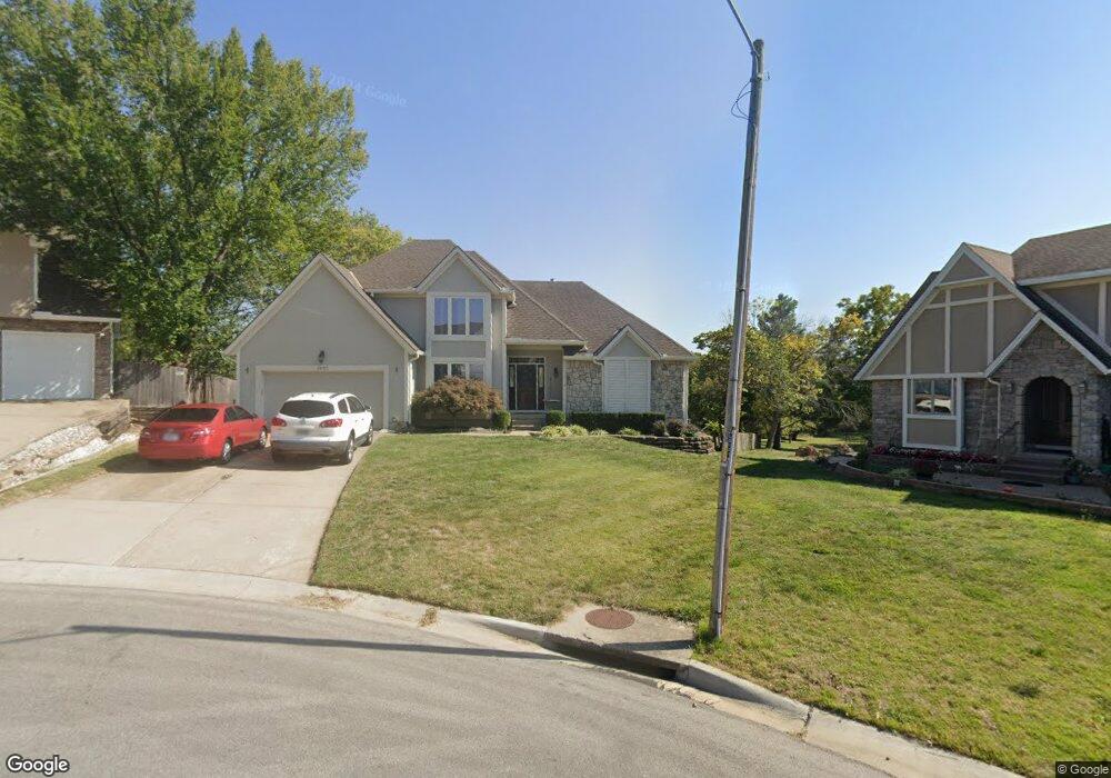
1003 NE Barnes Dr Lees Summit, MO 64086
Estimated Value: $418,954 - $455,000
About This Home
This home is located at 1003 NE Barnes Dr, Lees Summit, MO 64086 and is currently estimated at $440,489, approximately $205 per square foot. 1003 NE Barnes Dr is a home located in Jackson County with nearby schools including Underwood Elementary School, Bernard C. Campbell Middle School, and Lee's Summit North High School.
Ownership History
We collect this data history from publicly available records. To have your information removed, we recommend requesting removal directly through your county’s website.
Purchase Details
Purchase Details
Home Financials for this Owner
Home Financials are based on the most recent Mortgage that was taken out on this home.Purchase Details
Home Financials for this Owner
Home Financials are based on the most recent Mortgage that was taken out on this home.Home Values in the Area
Average Home Value in this Area
Purchase History
We collect this data history from publicly available records. To have your information removed, we recommend requesting removal directly through your county’s website.
| Date | Buyer | Sale Price | Title Company |
|---|---|---|---|
| -- | None Listed On Document | ||
| -- | Stewart Title | ||
| -- | Chicago Title Insurance Co |
Mortgage History
We collect this data history from publicly available records. To have your information removed, we recommend requesting removal directly through your county’s website.
| Date | Status | Borrower | Loan Amount |
|---|---|---|---|
| Previous Owner | $85,000 | ||
| Previous Owner | $136,657 |
Tax History
We collect this data history from publicly available records. To have your information removed, we recommend requesting removal directly through your county’s website.
| Year | Tax Paid | Tax Assessment Tax Assessment Total Assessment is a certain percentage of the fair market value that is determined by local assessors to be the total taxable value of land and additions on the property. | Land | Improvement |
|---|---|---|---|---|
| 2025 | $4,197 | $66,838 | $7,955 | $58,883 |
| 2024 | $4,166 | $58,121 | $9,232 | $48,889 |
| 2023 | $4,166 | $58,121 | $9,232 | $48,889 |
| 2022 | $4,187 | $51,870 | $9,149 | $42,721 |
| 2021 | $4,274 | $51,870 | $9,149 | $42,721 |
| 2020 | $4,110 | $49,391 | $9,149 | $40,242 |
| 2019 | $3,997 | $49,391 | $9,149 | $40,242 |
| 2018 | $985,852 | $42,603 | $5,871 | $36,732 |
| 2017 | $3,716 | $42,603 | $5,871 | $36,732 |
| 2016 | $3,449 | $39,140 | $4,712 | $34,428 |
| 2014 | $3,427 | $38,132 | $4,705 | $33,427 |
Map
- 717 NE Ball Dr
- 1100 NE Deerbrook Terrace
- 1204 NE Hendrix Dr
- 1301 NE Foxwood Dr
- 1210 NE Richardson Place
- 1108 NE Colleen Dr
- 705 NE Banner Dr
- 1700 NE Bluff St
- 1708 NE Bluff St
- 1412 NE Ernest Way
- 1416 NE Ernest Way
- 1612 NE Bluff St
- 617 NE Birchwood Dr
- 525 NE Noeleen Ln
- 1301 NE Horizon Dr
- 1119 NE Clubhouse Cir
- 1029 NE Copperwood Dr
- 724 NE Colleen Dr
- 1103 NE Columbus St
- 1029 NE Brookfield Dr
- 1007 NE Barnes Dr
- 1000 NE Barnes Dr
- 1004 NE Barnes Dr
- 1011 NE Barnes Dr
- 1008 NE Barnes Dr
- 1015 NE Barnes Dr
- 1016 NE Barnes Dr
- 1229 NE Scruggs Rd
- 1007 NE Ball Dr
- 1011 NE Ball Dr
- 1003 NE Ball Dr
- 1015 NE Ball Dr
- 1000 NE Ball Dr
- 1100 NE Barnes Dr
- 1101 NE Barnes Dr
- 1012 NE Ball Dr
- 1004 NE Ball Dr
- 1008 NE Ball Dr
- 1016 NE Ball Dr
- 1104 NE Barnes Dr
Ask me questions while you tour the home.