1003 Nh Route 119 Rindge, NH 03461
Estimated Value: $438,000 - $545,000
3
Beds
2
Baths
2,093
Sq Ft
$229/Sq Ft
Est. Value
About This Home
This home is located at 1003 Nh Route 119, Rindge, NH 03461 and is currently estimated at $478,354, approximately $228 per square foot. 1003 Nh Route 119 is a home located in Cheshire County with nearby schools including Rindge Memorial School, Conant Middle High School, and Conant High School.
Ownership History
Date
Name
Owned For
Owner Type
Purchase Details
Closed on
Aug 30, 2018
Sold by
Schatz Edward B and Schartz Shelley L
Bought by
Pace Jonathan S and Pace Heather L
Current Estimated Value
Home Financials for this Owner
Home Financials are based on the most recent Mortgage that was taken out on this home.
Original Mortgage
$212,000
Outstanding Balance
$184,496
Interest Rate
4.5%
Mortgage Type
Purchase Money Mortgage
Estimated Equity
$293,858
Purchase Details
Closed on
Dec 16, 1993
Bought by
Schatz Edward B and Schatz Shelley L
Create a Home Valuation Report for This Property
The Home Valuation Report is an in-depth analysis detailing your home's value as well as a comparison with similar homes in the area
Home Values in the Area
Average Home Value in this Area
Purchase History
| Date | Buyer | Sale Price | Title Company |
|---|---|---|---|
| Pace Jonathan S | $265,000 | -- | |
| Schatz Edward B | $105,000 | -- |
Source: Public Records
Mortgage History
| Date | Status | Borrower | Loan Amount |
|---|---|---|---|
| Open | Pace Jonathan S | $212,000 |
Source: Public Records
Tax History Compared to Growth
Tax History
| Year | Tax Paid | Tax Assessment Tax Assessment Total Assessment is a certain percentage of the fair market value that is determined by local assessors to be the total taxable value of land and additions on the property. | Land | Improvement |
|---|---|---|---|---|
| 2024 | $5,907 | $233,400 | $45,000 | $188,400 |
| 2023 | $5,844 | $233,400 | $45,000 | $188,400 |
| 2022 | $5,375 | $233,400 | $45,000 | $188,400 |
| 2021 | $5,287 | $233,400 | $45,000 | $188,400 |
| 2020 | $5,240 | $233,400 | $45,000 | $188,400 |
| 2019 | $5,283 | $190,300 | $36,300 | $154,000 |
| 2018 | $5,233 | $190,300 | $36,300 | $154,000 |
| 2017 | $5,174 | $190,300 | $36,300 | $154,000 |
| 2016 | $5,311 | $190,300 | $36,300 | $154,000 |
| 2015 | $5,307 | $190,300 | $36,300 | $154,000 |
| 2014 | $5,055 | $194,200 | $65,500 | $128,700 |
| 2013 | $4,944 | $194,200 | $65,500 | $128,700 |
Source: Public Records
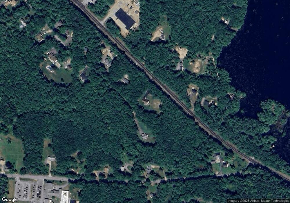
Map
Nearby Homes
- Lot 4 Saybrook Dr
- 7 Emerson Dr
- 11 Mark St
- 110 Red Gate Ln
- 20 W Main St
- 46 Swan Point Rd
- Lot 1 Saybrook Dr
- Lot 2 Saybrook Dr
- Lot 15-0 Saybrook Dr
- 28 Wellington Rd
- Lot 14 Saybrook Dr
- 41 Willow Ln
- 39 Willow Ln
- 31 Willow Ln
- 37 Willow Ln
- 0 Thomas Rd Unit 10 5014817
- 19 Monomonac Terrace
- 40 Maple Dr
- 78 Pine Eden Rd
- 42 Cromwell Dr Unit 19
- 1003 Nh Route 119
- 1013 Nh Route 119
- 112 Butterfield Rd
- Lot 04-46-00 New Hampshire 119
- Lot 54/55 New Hampshire 119 Unit 54/55
- 9-13-2-2 New Hampshire 119
- 1006 Nh Route 119
- 976 Nh Route 119
- 1033 Nh Route 119
- 84 Butterfield Rd
- 1012 Nh Route 119
- 1012 Nh Route 119
- 83 School St
- 81 School St
- 1035 Nh Route 119
- 69 School St
- 1032 New Hampshire 119
- 1032 Nh Route 119
- 31 Crowcroft Dr
- 61 School St