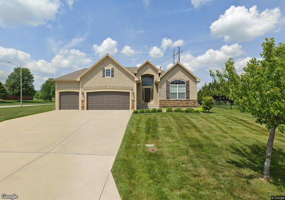
10032 Sunset Dr Lenexa, KS 66220
Estimated Value: $503,000 - $521,487
2
Beds
2
Baths
1,602
Sq Ft
$320/Sq Ft
Est. Value
About This Home
This home is located at 10032 Sunset Dr, Lenexa, KS 66220 and is currently estimated at $513,372, approximately $320 per square foot. 10032 Sunset Dr is a home located in Johnson County with nearby schools including Manchester Park Elementary School, Prairie Trail Middle School, and Olathe Northwest High School.
Ownership History
Date
Name
Owned For
Owner Type
Purchase Details
Closed on
Sep 17, 2009
Sold by
Chris George Homes Inc
Bought by
Jefferson Frank
Current Estimated Value
Home Financials for this Owner
Home Financials are based on the most recent Mortgage that was taken out on this home.
Original Mortgage
$154,500
Outstanding Balance
$100,266
Interest Rate
5.36%
Mortgage Type
New Conventional
Estimated Equity
$413,106
Purchase Details
Closed on
Jun 1, 2009
Sold by
Brittany Development Inc
Bought by
Chris George Homes Inc
Create a Home Valuation Report for This Property
The Home Valuation Report is an in-depth analysis detailing your home's value as well as a comparison with similar homes in the area
Home Values in the Area
Average Home Value in this Area
Purchase History
| Date | Buyer | Sale Price | Title Company |
|---|---|---|---|
| Jefferson Frank | -- | First American Title Ins Co | |
| Chris George Homes Inc | -- | Homestead Title |
Source: Public Records
Mortgage History
| Date | Status | Borrower | Loan Amount |
|---|---|---|---|
| Open | Jefferson Frank | $154,500 |
Source: Public Records
Tax History
| Year | Tax Paid | Tax Assessment Tax Assessment Total Assessment is a certain percentage of the fair market value that is determined by local assessors to be the total taxable value of land and additions on the property. | Land | Improvement |
|---|---|---|---|---|
| 2025 | $6,818 | $57,592 | $12,212 | $45,380 |
| 2024 | $6,818 | $55,511 | $12,212 | $43,299 |
| 2023 | $7,060 | $56,396 | $12,212 | $44,184 |
| 2022 | $6,535 | $50,899 | $10,176 | $40,723 |
| 2021 | $6,105 | $45,218 | $10,176 | $35,042 |
| 2020 | $5,770 | $42,309 | $8,847 | $33,462 |
| 2019 | $5,433 | $39,514 | $8,847 | $30,667 |
| 2018 | $5,146 | $36,996 | $8,847 | $28,149 |
| 2017 | $4,771 | $33,534 | $8,040 | $25,494 |
| 2016 | $4,414 | $31,705 | $7,652 | $24,053 |
| 2015 | $4,459 | $32,050 | $7,652 | $24,398 |
| 2013 | -- | $28,313 | $7,652 | $20,661 |
Source: Public Records
Map
Nearby Homes
- 10219 Theden Cir
- 20318 W 99th Terrace
- 21715 W 100th Terrace
- 27492 W 100th Terrace
- 21901 W 99th Terrace
- 22005 W 99th Terrace
- 22077 W 99th Terrace
- 22017 W 99th Terrace
- 22029 W 99th Terrace
- 21600 W 98th Terrace
- 22076 W 99th Terrace
- 9742 Sunset Cir
- 21913 W 99th Terrace
- 10026 Aurora St
- 21925 W 99th Terrace
- 21926 W 99th Terrace
- 21938 W 99th Terrace
- 22053 W 99th Terrace
- 9828 Vista Dr
- 22087 W 100th Terrace
- 10028 Sunset Dr
- 10024 Sunset Dr
- 10031 Sunset Dr
- 10027 Sunset Dr
- 10101 Theden Cir
- 10020 Sunset Dr
- 10023 Sunset Dr
- 10105 Theden Cir
- 20831 W 100th Terrace
- 10016 Sunset Dr
- 10019 Sunset Dr
- 10249 Theden Cir
- 10109 Theden Cir
- 10245 Theden Cir
- 20827 W 100th Terrace
- 10015 Sunset Dr
- 10012 Sunset Dr
- 10113 Theden Cir
- 20830 W 100th Terrace
- 10243 Theden Cir
Your Personal Tour Guide
Ask me questions while you tour the home.