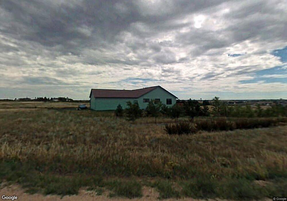
10033 Branding Iron Dr Cheyenne, WY 82009
Ranchettes NeighborhoodEstimated Value: $693,000 - $722,000
--
Bed
1
Bath
2,829
Sq Ft
$251/Sq Ft
Est. Value
About This Home
This home is located at 10033 Branding Iron Dr, Cheyenne, WY 82009 and is currently estimated at $710,255, approximately $251 per square foot. 10033 Branding Iron Dr is a home located in Laramie County with nearby schools including Prairie Wind Elementary School, McCormick Junior High School, and Central High School.
Ownership History
Date
Name
Owned For
Owner Type
Purchase Details
Closed on
Jan 26, 1999
Sold by
Brown Craig S and Brown Janis E
Bought by
Smith Steven D and Smith Julie A
Current Estimated Value
Home Financials for this Owner
Home Financials are based on the most recent Mortgage that was taken out on this home.
Original Mortgage
$219,600
Outstanding Balance
$51,621
Interest Rate
6.66%
Estimated Equity
$658,634
Create a Home Valuation Report for This Property
The Home Valuation Report is an in-depth analysis detailing your home's value as well as a comparison with similar homes in the area
Home Values in the Area
Average Home Value in this Area
Purchase History
| Date | Buyer | Sale Price | Title Company |
|---|---|---|---|
| Smith Steven D | -- | -- |
Source: Public Records
Mortgage History
| Date | Status | Borrower | Loan Amount |
|---|---|---|---|
| Open | Smith Steven D | $219,600 |
Source: Public Records
Tax History Compared to Growth
Tax History
| Year | Tax Paid | Tax Assessment Tax Assessment Total Assessment is a certain percentage of the fair market value that is determined by local assessors to be the total taxable value of land and additions on the property. | Land | Improvement |
|---|---|---|---|---|
| 2025 | $4,059 | $46,756 | $8,703 | $38,053 |
| 2024 | $4,059 | $60,390 | $11,604 | $48,786 |
| 2023 | $3,845 | $58,513 | $11,604 | $46,909 |
| 2022 | $3,402 | $50,643 | $11,604 | $39,039 |
| 2021 | $3,036 | $45,080 | $9,126 | $35,954 |
| 2020 | $3,002 | $44,711 | $9,126 | $35,585 |
| 2019 | $2,920 | $43,445 | $9,126 | $34,319 |
| 2018 | $2,670 | $40,144 | $6,606 | $33,538 |
| 2017 | $2,622 | $39,040 | $6,412 | $32,628 |
| 2016 | $2,580 | $38,393 | $6,218 | $32,175 |
| 2015 | $2,512 | $37,368 | $6,218 | $31,150 |
| 2014 | $2,528 | $37,343 | $6,218 | $31,125 |
Source: Public Records
Map
Nearby Homes
- 9404 Wayne Rd
- 1745 Silver Spur Rd
- 8704 Cowpoke Rd
- 2918 Sitting Bull Rd
- 8007 Kepler Dr
- 714 E Ole Maverick Rd
- TBD Kepler Dr
- 2500 Moonlight Ct
- 10611 Portugee Phillips Rd
- 724 E Powell Rd
- 808 E Laughlin Rd
- 1218 Wendy Ln
- 1348 Jessi Dr
- 7612 Danni Marie Cir
- 1336 Jessi Dr
- 1348 Jack Ln
- 8012 Bobcat Rd
- 3033 Crazy Horse Rd
- 1316 Jessi Dr
- 3010 Crazy Horse Rd
- 10040 Branding Iron Dr
- 10056 Branding Iron Dr
- 10024 Branding Iron Dr
- 10107 Branding Iron Dr
- 10017 Wayne Rd
- 10102 Branding Iron Dr
- 10110 Branding Iron Dr
- 9920 Branding Iron Dr
- 10015 Wayne Rd
- 1935 Iron Mountain Rd
- 10009 Wayne Rd
- 10403 Wayne Rd
- 10019 Branding Iron Dr
- 9728 Branding Iron Dr
- 2127 Iron Mountain Rd
- 10115 Branding Iron D
- 10115 Branding Iron Dr
- 2115 Summerhill Ct
- 2014 Chaparral Rd
- 2120 Summerhill Ct