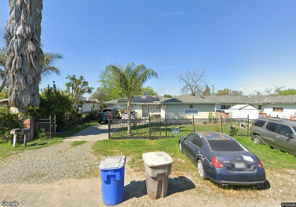
10039 Houston Ave Hanford, CA 93230
Estimated Value: $222,492 - $310,000
3
Beds
1
Bath
978
Sq Ft
$269/Sq Ft
Est. Value
About This Home
This home is located at 10039 Houston Ave, Hanford, CA 93230 and is currently estimated at $263,123, approximately $269 per square foot. 10039 Houston Ave is a home located in Kings County with nearby schools including Lakeside Elementary School, Hanford High School, and New Testament Baptist School.
Ownership History
Date
Name
Owned For
Owner Type
Purchase Details
Closed on
Nov 7, 2017
Sold by
Aguirre Rosa Maria
Bought by
Aguirre Rosa Maria and Aguirre Refugio Garza
Current Estimated Value
Purchase Details
Closed on
May 17, 1999
Sold by
Aguirre Refugio and Aguirre Rosa M
Bought by
Aguirre Rosa Maria
Home Financials for this Owner
Home Financials are based on the most recent Mortgage that was taken out on this home.
Original Mortgage
$21,185
Interest Rate
6.86%
Purchase Details
Closed on
Feb 4, 1999
Sold by
Aguirre Rosa Maria
Bought by
Aguirre Rosa Maria and Aguirre Refugio G
Create a Home Valuation Report for This Property
The Home Valuation Report is an in-depth analysis detailing your home's value as well as a comparison with similar homes in the area
Home Values in the Area
Average Home Value in this Area
Purchase History
| Date | Buyer | Sale Price | Title Company |
|---|---|---|---|
| Aguirre Rosa Maria | -- | None Available | |
| Aguirre Rosa Maria | -- | First American Title Co | |
| Aguirre Rosa Maria | -- | -- |
Source: Public Records
Mortgage History
| Date | Status | Borrower | Loan Amount |
|---|---|---|---|
| Closed | Aguirre Rosa Maria | $21,185 |
Source: Public Records
Tax History Compared to Growth
Tax History
| Year | Tax Paid | Tax Assessment Tax Assessment Total Assessment is a certain percentage of the fair market value that is determined by local assessors to be the total taxable value of land and additions on the property. | Land | Improvement |
|---|---|---|---|---|
| 2025 | $423 | $47,886 | $7,211 | $40,675 |
| 2023 | $423 | $46,029 | $6,932 | $39,097 |
| 2022 | $405 | $45,128 | $6,797 | $38,331 |
| 2021 | $395 | $44,244 | $6,664 | $37,580 |
| 2020 | $394 | $43,791 | $6,596 | $37,195 |
| 2019 | $389 | $42,933 | $6,467 | $36,466 |
| 2018 | $381 | $42,091 | $6,340 | $35,751 |
| 2017 | $371 | $41,266 | $6,216 | $35,050 |
| 2016 | $401 | $40,457 | $6,094 | $34,363 |
| 2015 | $396 | $39,849 | $6,002 | $33,847 |
| 2014 | $391 | $39,068 | $5,884 | $33,184 |
Source: Public Records
Map
Nearby Homes
- 11880 1st Place
- 11544 S 10th Ave
- 1936 S Red Rock Dr
- 10050 Camino Ramon
- 59 BR Samuel St
- 3948 13 1 4 Ave
- 53 BR Billingsley St
- 80 BR Samuel St
- 55 BR Billingsley St
- 82 BR Samuel St
- 0 Iona Ave Unit 235981
- 58 BR Samuel St
- 8886 Lilly Way
- 0 Unit MC25191909
- 79 BR Samuel St
- 56 BR Samuel St
- 81 BR Samuel St
- 83 BR Samuel St
- 54 BR Billingsley St
- 27 BR Billingsley St
- 10034 Houston Ave
- 10054 Houston Ave
- 10066 Houston Ave
- 10024 Houston Ave
- 10061 Heath St
- 10073 Heath St
- 10047 Heath St
- 10084 Houston Ave
- 10035 Heath St
- 10087 Heath St
- 10106 Houston Ave
- 10023 Heath St
- 10101 Heath St
- 10114 Houston Ave
- 10060 Heath St
- 10072 Heath St
- 11918 Chris Ln
- 10113 Heath St
- 10084 Heath St
- 11933 Chris Ln