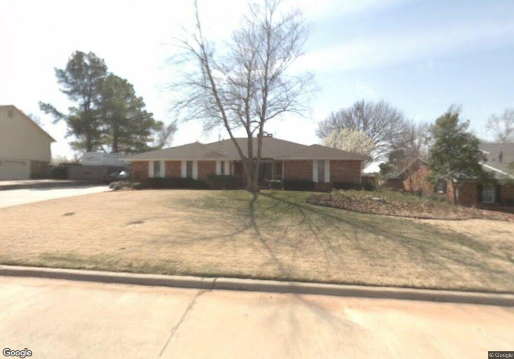
1004 Alpine Dr Duncan, OK 73533
Estimated Value: $247,000 - $312,000
3
Beds
3
Baths
2,472
Sq Ft
$110/Sq Ft
Est. Value
About This Home
This home is located at 1004 Alpine Dr, Duncan, OK 73533 and is currently estimated at $272,693, approximately $110 per square foot. 1004 Alpine Dr is a home located in Stephens County with nearby schools including Plato Elementary School, Duncan Middle School, and Duncan High School.
Ownership History
Date
Name
Owned For
Owner Type
Purchase Details
Closed on
May 12, 2022
Sold by
Savage Ronald E and Savage Deborah D
Bought by
Deborah D Savage Revocable Trust
Current Estimated Value
Purchase Details
Closed on
Feb 8, 2010
Sold by
Williams Kathy Jean and Williams Steven L
Bought by
Savage Ronald E and Savage Deborah D
Purchase Details
Closed on
Aug 16, 2009
Sold by
King Mary J Hudson
Bought by
Williams Kathy Jean
Create a Home Valuation Report for This Property
The Home Valuation Report is an in-depth analysis detailing your home's value as well as a comparison with similar homes in the area
Purchase History
| Date | Buyer | Sale Price | Title Company |
|---|---|---|---|
| Deborah D Savage Revocable Trust | -- | None Listed On Document | |
| Savage Ronald E | $165,000 | None Available | |
| Williams Kathy Jean | -- | None Available |
Source: Public Records
Tax History
| Year | Tax Paid | Tax Assessment Tax Assessment Total Assessment is a certain percentage of the fair market value that is determined by local assessors to be the total taxable value of land and additions on the property. | Land | Improvement |
|---|---|---|---|---|
| 2025 | $1,552 | $19,398 | $2,988 | $16,410 |
| 2024 | $1,472 | $18,285 | $2,817 | $15,468 |
| 2023 | $1,472 | $18,285 | $2,861 | $15,424 |
| 2022 | $1,380 | $17,752 | $2,697 | $15,055 |
| 2021 | $1,340 | $16,734 | $2,385 | $14,349 |
| 2020 | $1,401 | $17,229 | $2,385 | $14,844 |
| 2019 | $1,361 | $16,728 | $2,385 | $14,343 |
| 2018 | $1,357 | $16,240 | $2,385 | $13,855 |
| 2017 | $1,492 | $18,356 | $2,385 | $15,971 |
| 2016 | $1,448 | $18,038 | $2,385 | $15,653 |
| 2015 | $1,494 | $18,038 | $2,385 | $15,653 |
| 2014 | $1,494 | $18,038 | $2,385 | $15,653 |
Source: Public Records
Map
Nearby Homes
- 2106 Carolin Dr
- 0 Townsend St
- 2110 W Club Rd
- 2209 Sunset Dr
- 1108 W Plato Rd Unit 10
- 1108 W Plato Rd Unit 29
- 1108 1108 W Plato Unit 40
- 2306 Northridge Dr
- 2012 Park Dr
- 2201 W Club Rd
- 1706 Northridge Dr
- 1616 Northridge Dr
- 1606 Indian Terrace
- 2518 Wildwood Place
- 1527 N 13th St
- 1014 Oakview Dr
- 3495 N 5th St
- 1004 Ranchwood Place
- 2324 N 7th St
- 2702 Wildwood Place
- 1002 Alpine Dr
- 1006 Alpine Dr
- 2102 Carolin Dr
- 1007 Alpine Dr
- 1000 Alpine Dr
- 2102 Country Club Terrace
- 2102 Country Club Terrace
- 2104 Carolin Dr
- 1010 Alpine Dr
- 1001 Alpine Dr
- 2103 Carolin Dr
- 2065 2065 Country Club Rd
- 2104 Country Club Terrace
- 2106 2106 Carolin Dr
- 2105 Carolin Dr
- 2107 Country Club Terrace
- 2106 Country Club Terrace
- 2106 Country Club Terrace
- 2107 Carolin Dr
- 2108 Carolin Dr
Your Personal Tour Guide
Ask me questions while you tour the home.