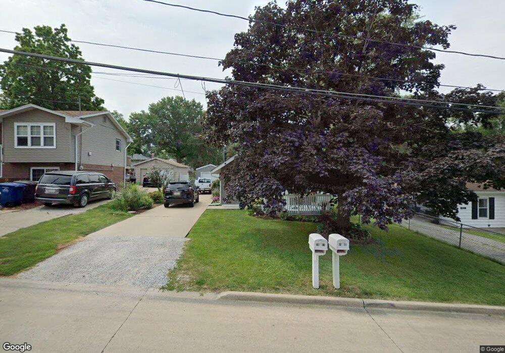
1004 Rittenhouse St Des Moines, IA 50315
Watrous South NeighborhoodEstimated Value: $150,000 - $206,000
1
Bed
1
Bath
1,008
Sq Ft
$174/Sq Ft
Est. Value
About This Home
This home is located at 1004 Rittenhouse St, Des Moines, IA 50315 and is currently estimated at $175,870, approximately $174 per square foot. 1004 Rittenhouse St is a home located in Polk County with nearby schools including Morris Elementary School, Mccombs Middle School, and Lincoln High School.
Ownership History
Date
Name
Owned For
Owner Type
Purchase Details
Closed on
May 19, 1999
Sold by
Bentz William Ray and Bentz Sherry Lee
Bought by
Dawson Anna Marie
Current Estimated Value
Home Financials for this Owner
Home Financials are based on the most recent Mortgage that was taken out on this home.
Original Mortgage
$53,920
Outstanding Balance
$13,874
Interest Rate
6.99%
Mortgage Type
FHA
Estimated Equity
$161,996
Create a Home Valuation Report for This Property
The Home Valuation Report is an in-depth analysis detailing your home's value as well as a comparison with similar homes in the area
Home Values in the Area
Average Home Value in this Area
Purchase History
| Date | Buyer | Sale Price | Title Company |
|---|---|---|---|
| Dawson Anna Marie | $52,500 | -- |
Source: Public Records
Mortgage History
| Date | Status | Borrower | Loan Amount |
|---|---|---|---|
| Open | Dawson Anna Marie | $53,920 |
Source: Public Records
Tax History
| Year | Tax Paid | Tax Assessment Tax Assessment Total Assessment is a certain percentage of the fair market value that is determined by local assessors to be the total taxable value of land and additions on the property. | Land | Improvement |
|---|---|---|---|---|
| 2025 | $2,696 | $168,000 | $28,300 | $139,700 |
| 2024 | $2,696 | $147,500 | $24,700 | $122,800 |
| 2023 | $2,528 | $147,500 | $24,700 | $122,800 |
| 2022 | $2,506 | $116,100 | $20,200 | $95,900 |
| 2021 | $2,266 | $116,100 | $20,200 | $95,900 |
| 2020 | $2,348 | $99,400 | $17,400 | $82,000 |
| 2019 | $2,162 | $99,400 | $17,400 | $82,000 |
| 2018 | $2,136 | $89,000 | $15,500 | $73,500 |
| 2017 | $2,072 | $89,000 | $15,500 | $73,500 |
| 2016 | $2,012 | $85,100 | $14,700 | $70,400 |
| 2015 | $2,012 | $85,100 | $14,700 | $70,400 |
| 2014 | $1,936 | $84,500 | $14,500 | $70,000 |
Source: Public Records
Map
Nearby Homes
- 1110 Johnson St
- 1208 Burnham Ave
- 1315 Johnson St
- 1225 West St
- 1352 Johnson St
- 7400 SW 12th St
- 7307 SW 13th St
- 1014 Leland Ave
- 6825 SW 15th St
- 1324 Army Post Rd
- 6912 SW 15th St
- 6824 SW 15th St
- 603 Lally St
- 6905 SW 16th St
- 1310 Leland Ave
- 7300 SW 15th St
- 6204 SW 5th St
- 7802 SW 10th Place
- 700 Payton Ave
- 6001 SW 13th Place
- 1010 Rittenhouse St
- 1002 Rittenhouse St
- 1020 Rittenhouse St
- 1008 Rittenhouse St
- 1023 Johnson St
- 1006 Rittenhouse St
- 1040 Rittenhouse St
- 1025 Johnson St
- 1005 Johnson St
- 1011 Rittenhouse St
- 1029 Johnson St
- 1009 Rittenhouse St
- 1015 Rittenhouse St
- 1005 Rittenhouse St
- 1035 Johnson St
- 6908 SW 10th St
- 1019 Rittenhouse St
- 6820 SW 10th St
- 1100 Rittenhouse St
- 1012 Burnham Ave
Your Personal Tour Guide
Ask me questions while you tour the home.