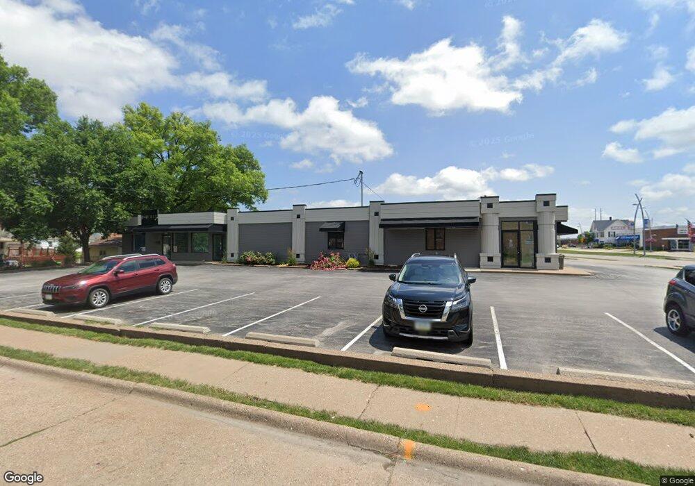
1004 State St Unit C Bettendorf, IA 52722
Downtown Bettendorf NeighborhoodEstimated Value: $605,521
Studio
--
Bath
4,814
Sq Ft
$126/Sq Ft
Est. Value
About This Home
This home is located at 1004 State St Unit C, Bettendorf, IA 52722 and is currently estimated at $605,521, approximately $125 per square foot. 1004 State St Unit C is a home located in Scott County with nearby schools including Bettendorf Middle School, Bettendorf High School, and Lourdes Catholic School.
Ownership History
Date
Name
Owned For
Owner Type
Purchase Details
Closed on
Aug 27, 2015
Sold by
Fussell Marvin L
Bought by
Dr T L C Healthcare Llc
Current Estimated Value
Purchase Details
Closed on
Jun 8, 2005
Sold by
Daj Real Estate Partnership
Bought by
T L C Healthcare L L C
Home Financials for this Owner
Home Financials are based on the most recent Mortgage that was taken out on this home.
Original Mortgage
$454,978
Interest Rate
5.87%
Mortgage Type
Commercial
Create a Home Valuation Report for This Property
The Home Valuation Report is an in-depth analysis detailing your home's value as well as a comparison with similar homes in the area
Home Values in the Area
Average Home Value in this Area
Purchase History
| Date | Buyer | Sale Price | Title Company |
|---|---|---|---|
| Dr T L C Healthcare Llc | -- | Attorney | |
| T L C Healthcare L L C | $342,500 | None Available |
Source: Public Records
Mortgage History
| Date | Status | Borrower | Loan Amount |
|---|---|---|---|
| Previous Owner | T L C Healthcare L L C | $454,978 |
Source: Public Records
Tax History
| Year | Tax Paid | Tax Assessment Tax Assessment Total Assessment is a certain percentage of the fair market value that is determined by local assessors to be the total taxable value of land and additions on the property. | Land | Improvement |
|---|---|---|---|---|
| 2025 | $14,850 | $508,800 | $87,900 | $420,900 |
| 2024 | $15,032 | $492,900 | $87,900 | $405,000 |
| 2023 | $11,656 | $492,900 | $87,900 | $405,000 |
| 2022 | $11,358 | $393,610 | $86,450 | $307,160 |
| 2021 | $11,358 | $393,610 | $86,450 | $307,160 |
| 2020 | $8,404 | $361,300 | $86,450 | $274,850 |
| 2019 | $8,994 | $397,140 | $72,050 | $325,090 |
| 2018 | $12,002 | $397,140 | $72,050 | $325,090 |
| 2017 | $3,574 | $397,140 | $72,050 | $325,090 |
| 2016 | $8,942 | $0 | $0 | $0 |
| 2015 | $8,942 | $0 | $0 | $0 |
| 2014 | $9,092 | $0 | $0 | $0 |
| 2013 | $11,062 | $0 | $0 | $0 |
| 2012 | -- | $352,580 | $79,250 | $273,330 |
Source: Public Records
Map
Nearby Homes
- 358 Madison Dr
- 817 Grant St
- 686 Jones St
- 5 Riverview Park Dr
- 1104 Kimberly Rd Unit 602
- 1104 Kimberly Rd Unit 603
- 1228 Coffelt Ave
- 1251 Kimberly Rd
- 204 Greenwood Ave
- 1224 14th St
- 60 Custer Terrace
- 1360 Kimberly Ridge Rd Unit 111
- 1611 Coffelt Ave
- 1360 Heights Ct
- 1350 Kimberly Ridge Rd Unit 310
- 1446 Lakewood Dr
- 1520 Parklane Dr
- 3015 E 18th St
- 3215 E Locust St Unit A1-4
- 3215 E Locust St Unit A2-23
- 1004 State St
- 1004 State St Unit Ste C
- 1004 State St Unit 2
- 1020 State St
- 327 10th St
- 1028 State St
- 1032 State St
- 924 State St
- 924-932 State St
- 943 State St
- 932 State St
- 340 10th St
- 1039 State St Unit 206
- 1039 State St Unit 202
- 1039 State St Unit 205
- 1039 State St Unit 207.5
- 1039 State St Unit 208
- 1039 State St Unit 207
- 1046 State St
- 1003 Grant St
Your Personal Tour Guide
Ask me questions while you tour the home.