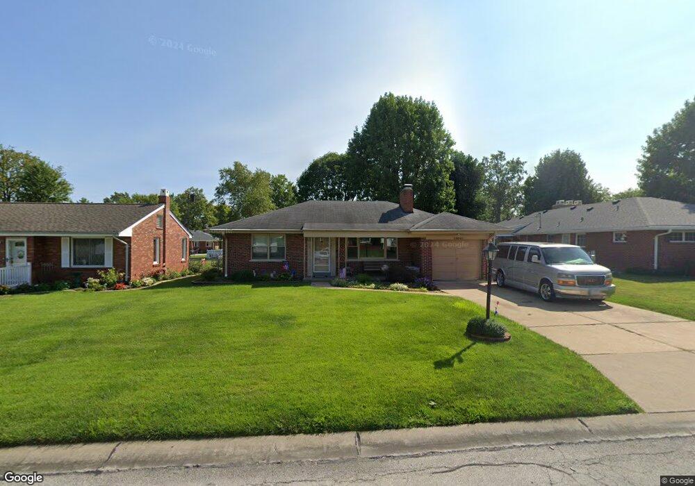
10046 Coventry Ln Saint Louis, MO 63123
Estimated Value: $250,000 - $270,000
2
Beds
2
Baths
1,382
Sq Ft
$191/Sq Ft
Est. Value
About This Home
This home is located at 10046 Coventry Ln, Saint Louis, MO 63123 and is currently estimated at $263,421, approximately $190 per square foot. 10046 Coventry Ln is a home located in St. Louis County with nearby schools including Mesnier Primary School, Gotsch Intermediate School, and Rogers Middle School.
Ownership History
Date
Name
Owned For
Owner Type
Purchase Details
Closed on
Sep 25, 1997
Sold by
Million David P and Million Carol A
Bought by
Million David P and Million Carol A
Current Estimated Value
Home Financials for this Owner
Home Financials are based on the most recent Mortgage that was taken out on this home.
Original Mortgage
$70,000
Interest Rate
7.25%
Create a Home Valuation Report for This Property
The Home Valuation Report is an in-depth analysis detailing your home's value as well as a comparison with similar homes in the area
Home Values in the Area
Average Home Value in this Area
Purchase History
| Date | Buyer | Sale Price | Title Company |
|---|---|---|---|
| Million David P | -- | -- |
Source: Public Records
Mortgage History
| Date | Status | Borrower | Loan Amount |
|---|---|---|---|
| Closed | Million David P | $70,000 |
Source: Public Records
Tax History Compared to Growth
Tax History
| Year | Tax Paid | Tax Assessment Tax Assessment Total Assessment is a certain percentage of the fair market value that is determined by local assessors to be the total taxable value of land and additions on the property. | Land | Improvement |
|---|---|---|---|---|
| 2025 | $3,202 | $39,920 | $13,890 | $26,030 |
| 2024 | $3,202 | $39,440 | $10,030 | $29,410 |
| 2023 | $3,096 | $39,440 | $10,030 | $29,410 |
| 2022 | $3,351 | $36,610 | $10,790 | $25,820 |
| 2021 | $3,058 | $36,610 | $10,790 | $25,820 |
| 2020 | $2,583 | $28,810 | $9,750 | $19,060 |
| 2019 | $2,578 | $28,810 | $9,750 | $19,060 |
| 2018 | $2,563 | $25,320 | $7,730 | $17,590 |
| 2017 | $2,547 | $25,320 | $7,730 | $17,590 |
| 2016 | $2,192 | $23,130 | $6,940 | $16,190 |
| 2015 | $2,201 | $23,130 | $6,940 | $16,190 |
| 2014 | $2,653 | $27,820 | $5,340 | $22,480 |
Source: Public Records
Map
Nearby Homes
- 8942 Eden Ave
- 9723 Crayford Rd Unit 1B
- 9740 Bexley Station Dr
- 9744 Bexley Station Dr Unit 8J
- 8736 New Hampshire Ave
- 9313 Brenda Ave
- 9347 Mackenzie Rd
- 9702 Sterling Place
- 6426 Judson Ave
- 3 Grantview Ln
- 10161 Squire Meadows Dr Unit E
- 10161 Squire Meadows Dr Unit C
- 7369 Whitehaven Dr
- 8613 Carriage Way Dr
- 9920 Casa Rosa Dr
- 8554 Palmetto Dr
- 8740 Brenda Ave
- 9405 Evandale Dr
- 9425 MacKenzie Circle Ct
- 9506 Sterling Place
- 10077 Affton Place
- 10042 Coventry Ln
- 10038 Coventry Ln
- 10047 Affton Place
- 10071 Affton Place
- 10041 Affton Place
- 10049 Coventry Ln
- 10034 Coventry Ln
- 10043 Coventry Ln
- 10057 Coventry Ln
- 10084 Affton Place
- 10076 Affton Place
- 10035 Affton Place
- 10037 Coventry Ln
- 10090 Affton Place
- 10070 Affton Place
- 10030 Coventry Ln
- 10063 Coventry Ln
- 10033 Coventry Ln
- 10029 Affton Place