1005 Brook Haven Dr Kaysville, UT 84037
Estimated Value: $538,000 - $671,000
5
Beds
4
Baths
3,757
Sq Ft
$157/Sq Ft
Est. Value
About This Home
This home is located at 1005 Brook Haven Dr, Kaysville, UT 84037 and is currently estimated at $588,954, approximately $156 per square foot. 1005 Brook Haven Dr is a home located in Davis County with nearby schools including H.C. Burton Elementary School, Kaysville Junior High School, and Davis High School.
Ownership History
Date
Name
Owned For
Owner Type
Purchase Details
Closed on
Oct 24, 2019
Sold by
Scott And Annette Cardon Llc
Bought by
Cardon Scott and Cardon Annette
Current Estimated Value
Purchase Details
Closed on
Mar 29, 2019
Sold by
Cardon Louis S
Bought by
Scott & Annette Cardon Llc
Purchase Details
Closed on
Feb 14, 2017
Sold by
Critchlow William J
Bought by
Cardon Louis S
Home Financials for this Owner
Home Financials are based on the most recent Mortgage that was taken out on this home.
Original Mortgage
$325,000
Interest Rate
4.2%
Mortgage Type
VA
Create a Home Valuation Report for This Property
The Home Valuation Report is an in-depth analysis detailing your home's value as well as a comparison with similar homes in the area
Home Values in the Area
Average Home Value in this Area
Purchase History
| Date | Buyer | Sale Price | Title Company |
|---|---|---|---|
| Cardon Scott | -- | None Available | |
| Scott & Annette Cardon Llc | -- | None Available | |
| Cardon Louis S | -- | Backman Title |
Source: Public Records
Mortgage History
| Date | Status | Borrower | Loan Amount |
|---|---|---|---|
| Previous Owner | Cardon Louis S | $325,000 |
Source: Public Records
Tax History Compared to Growth
Tax History
| Year | Tax Paid | Tax Assessment Tax Assessment Total Assessment is a certain percentage of the fair market value that is determined by local assessors to be the total taxable value of land and additions on the property. | Land | Improvement |
|---|---|---|---|---|
| 2024 | $1,872 | $288,750 | $63,250 | $225,500 |
| 2023 | $1,872 | $524,000 | $120,000 | $404,000 |
| 2022 | $2,188 | $299,200 | $56,650 | $242,550 |
| 2021 | $2,017 | $417,000 | $83,700 | $333,300 |
| 2020 | $1,813 | $376,000 | $82,100 | $293,900 |
| 2019 | $2,304 | $346,000 | $66,000 | $280,000 |
| 2018 | $1,478 | $316,000 | $30,000 | $286,000 |
| 2016 | $1,865 | $146,740 | $37,400 | $109,340 |
| 2015 | $1,837 | $137,280 | $20,900 | $116,380 |
| 2014 | $1,736 | $132,065 | $20,900 | $111,165 |
| 2013 | -- | $139,090 | $20,900 | $118,190 |
Source: Public Records
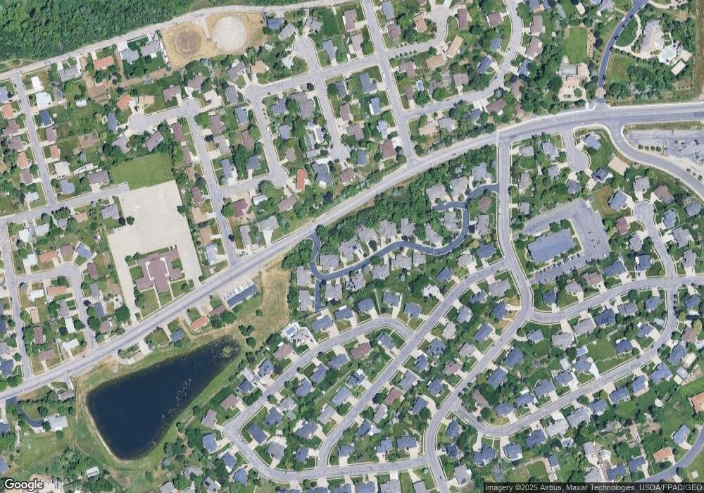
Map
Nearby Homes
- 380 N 1000 E
- 289 N 700 E
- 636 E 100 N
- 1779 250 N Unit 29-R
- 1730 250 N Unit 23-R
- 1616 250 N Unit 26-R
- 1306 N Thornfield Rd
- 947 E Green Rd
- 272 Pin Oak Ln
- 1425 250 N
- 1365 E Oakmont Ln
- 1370 Oakmont Ln
- 862 N Ellison Rd Unit 20
- 890 E Brookshire Dr
- 952 N Kingswood Rd
- 1347 E 650 N Unit 1
- 425 E 500 N
- 1093 N Bedford Dr
- 1236 E 100 S
- 285 E 500 N
- 997 Brook Haven Dr
- 1015 Brook Haven Dr
- 985 Brook Haven Dr
- 979 Brook Haven Dr
- 1008 Brook Haven Dr
- 1020 Brook Haven Dr
- 1025 Brook Haven Dr
- 1002 Brook Haven Dr
- 1002 Brook Haven Dr Unit 28
- 1028 Brook Haven Dr Unit 31
- 1033 Brook Haven Dr
- 990 Brook Haven Dr
- 980 Brook Haven Dr
- 1040 Brook Haven Dr
- 960 Brook Haven Dr
- 1043 Brook Haven Dr Unit 13
- 955 Old Farm Rd
- 1048 Brook Haven Dr
- 161 Haven Ct
- 151 Haven Ct