1005 Guy Collins Rd Morristown, TN 37813
Estimated Value: $436,000
--
Bed
2
Baths
2,629
Sq Ft
$166/Sq Ft
Est. Value
About This Home
This home is located at 1005 Guy Collins Rd, Morristown, TN 37813 and is currently priced at $436,000, approximately $165 per square foot. 1005 Guy Collins Rd is a home located in Hamblen County with nearby schools including Witt Elementary School, Lincoln Heights Middle School, and Morristown West High School.
Ownership History
Date
Name
Owned For
Owner Type
Purchase Details
Closed on
Feb 14, 2024
Sold by
Lakeway Landco Llc
Bought by
Hamblen County-Morristown Solid Waste Disposa
Current Estimated Value
Purchase Details
Closed on
Mar 20, 2013
Sold by
Mcguffin Enterprises Lp
Bought by
Lakeway Landco Llc
Purchase Details
Closed on
Apr 22, 1996
Bought by
Pinkstaff K Ray Trustee
Purchase Details
Closed on
May 15, 1981
Bought by
Branch Floyd
Purchase Details
Closed on
Jan 10, 1970
Create a Home Valuation Report for This Property
The Home Valuation Report is an in-depth analysis detailing your home's value as well as a comparison with similar homes in the area
Home Values in the Area
Average Home Value in this Area
Purchase History
| Date | Buyer | Sale Price | Title Company |
|---|---|---|---|
| Hamblen County-Morristown Solid Waste Disposa | -- | None Listed On Document | |
| Lakeway Landco Llc | -- | -- | |
| Lakeway Landco Llc | -- | -- | |
| Pinkstaff K Ray Trustee | $647,600 | -- | |
| Branch Floyd | -- | -- | |
| -- | -- | -- |
Source: Public Records
Tax History Compared to Growth
Tax History
| Year | Tax Paid | Tax Assessment Tax Assessment Total Assessment is a certain percentage of the fair market value that is determined by local assessors to be the total taxable value of land and additions on the property. | Land | Improvement |
|---|---|---|---|---|
| 2024 | $1,851 | $93,975 | $93,975 | -- |
| 2023 | $1,851 | $93,975 | $0 | $0 |
| 2022 | $1,851 | $93,975 | $93,975 | $0 |
| 2021 | $1,851 | $93,975 | $93,975 | $0 |
| 2020 | $1,851 | $93,975 | $93,975 | $0 |
| 2019 | $1,636 | $76,825 | $76,825 | $0 |
| 2018 | $1,636 | $76,825 | $76,825 | $0 |
| 2017 | $1,636 | $76,825 | $76,825 | $0 |
| 2016 | $4,162 | $76,825 | $76,825 | $0 |
| 2015 | $3,869 | $209,150 | $181,425 | $27,725 |
| 2014 | -- | $209,150 | $181,425 | $27,725 |
| 2013 | -- | $222,700 | $0 | $0 |
Source: Public Records
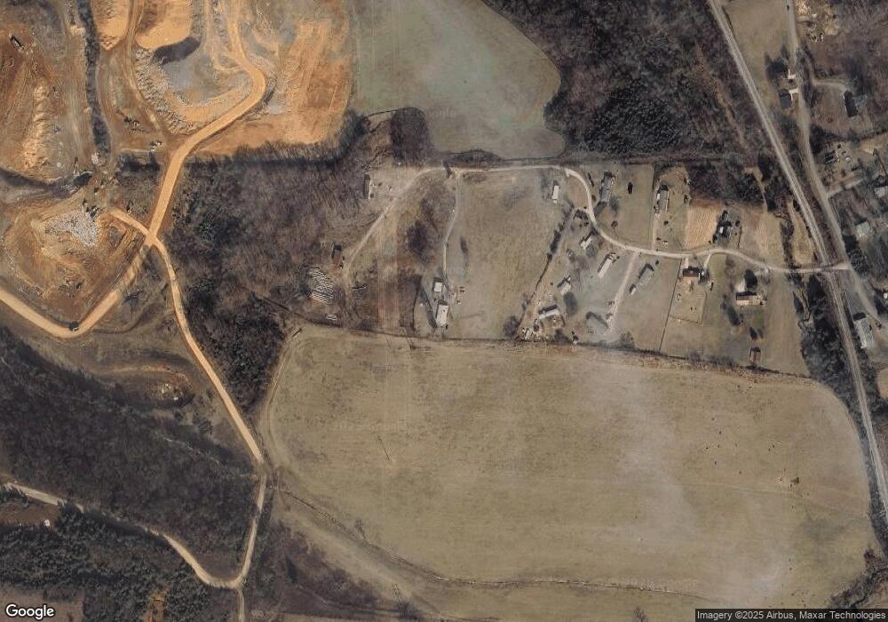
Map
Nearby Homes
- 3520 Sublett Rd
- 453 Statem Gap Rd
- 2895 Coffey Rd
- 2262 Fernwood Church Rd
- 1500 S Davy Crockett Pkwy
- 1160 Statem Gap Rd
- 848 Spencer Hale Rd
- 1418 Mae Collins Rd
- 5474 Saint Paul Rd
- 5056 Spencer Hale Rd
- 1051 Wilson Hale Rd
- 3017 Hardy Rd
- 5704 Long Creek Rd
- 4996 Saint Paul Rd
- 305-365 Barkley Landing Dr
- 0 Old White Pine Rd
- 2018 Southwood Cir
- 1049 Greenway Dr
- Darwin Plan at Southwood
- Robie Plan at Southwood
- 902 Guy Collins Rd
- 979 Guy Collins Rd
- 889 Guy Collins Rd
- 920 Guy Collins Rd
- 869 Guy Collins Rd
- 874 Guy Collins Rd
- 819 Guy Collins Rd
- 815 Guy Collins Rd
- 1053 Old Witt Rd
- 1071 Old Witt Rd
- 1027 Old Witt Rd
- 00 Old Witt Rd
- 000 Old Witt Rd
- 0 Old Witt Rd
- 696 Ailshie Rd
- 697 Ailshie Rd
- 1081 Old Witt Rd
- 1091 Old Witt Rd
- 1007 Old Witt Rd
- 691 Ailshie Rd