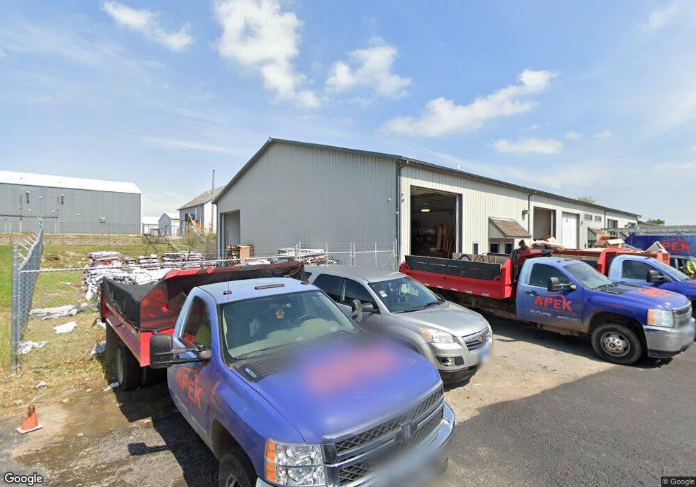
1005 Industry Rd New Lenox, IL 60451
--
Bed
--
Bath
--
Sq Ft
1,742
Sq Ft Lot
About This Home
This home is located at 1005 Industry Rd, New Lenox, IL 60451. 1005 Industry Rd is a home located in Will County with nearby schools including Bentley Elementary School, Arnold J Tyler School, and Alex M Martino Jr High School.
Ownership History
Date
Name
Owned For
Owner Type
Purchase Details
Closed on
Mar 9, 2020
Sold by
Richards James and Konior Carl
Bought by
Joe-Ann Living Trust and Richards
Purchase Details
Closed on
Jan 24, 2014
Sold by
Bslb Llc
Bought by
Richards James and Konior Carl
Home Financials for this Owner
Home Financials are based on the most recent Mortgage that was taken out on this home.
Original Mortgage
$185,625
Interest Rate
4.49%
Mortgage Type
Construction
Purchase Details
Closed on
Mar 28, 2013
Sold by
Pinto Nick G and Pinto Posa A
Bought by
State Bank Of Countryside
Create a Home Valuation Report for This Property
The Home Valuation Report is an in-depth analysis detailing your home's value as well as a comparison with similar homes in the area
Home Values in the Area
Average Home Value in this Area
Purchase History
| Date | Buyer | Sale Price | Title Company |
|---|---|---|---|
| Joe-Ann Living Trust | -- | None Listed On Document | |
| Richards James | $247,500 | Prairie Title Services | |
| State Bank Of Countryside | -- | None Available |
Source: Public Records
Mortgage History
| Date | Status | Borrower | Loan Amount |
|---|---|---|---|
| Previous Owner | Richards James | $185,625 |
Source: Public Records
Tax History Compared to Growth
Tax History
| Year | Tax Paid | Tax Assessment Tax Assessment Total Assessment is a certain percentage of the fair market value that is determined by local assessors to be the total taxable value of land and additions on the property. | Land | Improvement |
|---|---|---|---|---|
| 2024 | $1,533 | $19,591 | $2,118 | $17,473 |
| 2023 | $1,533 | $19,591 | $2,118 | $17,473 |
| 2022 | $1,627 | $19,510 | $2,037 | $17,473 |
| 2021 | $1,649 | $19,510 | $2,037 | $17,473 |
| 2020 | $1,664 | $19,510 | $2,037 | $17,473 |
| 2019 | $1,646 | $19,510 | $2,037 | $17,473 |
| 2018 | $1,669 | $19,510 | $2,037 | $17,473 |
| 2017 | $1,634 | $19,510 | $2,037 | $17,473 |
| 2016 | $1,632 | $19,510 | $2,037 | $17,473 |
| 2015 | $1,658 | $19,510 | $2,037 | $17,473 |
| 2014 | $1,658 | $19,510 | $2,037 | $17,473 |
| 2013 | $1,658 | $19,510 | $2,037 | $17,473 |
Source: Public Records
Map
Nearby Homes
- 920 Barnside Rd
- 1000 S Cedar Rd
- 203 Tonell Ave
- 329 Hancock Dr
- 00 NE Corner Cherry Hill Road and Moss Lane Rd
- LOT 8 W Laraway Rd
- 13255 W Laraway Rd
- 1990 Edgeview Dr
- 1981 Stapleton Rd
- 604 Ogden Rd
- 117 Walona Ave
- 328 E Lincoln Hwy
- 805 Regent St
- 911 Canongate Ln
- 315 S Pine St
- 400 W Joliet Hwy
- 14620 W Laraway Rd
- 2067 Edgeview Dr
- 575 Caledonia Dr
- 1017 E Lincoln Hwy
- 14025 W Illinois Hwy
- 14027 W Illinois Hwy
- 13955 W Illinois Hwy Unit 2
- 13955 W Illinois Hwy Unit 12
- 13955 W Illinois Hwy Unit 1
- 13955 W Illinois Hwy
- 1027 Industry Rd
- 1031 Industry Rd
- 13957 W Illinois Hwy Unit 2
- 13957 W Illinois Hwy Unit 5
- 13957 W Illinois Hwy Unit 4
- 13957 W Illinois Hwy Unit 1
- 13957 W Illinois Hwy
- 538 E Illinois Hwy Unit C
- 538 E Illinois Hwy Unit D
- 538 E Illinois Hwy
- 538 E Illinois Hwy Unit B
- 1039 Industry Rd Unit 2
- 1039 Industry Rd
- 1041 Industry Rd