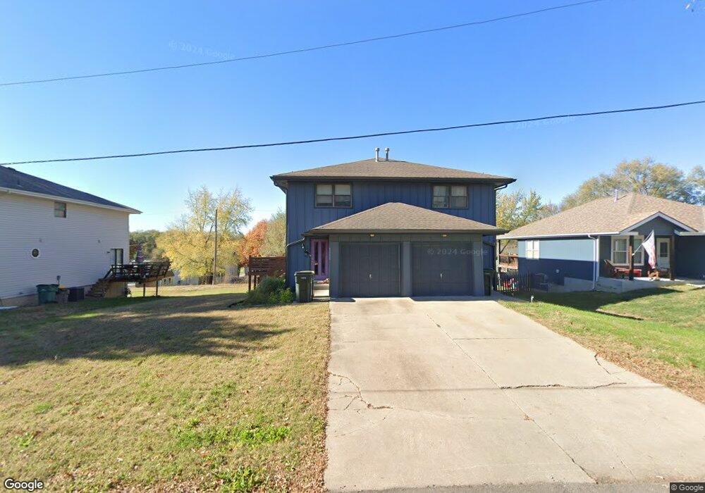
1005 N 4th St Lansing, KS 66043
Estimated Value: $235,000 - $252,000
4
Beds
4
Baths
2,288
Sq Ft
$107/Sq Ft
Est. Value
About This Home
This home is located at 1005 N 4th St, Lansing, KS 66043 and is currently estimated at $245,266, approximately $107 per square foot. 1005 N 4th St is a home located in Leavenworth County with nearby schools including Lansing Elementary School, Lansing Middle 6-8, and Lansing High 9-12.
Ownership History
Date
Name
Owned For
Owner Type
Purchase Details
Closed on
Aug 28, 2023
Sold by
Householder Charles V
Bought by
Robinson Tonja G
Current Estimated Value
Purchase Details
Closed on
Jul 14, 2021
Sold by
Larkin Florence M
Bought by
Householder Charles V and Robinson Tonja G
Home Financials for this Owner
Home Financials are based on the most recent Mortgage that was taken out on this home.
Original Mortgage
$90,000
Interest Rate
2.8%
Mortgage Type
New Conventional
Purchase Details
Closed on
May 1, 1999
Bought by
Householder Charles V and Robinson Tonja G
Create a Home Valuation Report for This Property
The Home Valuation Report is an in-depth analysis detailing your home's value as well as a comparison with similar homes in the area
Home Values in the Area
Average Home Value in this Area
Purchase History
| Date | Buyer | Sale Price | Title Company |
|---|---|---|---|
| Robinson Tonja G | -- | None Listed On Document | |
| Householder Charles V | $119,700 | Armstrong Teasdale Llp | |
| Householder Charles V | $102,300 | -- |
Source: Public Records
Mortgage History
| Date | Status | Borrower | Loan Amount |
|---|---|---|---|
| Previous Owner | Householder Charles V | $90,000 |
Source: Public Records
Tax History Compared to Growth
Tax History
| Year | Tax Paid | Tax Assessment Tax Assessment Total Assessment is a certain percentage of the fair market value that is determined by local assessors to be the total taxable value of land and additions on the property. | Land | Improvement |
|---|---|---|---|---|
| 2025 | $2,815 | $22,973 | $1,904 | $21,069 |
| 2024 | $2,640 | $21,470 | $1,904 | $19,566 |
| 2023 | $2,640 | $20,645 | $1,801 | $18,844 |
| 2022 | $2,539 | $18,768 | $1,587 | $17,181 |
| 2021 | $1,997 | $14,042 | $1,587 | $12,455 |
| 2020 | $1,905 | $13,191 | $1,587 | $11,604 |
| 2019 | $1,908 | $13,191 | $1,587 | $11,604 |
| 2018 | $1,866 | $12,915 | $1,587 | $11,328 |
| 2017 | $1,814 | $12,538 | $1,587 | $10,951 |
| 2016 | $1,867 | $12,414 | $1,587 | $10,827 |
| 2015 | $1,865 | $12,913 | $1,587 | $11,326 |
| 2014 | $1,830 | $12,938 | $1,587 | $11,351 |
Source: Public Records
Map
Nearby Homes
- 1100 N 4th St
- 1102 N 4th St
- 1102 N Main St
- 603 E Beth St
- 4 Eisenhower Rd
- 601 E Eisenhower Rd
- 268 Holiday Dr
- 129 Brookwood St
- 415 Fairlane St
- 129 Crestview Ct
- 218 Oak Hill St
- 20958 Ida St
- 310 E Kansas Ave
- 542 Creekside Ct
- 610 Meadowlark Rd
- 124 S Main St
- 202 S Main St
- 218 E Kay St
- 306 E Kay St
- 728 Eisenhower Rd