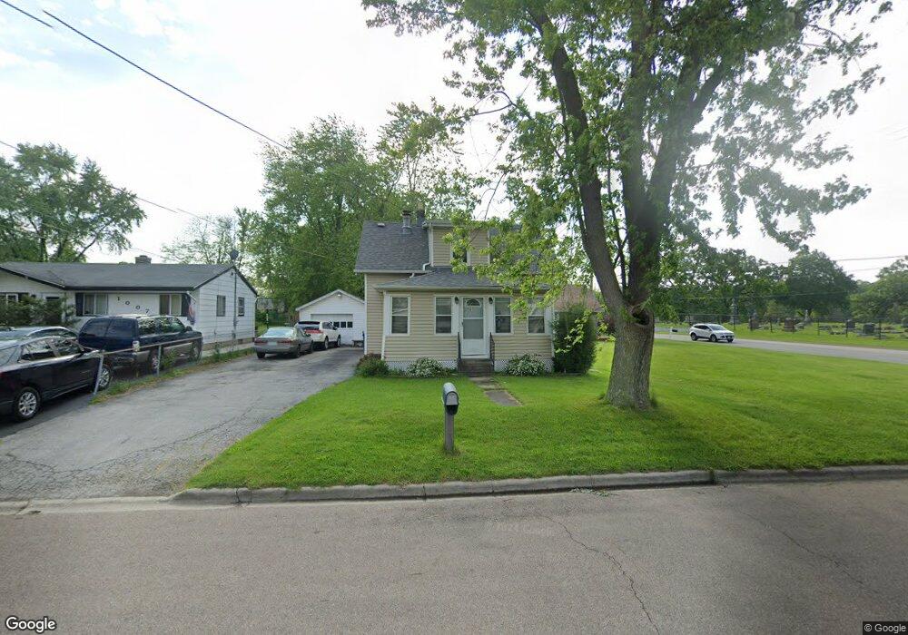
1005 Peterson Ave Aurora, IL 60505
Southeast Aurora NeighborhoodEstimated Value: $188,000 - $236,000
--
Bed
--
Bath
1,068
Sq Ft
$199/Sq Ft
Est. Value
About This Home
This home is located at 1005 Peterson Ave, Aurora, IL 60505 and is currently estimated at $212,492, approximately $198 per square foot. 1005 Peterson Ave is a home located in Kane County with nearby schools including R.E. Krug Elementary School, K D Waldo Middle School, and East Aurora High School.
Ownership History
Date
Name
Owned For
Owner Type
Purchase Details
Closed on
Oct 29, 1999
Sold by
Baum Mark A and Baum Karen A
Bought by
Ochoa Julio and Corral Estela
Current Estimated Value
Home Financials for this Owner
Home Financials are based on the most recent Mortgage that was taken out on this home.
Original Mortgage
$84,750
Outstanding Balance
$26,131
Interest Rate
7.88%
Mortgage Type
FHA
Estimated Equity
$186,362
Purchase Details
Closed on
May 11, 1996
Sold by
Thomas Sarene C and Yamanaka Sarene C
Bought by
Baum Mark A
Create a Home Valuation Report for This Property
The Home Valuation Report is an in-depth analysis detailing your home's value as well as a comparison with similar homes in the area
Home Values in the Area
Average Home Value in this Area
Purchase History
| Date | Buyer | Sale Price | Title Company |
|---|---|---|---|
| Ochoa Julio | $85,000 | Law Title Insurance Co Inc | |
| Baum Mark A | -- | Law Title Insurance Co Inc |
Source: Public Records
Mortgage History
| Date | Status | Borrower | Loan Amount |
|---|---|---|---|
| Open | Ochoa Julio | $84,750 |
Source: Public Records
Tax History Compared to Growth
Tax History
| Year | Tax Paid | Tax Assessment Tax Assessment Total Assessment is a certain percentage of the fair market value that is determined by local assessors to be the total taxable value of land and additions on the property. | Land | Improvement |
|---|---|---|---|---|
| 2024 | $3,137 | $45,761 | $8,611 | $37,150 |
| 2023 | $3,055 | $40,887 | $7,694 | $33,193 |
| 2022 | $2,834 | $37,306 | $7,020 | $30,286 |
| 2021 | $2,804 | $34,733 | $6,536 | $28,197 |
| 2020 | $2,683 | $32,262 | $6,071 | $26,191 |
| 2019 | $2,634 | $29,892 | $5,625 | $24,267 |
| 2018 | $2,980 | $32,725 | $5,203 | $27,522 |
| 2017 | $2,913 | $29,707 | $4,794 | $24,913 |
| 2016 | $2,719 | $25,838 | $4,109 | $21,729 |
| 2015 | -- | $22,413 | $3,533 | $18,880 |
| 2014 | -- | $21,405 | $3,247 | $18,158 |
| 2013 | -- | $22,541 | $3,266 | $19,275 |
Source: Public Records
Map
Nearby Homes
- Lot 1 Douglas Ave
- 962 Oliver Ave
- 735 Sexton St
- 820 Oliver Ave
- 847 Oliver Ave
- 815 Oliver Ave
- 1022 Sard Ave
- 721 S River St
- 1026 S 4th St
- 709 S River St
- 574 S Lasalle St
- 713 S 4th St
- 421 Simms St
- 1336 Douglas Ave Unit 13
- 633-635 S 4th St
- 1342 Oak Ridge Ln
- 506 S Lasalle St
- 417 Marion Ave
- 170 Montgomery Rd
- 1422 Manning Ave
- 1007 Peterson Ave
- 215 Ashland Ave
- 1011 Peterson Ave
- 1017 Peterson Ave
- 1002 S Lincoln Ave
- 1021 Peterson Ave
- 1008 S Lincoln Ave
- 221 Ashland Ave
- 1012 S Lincoln Ave
- 1008 Peterson Ave
- 1012 Peterson Ave
- 1016 S Lincoln Ave
- 1016 Peterson Ave
- 1025 Peterson Ave
- 227 Ashland Ave
- 1018 Peterson Ave
- 1020 S Lincoln Ave
- 1024 Peterson Ave
- 233 Ashland Ave
- 1028 Peterson Ave