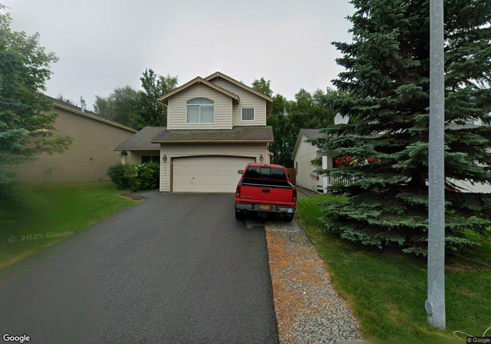
10050 Skiff Cir Anchorage, AK 99515
Bayshore-Klatt NeighborhoodEstimated Value: $443,000 - $520,000
3
Beds
3
Baths
1,850
Sq Ft
$267/Sq Ft
Est. Value
About This Home
This home is located at 10050 Skiff Cir, Anchorage, AK 99515 and is currently estimated at $493,201, approximately $266 per square foot. 10050 Skiff Cir is a home located in Anchorage Municipality with nearby schools including Bayshore Elementary School, Mears Middle School, and Dimond High School.
Ownership History
Date
Name
Owned For
Owner Type
Purchase Details
Closed on
Oct 30, 2000
Sold by
Thomas Company Inc
Bought by
Lopez Richard R and Lopez Yolanda S
Current Estimated Value
Home Financials for this Owner
Home Financials are based on the most recent Mortgage that was taken out on this home.
Original Mortgage
$124,900
Outstanding Balance
$46,056
Interest Rate
7.89%
Mortgage Type
New Conventional
Estimated Equity
$447,145
Create a Home Valuation Report for This Property
The Home Valuation Report is an in-depth analysis detailing your home's value as well as a comparison with similar homes in the area
Home Values in the Area
Average Home Value in this Area
Purchase History
| Date | Buyer | Sale Price | Title Company |
|---|---|---|---|
| Lopez Richard R | -- | -- |
Source: Public Records
Mortgage History
| Date | Status | Borrower | Loan Amount |
|---|---|---|---|
| Open | Lopez Richard R | $124,900 |
Source: Public Records
Tax History Compared to Growth
Tax History
| Year | Tax Paid | Tax Assessment Tax Assessment Total Assessment is a certain percentage of the fair market value that is determined by local assessors to be the total taxable value of land and additions on the property. | Land | Improvement |
|---|---|---|---|---|
| 2025 | $3,962 | $506,600 | $112,100 | $394,500 |
| 2024 | $3,962 | $470,400 | $99,200 | $371,200 |
| 2023 | $3,380 | $423,500 | $94,500 | $329,000 |
| 2022 | $3,627 | $415,400 | $94,500 | $320,900 |
| 2021 | $6,853 | $380,300 | $94,500 | $285,800 |
| 2020 | $2,902 | $371,900 | $94,500 | $277,400 |
| 2019 | $2,873 | $375,600 | $94,500 | $281,100 |
| 2018 | $2,708 | $365,100 | $94,500 | $270,600 |
| 2017 | $2,986 | $360,700 | $94,500 | $266,200 |
| 2016 | $2,462 | $360,000 | $94,500 | $265,500 |
| 2015 | $2,462 | $355,100 | $94,500 | $260,600 |
| 2014 | $2,462 | $343,100 | $94,500 | $248,600 |
Source: Public Records
Map
Nearby Homes
- 2459 Harbor Landing Cir
- 2301 Harbor Landing Cir
- 3101 Bettles Bay Loop
- 2350 Ariel Cir
- L6 B8 Spartan Dr
- 3008 Eaglek Bay Cir
- L5 B8 Spartan Dr
- 9630 Arlene Dr
- 2751 Pelican Dr
- 10205 Goodnews Cir
- 2741 Kingfisher Dr
- 2356 Leander Cir
- 2923 Kingfisher Dr
- 10637 Washington Cir
- 2059 Stonegate Cir
- 2560 Curlew Cir Unit 2
- 2101 Revere Cir
- 2100 Minerva Way Unit A17
- 3211 Amber Bay Loop
- 2542 Curlew Cir Unit 5
- 10070 Skiff Cir
- 10040 Skiff Cir
- 10060 Skiff Cir
- 10102 Skiff Cir
- 10030 Skiff Cir
- L7 B2 Skiff
- L15 B2 Skiff Cir
- L13 B2 Skiff Cir
- 10112 Skiff Cir
- 10020 Skiff Cir
- 10051 Skiff Cir
- 10041 Skiff Cir
- 10031 Skiff Cir
- 10021 Skiff Cir
- 10143 Skiff Cir
- 10122 Skiff Cir
- 10010 Skiff Cir
- 10000 Skiff Cir
- 10011 Skiff Cir
- 10142 Skiff Cir