Estimated Value: $261,000 - $370,409
3
Beds
1
Bath
1,946
Sq Ft
$155/Sq Ft
Est. Value
About This Home
This home is located at 10052 S 68th Ave E, Sully, IA 50251 and is currently estimated at $302,136, approximately $155 per square foot. 10052 S 68th Ave E is a home located in Jasper County with nearby schools including Lynnville-Sully Elementary School, Lynnville-Sully Middle School, and Lynnville-Sully High School.
Ownership History
Date
Name
Owned For
Owner Type
Purchase Details
Closed on
Dec 10, 2025
Sold by
Eaton Jody Lynn and Thelma M Jones Trust
Bought by
Norman Cynthia K
Current Estimated Value
Purchase Details
Closed on
Apr 29, 2010
Sold by
Waters Norma Jean
Bought by
Norman Jared D and Norman Tiffany R
Purchase Details
Closed on
Sep 7, 2006
Sold by
Buck Creek Farms Partnership Llp
Bought by
Norman Myron H and Norman Cindy K
Home Financials for this Owner
Home Financials are based on the most recent Mortgage that was taken out on this home.
Original Mortgage
$35,000
Interest Rate
6.77%
Mortgage Type
Purchase Money Mortgage
Create a Home Valuation Report for This Property
The Home Valuation Report is an in-depth analysis detailing your home's value as well as a comparison with similar homes in the area
Purchase History
| Date | Buyer | Sale Price | Title Company |
|---|---|---|---|
| Norman Cynthia K | -- | None Listed On Document | |
| Norman Jared D | $50,000 | None Available | |
| Norman Myron H | $35,000 | None Available |
Source: Public Records
Mortgage History
| Date | Status | Borrower | Loan Amount |
|---|---|---|---|
| Previous Owner | Norman Myron H | $35,000 |
Source: Public Records
Tax History
| Year | Tax Paid | Tax Assessment Tax Assessment Total Assessment is a certain percentage of the fair market value that is determined by local assessors to be the total taxable value of land and additions on the property. | Land | Improvement |
|---|---|---|---|---|
| 2025 | $2,922 | $259,610 | $90,850 | $168,760 |
| 2024 | $2,922 | $221,060 | $70,230 | $150,830 |
| 2023 | $2,848 | $221,060 | $70,230 | $150,830 |
| 2022 | $2,470 | $164,490 | $52,590 | $111,900 |
| 2021 | $2,374 | $155,550 | $52,590 | $102,960 |
| 2020 | $2,374 | $148,240 | $54,140 | $94,100 |
| 2019 | $2,212 | $152,190 | $0 | $0 |
| 2018 | $2,212 | $152,190 | $0 | $0 |
| 2017 | $2,156 | $156,610 | $0 | $0 |
| 2016 | $2,124 | $156,610 | $0 | $0 |
| 2015 | $2,098 | $157,860 | $0 | $0 |
| 2014 | $2,038 | $157,860 | $0 | $0 |
Source: Public Records
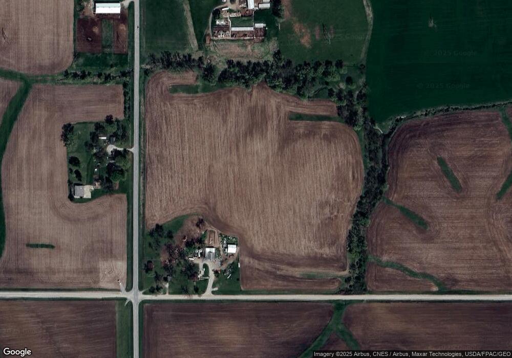
Map
Nearby Homes
- 6657 E 78th St S
- 5122 E 84th St S
- 11790 Highway F62 E
- Parcel B None
- 705 N 2nd St
- 205 N 8th Ave
- 202 8th Ave
- 707 4th St
- 702 10th Ave
- 7404 Sioux Ave
- 4683 Legion St Unit ST80
- 13590 Highway F 62 None E
- 8782 Highway 6 None E
- 504 Cross St
- 207 East St
- 13214 S 112th Ave E
- 320 3rd St
- 700 Highway T38 S
- 507 Main St
- 7340 E 156th St S
- 10052 S 68th Ave E
- 6511 Highway T22 S
- 9969 North St
- 9969 North St
- 9953 North St
- 9933 North St
- 9915 North St
- 9988 Level Ave
- 9940 Level Ave
- 9914 Level Ave
- 9932 Level Ave
- 7167 East St
- 9969 Level Ave
- 9953 Level Ave
- 9939 Level Ave
- 7225 Highway T 22 S
- 7233 Highway T22 S
- 7233 Highway T 22 S
- 7206 West St
- 7204 Railroad St
Your Personal Tour Guide
Ask me questions while you tour the home.