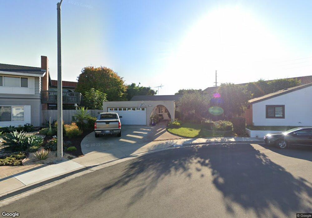
10052 Starboard Cir Huntington Beach, CA 92646
Southeast NeighborhoodEstimated Value: $1,188,000 - $1,361,000
3
Beds
2
Baths
1,316
Sq Ft
$957/Sq Ft
Est. Value
About This Home
This home is located at 10052 Starboard Cir, Huntington Beach, CA 92646 and is currently estimated at $1,260,035, approximately $957 per square foot. 10052 Starboard Cir is a home located in Orange County with nearby schools including Ralph E. Hawes Elementary School, Isaac L. Sowers Middle School, and Edison High School.
Ownership History
Date
Name
Owned For
Owner Type
Purchase Details
Closed on
Jul 9, 2003
Sold by
Canning Richard M and Canning Lynda T
Bought by
Canning Richard M and Canning Lynda T
Current Estimated Value
Purchase Details
Closed on
Sep 10, 1998
Sold by
Richard Canning and Richard Lynda T
Bought by
Canning Richard M and Canning Lynda T
Purchase Details
Closed on
Dec 12, 1994
Sold by
Faillace Robert A and Faillace Karen M
Bought by
Canning Richard M and Ford Lynda T
Purchase Details
Closed on
Oct 7, 1993
Sold by
Kloos John A and Kloos Margaret M
Bought by
Canning Richard M and Ford Lynda T
Home Financials for this Owner
Home Financials are based on the most recent Mortgage that was taken out on this home.
Original Mortgage
$168,000
Interest Rate
6.85%
Create a Home Valuation Report for This Property
The Home Valuation Report is an in-depth analysis detailing your home's value as well as a comparison with similar homes in the area
Home Values in the Area
Average Home Value in this Area
Purchase History
| Date | Buyer | Sale Price | Title Company |
|---|---|---|---|
| Canning Richard M | -- | -- | |
| Canning Richard M | -- | North American Title Co | |
| Canning Richard M | -- | North American Title Company | |
| Canning Richard M | $232,000 | Orange Coast Title Company |
Source: Public Records
Mortgage History
| Date | Status | Borrower | Loan Amount |
|---|---|---|---|
| Previous Owner | Canning Richard M | $168,000 |
Source: Public Records
Tax History Compared to Growth
Tax History
| Year | Tax Paid | Tax Assessment Tax Assessment Total Assessment is a certain percentage of the fair market value that is determined by local assessors to be the total taxable value of land and additions on the property. | Land | Improvement |
|---|---|---|---|---|
| 2025 | $4,569 | $393,549 | $291,034 | $102,515 |
| 2024 | $4,569 | $385,833 | $285,328 | $100,505 |
| 2023 | $4,463 | $378,268 | $279,733 | $98,535 |
| 2022 | $4,344 | $370,851 | $274,248 | $96,603 |
| 2021 | $4,263 | $363,580 | $268,871 | $94,709 |
| 2020 | $4,234 | $359,852 | $266,114 | $93,738 |
| 2019 | $4,185 | $352,797 | $260,897 | $91,900 |
| 2018 | $4,119 | $345,880 | $255,781 | $90,099 |
| 2017 | $4,063 | $339,099 | $250,766 | $88,333 |
| 2016 | $3,887 | $332,450 | $245,849 | $86,601 |
| 2015 | $3,848 | $327,457 | $242,156 | $85,301 |
| 2014 | $3,766 | $321,043 | $237,412 | $83,631 |
Source: Public Records
Map
Nearby Homes
- 21022 Manessa Cir
- 21072 Galbar Cir
- 10101 Theseus Dr
- 9812 La Cresta Cir
- 2175 Pacific Ave Unit C1
- 20442 Craimer Ln
- 20392 Redwood Ln
- 9581 Chevy Chase Dr
- 21382 Lemontree Ln
- 21361 Lemontree Ln
- 20862 Lancelot Ln
- 10172 Stonybrook Dr
- 1269 Westreef
- 1170 Gleneagles Terrace
- 2230 Canyon Dr
- 21662 Brookhurst St Unit D
- 2245 State Ave
- 21221 Hillsdale Ln
- 9522 Yellowstone Dr
- 2741 Sandpiper Dr
- 10042 Starboard Cir
- 10062 Starboard Cir
- 10041 Starboard Cir
- 20931 Surge Ln
- 10051 Starboard Cir
- 20951 Surge Ln
- 10061 Starboard Cir
- 20891 Surge Ln
- 10042 El Capitan Dr
- 10052 El Capitan Dr
- 20871 Surge Ln
- 10022 El Capitan Dr
- 10062 El Capitan Dr
- 10072 El Capitan Dr
- 20932 Surge Ln
- 20861 Surge Ln
- 20922 Surge Ln
- 20851 Aquatic Ln
- 20952 Surge Ln
- 20902 Surge Ln