1006 Bartlett Ave Linwood, NJ 08221
Estimated Value: $452,422 - $497,000
--
Bed
--
Bath
1,598
Sq Ft
$303/Sq Ft
Est. Value
About This Home
This home is located at 1006 Bartlett Ave, Linwood, NJ 08221 and is currently estimated at $483,606, approximately $302 per square foot. 1006 Bartlett Ave is a home located in Atlantic County with nearby schools including Seaview Elementary School, Belhaven Middle School, and Mainland Regional High School.
Ownership History
Date
Name
Owned For
Owner Type
Purchase Details
Closed on
Feb 14, 2002
Sold by
Wolfson Howard S
Bought by
Mcguire Richard and Mcguire Bonnie
Current Estimated Value
Purchase Details
Closed on
Oct 15, 2001
Sold by
Conlon Charles J and Conlon Linda L
Bought by
Wolfson Howard
Home Financials for this Owner
Home Financials are based on the most recent Mortgage that was taken out on this home.
Original Mortgage
$108,375
Interest Rate
6.92%
Create a Home Valuation Report for This Property
The Home Valuation Report is an in-depth analysis detailing your home's value as well as a comparison with similar homes in the area
Home Values in the Area
Average Home Value in this Area
Purchase History
| Date | Buyer | Sale Price | Title Company |
|---|---|---|---|
| Mcguire Richard | $184,500 | -- | |
| Wolfson Howard | $144,500 | -- |
Source: Public Records
Mortgage History
| Date | Status | Borrower | Loan Amount |
|---|---|---|---|
| Previous Owner | Wolfson Howard | $108,375 |
Source: Public Records
Tax History Compared to Growth
Tax History
| Year | Tax Paid | Tax Assessment Tax Assessment Total Assessment is a certain percentage of the fair market value that is determined by local assessors to be the total taxable value of land and additions on the property. | Land | Improvement |
|---|---|---|---|---|
| 2025 | $8,443 | $221,300 | $110,000 | $111,300 |
| 2024 | $8,443 | $221,300 | $110,000 | $111,300 |
| 2023 | $8,051 | $221,300 | $110,000 | $111,300 |
| 2022 | $8,051 | $221,300 | $110,000 | $111,300 |
| 2021 | $7,980 | $221,300 | $110,000 | $111,300 |
| 2020 | $7,869 | $221,300 | $110,000 | $111,300 |
| 2019 | $7,701 | $221,300 | $110,000 | $111,300 |
| 2018 | $7,529 | $221,300 | $110,000 | $111,300 |
| 2017 | $7,378 | $221,300 | $110,000 | $111,300 |
| 2016 | $7,130 | $221,300 | $110,000 | $111,300 |
| 2015 | $7,137 | $221,300 | $110,000 | $111,300 |
| 2014 | $6,885 | $222,100 | $110,000 | $112,100 |
Source: Public Records
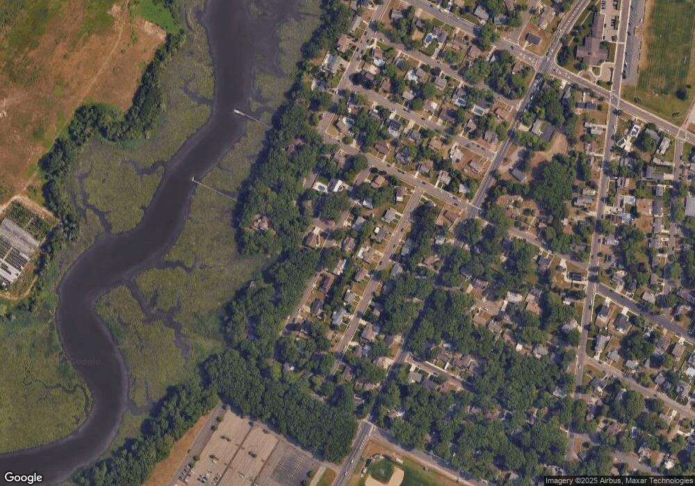
Map
Nearby Homes
- 1005 Bartlett Ave
- 1026 Bartlett Dr
- 1026 Bartlett Ave
- 901 Oak Ave
- 500 Davis Ave
- 921 Oak Grove Ave
- 109 Blackman Rd
- 2 Sandy Ct
- 4 Princeton Ln
- 309 Haines Ave
- 120 W Devonshire Ave
- 15 Elm Ave
- 404 Cedarbrook Ln
- 104 W Poplar Ave
- 15 Jodel Ln
- 7 Woodstock Dr
- 130 Wilson Ave
- 1050 Shore Rd
- 20 Devon Dr
- 210 Haines Ave
- 1004 Bartlett Ave
- 1008 Bartlett Ave
- 1007 Richards Dr
- 1005 Richards Dr
- 1009 Richards Dr
- 1005 Richard Dr
- 1007 Bartlett Ave
- 1002 Bartlett Ave
- 1010 Bartlett Ave
- 1003 Richards Dr
- 1011 Richards Dr
- 1009 Bartlett Ave
- 1006 Richards Dr
- 1003 Bartlett Ave
- 1004 Richards Dr
- 1008 Richards Dr
- 1012 Bartlett Ave
- 1000 Bartlett Ave
- 1001 Richards Dr
- 1013 Richards Dr