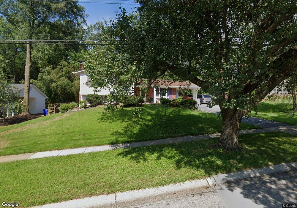
1006 Cannon Rd Silver Spring, MD 20904
Estimated Value: $579,000 - $631,000
Studio
3
Baths
2,342
Sq Ft
$257/Sq Ft
Est. Value
About This Home
This home is located at 1006 Cannon Rd, Silver Spring, MD 20904 and is currently estimated at $602,675, approximately $257 per square foot. 1006 Cannon Rd is a home located in Montgomery County with nearby schools including Cannon Road Elementary School, Francis Scott Key Middle School, and Springbrook High School.
Ownership History
Date
Name
Owned For
Owner Type
Purchase Details
Closed on
Apr 3, 2025
Sold by
Mills Peter D F and Mills Neirouz F
Bought by
Peter And Neirouz Mills Revocable Trust and Mills
Current Estimated Value
Purchase Details
Closed on
Aug 4, 1999
Sold by
Coffin William M and Coffin A P
Bought by
Mills Peter D F and Mills F N
Create a Home Valuation Report for This Property
The Home Valuation Report is an in-depth analysis detailing your home's value as well as a comparison with similar homes in the area
Home Values in the Area
Average Home Value in this Area
Purchase History
| Date | Buyer | Sale Price | Title Company |
|---|---|---|---|
| Peter And Neirouz Mills Revocable Trust | -- | None Listed On Document | |
| Peter And Neirouz Mills Revocable Trust | -- | None Listed On Document | |
| Mills Peter D F | $206,000 | -- |
Source: Public Records
Tax History
| Year | Tax Paid | Tax Assessment Tax Assessment Total Assessment is a certain percentage of the fair market value that is determined by local assessors to be the total taxable value of land and additions on the property. | Land | Improvement |
|---|---|---|---|---|
| 2025 | $5,139 | $429,500 | -- | -- |
| 2024 | $5,139 | $393,600 | -- | -- |
| 2023 | $4,009 | $357,700 | $192,900 | $164,800 |
| 2022 | $3,758 | $354,767 | $0 | $0 |
| 2021 | $3,948 | $351,833 | $0 | $0 |
| 2020 | $3,948 | $348,900 | $192,900 | $156,000 |
| 2019 | $3,568 | $348,900 | $192,900 | $156,000 |
| 2018 | $3,481 | $348,900 | $192,900 | $156,000 |
| 2017 | $3,329 | $352,300 | $0 | $0 |
| 2016 | -- | $334,267 | $0 | $0 |
| 2015 | $3,434 | $316,233 | $0 | $0 |
| 2014 | $3,434 | $298,200 | $0 | $0 |
Source: Public Records
Map
Nearby Homes
- 13137 Broadmore Rd
- 1306 Leister Dr
- 816 Rosemere Ave
- 605 Rosemere Ave
- 807 Winhall Way
- 12624 Billington Rd
- 906 Venice Dr
- 606 Winhall Way
- 1407 Northcrest Dr
- 12916 Shaw Place
- 13704 New Hampshire Ave
- 13707 Notley Rd
- 13711 Notley Rd
- 13715 Notley Rd
- 13719 Notley Rd
- 12405 Olivewood Place
- 2204 Badian Dr
- 2124 Aventurine Way
- 13524 Sherwood Forest Dr
- 3092 Fairland Rd
- 1004 Cannon Rd
- 1008 Cannon Rd
- 1003 Broadmore Cir
- 1005 Broadmore Cir
- 1001 Broadmore Cir
- 1002 Cannon Rd
- 1010 Cannon Rd
- 1007 Cannon Rd
- 1009 Cannon Rd
- 1005 Cannon Rd
- 1007 Broadmore Cir
- 1011 Cannon Rd
- 1000 Cannon Rd
- 1003 Cannon Rd
- 1000 Broadmore Cir
- 13000 Broadmore Rd
- 1009 Broadmore Cir
- 12922 Broadmore Rd
- 12924 Allerton Ln
- 12922 Allerton Ln
Your Personal Tour Guide
Ask me questions while you tour the home.