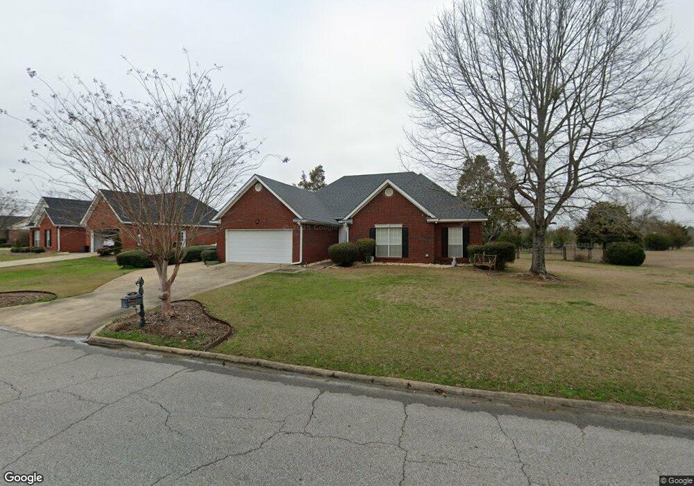
1006 Phil Harper Dr Demopolis, AL 36732
Estimated Value: $229,000 - $301,000
--
Bed
--
Bath
1,980
Sq Ft
$135/Sq Ft
Est. Value
About This Home
This home is located at 1006 Phil Harper Dr, Demopolis, AL 36732 and is currently estimated at $266,859, approximately $134 per square foot. 1006 Phil Harper Dr is a home located in Marengo County with nearby schools including Westside Elementary School, U.S. Jones Elementary School, and Demopolis Middle School.
Ownership History
Date
Name
Owned For
Owner Type
Purchase Details
Closed on
Jun 24, 2016
Sold by
Anderson Darron
Bought by
Trotter Dorothy W
Current Estimated Value
Purchase Details
Closed on
May 21, 2010
Sold by
Allen John D and Allen Kathryn S
Bought by
Anderson Darron
Home Financials for this Owner
Home Financials are based on the most recent Mortgage that was taken out on this home.
Original Mortgage
$202,176
Interest Rate
4.75%
Mortgage Type
FHA
Create a Home Valuation Report for This Property
The Home Valuation Report is an in-depth analysis detailing your home's value as well as a comparison with similar homes in the area
Home Values in the Area
Average Home Value in this Area
Purchase History
| Date | Buyer | Sale Price | Title Company |
|---|---|---|---|
| Trotter Dorothy W | $190,000 | None Available | |
| Anderson Darron | -- | -- |
Source: Public Records
Mortgage History
| Date | Status | Borrower | Loan Amount |
|---|---|---|---|
| Previous Owner | Anderson Darron | $202,176 |
Source: Public Records
Tax History Compared to Growth
Tax History
| Year | Tax Paid | Tax Assessment Tax Assessment Total Assessment is a certain percentage of the fair market value that is determined by local assessors to be the total taxable value of land and additions on the property. | Land | Improvement |
|---|---|---|---|---|
| 2024 | $1,231 | $25,260 | $2,880 | $22,380 |
| 2023 | $1,231 | $24,280 | $0 | $0 |
| 2022 | $1,204 | $22,340 | $0 | $0 |
| 2021 | $1,187 | $22,040 | $2,880 | $19,160 |
| 2020 | $1,098 | $20,460 | $2,880 | $17,580 |
| 2019 | $1,024 | $20,460 | $2,880 | $17,580 |
| 2018 | $1,024 | $20,460 | $2,880 | $17,580 |
| 2017 | $965 | $19,340 | $2,880 | $16,460 |
| 2016 | $1,012 | $19,280 | $2,880 | $16,400 |
| 2015 | $1,061 | $0 | $0 | $0 |
| 2014 | $1,061 | $0 | $0 | $0 |
| 2013 | $1,025 | $0 | $0 | $0 |
Source: Public Records
Map
Nearby Homes
- 703 The Cove
- 1106 Lillian Ln
- 1321 Phillips Dr
- 307 Earl Ave
- 1511 Service St
- 1606 Ridge Cir
- 00 Cobblestone Ln
- 1510 W Jackson St
- 500 S Main Ave Unit S
- 100 E Jackson St
- 102 E Jefferson St
- 1600 Elmwood Dr
- 1704 Maple Leaf Dr
- 200 N Ash Ave
- 0 U S 80 Unit 20102631
- County Highway 21
- 0 Highway 80
- 3362 County Road 1
- 1162 Sparks Rd
- 0 River Ranch Rd
- 1004 Phil Harper Dr
- 1008 Phil Harper Dr
- 1002 Phil Harper Dr
- 1007 Phil Harper Dr
- 1010 Phil Harper Dr
- 1005 Phil Harper Dr
- 1009 Phil Harper Dr
- 1000 Phil Harper Dr
- 1004 River Bluff Landing
- 1103 Phil Harper Dr
- 1001 Phil Harper Dr
- 910 Phil Harper Dr
- 706 Wildwood Cir
- 708 Wildwood Cir
- 1003 River Bluff
- 906 Phil Harper Dr
- 1107 Phil Harper Dr
- 704 Wildwood Cir
- 1012 Jacob Dr
- 905 W Rembert St