1006 St Francois Hills Dr Doe Run, MO 63637
Estimated Value: $437,000 - $529,249
4
Beds
2
Baths
3,150
Sq Ft
$153/Sq Ft
Est. Value
About This Home
This home is located at 1006 St Francois Hills Dr, Doe Run, MO 63637 and is currently estimated at $483,083, approximately $153 per square foot. 1006 St Francois Hills Dr is a home located in St. Francois County with nearby schools including Farmington Senior High School, St. Joseph School, and St. Joseph Catholic School.
Ownership History
Date
Name
Owned For
Owner Type
Purchase Details
Closed on
Nov 20, 2024
Sold by
Shaver Scott and Shaver Connie
Bought by
Peterson Harry H
Current Estimated Value
Home Financials for this Owner
Home Financials are based on the most recent Mortgage that was taken out on this home.
Original Mortgage
$485,000
Outstanding Balance
$479,391
Interest Rate
6.32%
Mortgage Type
Construction
Estimated Equity
$3,692
Create a Home Valuation Report for This Property
The Home Valuation Report is an in-depth analysis detailing your home's value as well as a comparison with similar homes in the area
Home Values in the Area
Average Home Value in this Area
Purchase History
| Date | Buyer | Sale Price | Title Company |
|---|---|---|---|
| Peterson Harry H | $606,250 | Continental Title Co |
Source: Public Records
Mortgage History
| Date | Status | Borrower | Loan Amount |
|---|---|---|---|
| Open | Peterson Harry H | $485,000 |
Source: Public Records
Tax History Compared to Growth
Tax History
| Year | Tax Paid | Tax Assessment Tax Assessment Total Assessment is a certain percentage of the fair market value that is determined by local assessors to be the total taxable value of land and additions on the property. | Land | Improvement |
|---|---|---|---|---|
| 2025 | $3,817 | $77,990 | $6,080 | $71,910 |
| 2024 | $2,897 | $59,100 | $6,080 | $53,020 |
| 2023 | $2,897 | $59,100 | $6,080 | $53,020 |
| 2022 | $2,906 | $59,100 | $6,080 | $53,020 |
| 2021 | $2,898 | $59,100 | $6,080 | $53,020 |
| 2020 | $2,918 | $59,100 | $6,080 | $53,020 |
| 2019 | $2,920 | $59,100 | $6,080 | $53,020 |
| 2018 | -- | $56,460 | $4,370 | $52,090 |
| 2017 | $2,885 | $56,460 | $4,370 | $52,090 |
| 2016 | $2,872 | $56,460 | $0 | $0 |
| 2015 | -- | $52,510 | $0 | $0 |
| 2014 | -- | $52,510 | $0 | $0 |
| 2013 | -- | $52,510 | $0 | $0 |
Source: Public Records
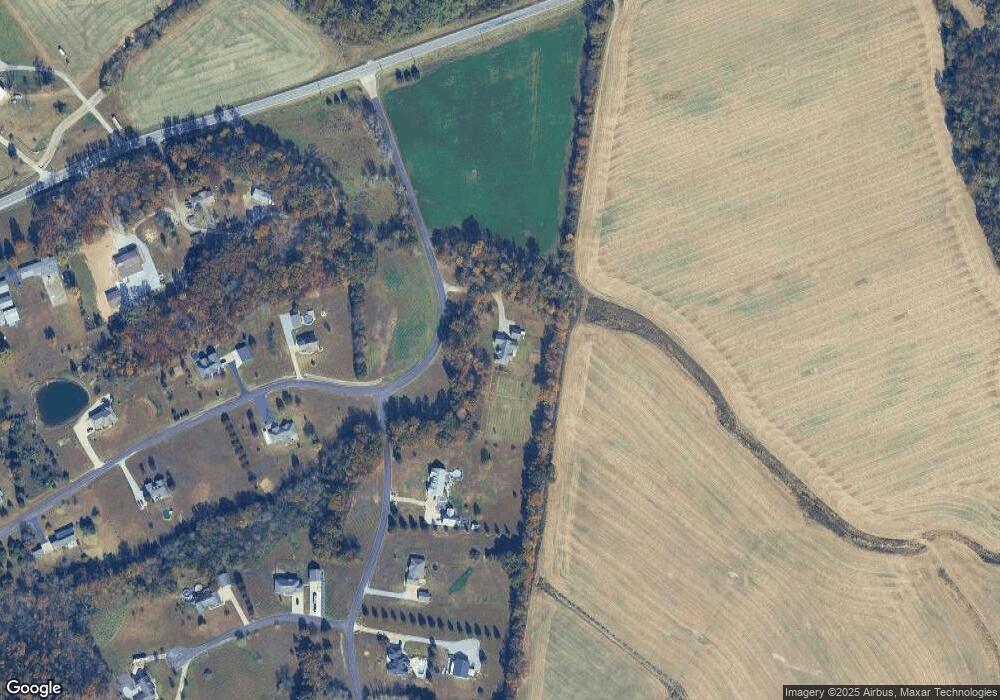
Map
Nearby Homes
- 3000 Metcalf Ln
- 717 Deerfield Ln
- 107 Railroad Ln
- 960 Ridgetop Dr
- 102 Timber Ln
- 200 Timber Ln
- 3120 Little Loughboro Rd
- 363 Moss Ln
- 489 Shade Tree Ln
- 1835 Woodland Trail Unit 4
- 0 Perrine Rd
- 2979 Sherrill Rd
- 814 Vernon Ave
- 0 W Liberty St Unit MAR25017229
- 2962 Sherrill Rd
- 208 Sugar Maple Cir
- 506 Aldergate St
- 805 W Columbia St
- 1239 Stono Mountain Dr
- 334 7th St
- 1006 Saint Francois Hills Dr
- 1006 St Francois Hills
- 1012 Saint Francois Hills Dr
- 1100 Old Logging Rd
- 1101 Old Logging Rd
- 1018 Saint Francois Hills Dr
- 1018 St Francois Hills Dr
- 1106 Old Logging Rd
- 1200 Hawthorn Ridge
- 1024 St Francois Hills
- 3648 Highway 221
- 1107 Old Logging Rd
- 1206 Hawthorn Ridge
- 3765 221
- 1112 Old Logging Rd
- 1030 Saint Francois Hills Dr
- 3618 Highway 221
- 1041 St Francois Dr
- 1113 Old Logging Rd
- 28 Old Logging Rd