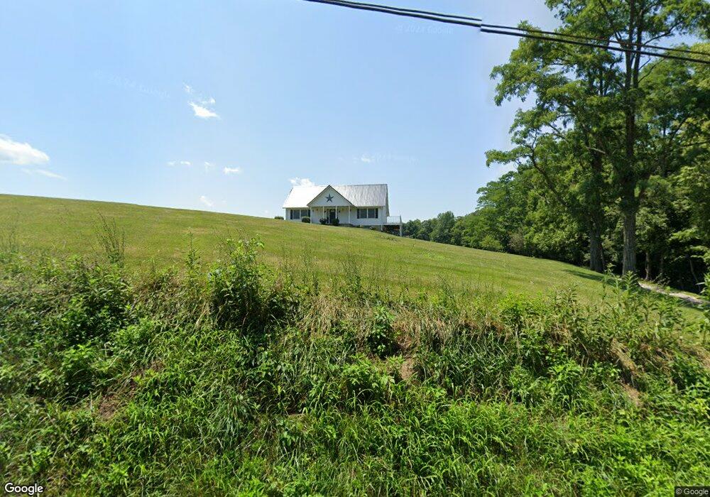
10061 W Fork Rd Georgetown, OH 45121
Estimated Value: $331,997 - $349,000
3
Beds
2
Baths
1,906
Sq Ft
$178/Sq Ft
Est. Value
About This Home
This home is located at 10061 W Fork Rd, Georgetown, OH 45121 and is currently estimated at $339,999, approximately $178 per square foot. 10061 W Fork Rd is a home located in Brown County with nearby schools including Georgetown Elementary School and Georgetown Jr/Sr High School.
Ownership History
Date
Name
Owned For
Owner Type
Purchase Details
Closed on
Sep 14, 2004
Sold by
Fannie Mae
Bought by
Leggett Keith B and Leggett Denise C
Current Estimated Value
Home Financials for this Owner
Home Financials are based on the most recent Mortgage that was taken out on this home.
Original Mortgage
$168,000
Outstanding Balance
$87,308
Interest Rate
6.62%
Mortgage Type
Purchase Money Mortgage
Estimated Equity
$252,691
Purchase Details
Closed on
Mar 10, 2004
Sold by
Crawford Edward Dean and Crawford Michelle R
Bought by
Federal National Mortgage Association
Purchase Details
Closed on
Nov 21, 2003
Sold by
Crawford Edward Dean and Crawford Michelle R
Bought by
Hud
Purchase Details
Closed on
Aug 12, 1997
Sold by
Shaker Investments
Bought by
Dean and Crawford Michelle
Home Financials for this Owner
Home Financials are based on the most recent Mortgage that was taken out on this home.
Original Mortgage
$16,500
Interest Rate
7.68%
Mortgage Type
New Conventional
Create a Home Valuation Report for This Property
The Home Valuation Report is an in-depth analysis detailing your home's value as well as a comparison with similar homes in the area
Purchase History
| Date | Buyer | Sale Price | Title Company |
|---|---|---|---|
| Leggett Keith B | $168,000 | -- | |
| Federal National Mortgage Association | $160,000 | -- | |
| Hud | $160,000 | -- | |
| Dean | $18,900 | -- |
Source: Public Records
Mortgage History
| Date | Status | Borrower | Loan Amount |
|---|---|---|---|
| Open | Leggett Keith B | $168,000 | |
| Previous Owner | Dean | $16,500 |
Source: Public Records
Tax History
| Year | Tax Paid | Tax Assessment Tax Assessment Total Assessment is a certain percentage of the fair market value that is determined by local assessors to be the total taxable value of land and additions on the property. | Land | Improvement |
|---|---|---|---|---|
| 2024 | $3,006 | $90,450 | $17,490 | $72,960 |
| 2023 | $2,980 | $74,320 | $14,550 | $59,770 |
| 2022 | $2,548 | $74,320 | $14,550 | $59,770 |
| 2021 | $2,522 | $74,320 | $14,550 | $59,770 |
| 2020 | $2,271 | $64,620 | $12,650 | $51,970 |
| 2019 | $2,253 | $64,620 | $12,650 | $51,970 |
| 2018 | $2,235 | $64,620 | $12,650 | $51,970 |
| 2017 | $1,969 | $59,350 | $13,910 | $45,440 |
| 2016 | $1,968 | $59,350 | $13,910 | $45,440 |
| 2015 | $2,041 | $59,350 | $13,910 | $45,440 |
| 2014 | $2,041 | $58,090 | $12,650 | $45,440 |
| 2013 | $2,075 | $58,090 | $12,650 | $45,440 |
Source: Public Records
Map
Nearby Homes
- 9995 U S 68
- 4279 Sunshine Rd
- 2 N Kenwood Ave
- 1 N Kenwood Ave
- 427 Kenwood Ave
- 60 New St
- 508 Mount Orab Pike
- 399 Elmwood Ct
- 406 E North St
- 708 E State St
- 405 N Main St
- 666 E State St
- 1787 Waynoka Dr
- 1655 Waynoka Dr
- 104 Waynoka Dr
- 106 Sequoia Dr
- 505 S Water St
- 118 Shawnee Dr
- 88 Navajo Dr
- 510 W State St
- 0 W Fork Rd Unit 1593853
- 0 W Fork Rd Unit 1278628
- 0 W Fork Rd Unit 1307692
- 0 W Fork Rd Unit 1446838
- 0 W Fork Rd Unit 1446832
- 0 W Fork Rd Unit 1447830
- 0 W Fork Rd Unit 1727618
- 0 W Fork Rd Unit 759695
- 5612 Wahlsburg East Rd
- 0 W Fork Rd Unit Lt 11 1134615
- 0 W Fork Rd Unit Lt 11 1232729
- 0 W Fork Rd Unit 1344395
- 11 W Fork Rd Unit 11
- 1 W Fork Rd
- 10088 W Fork Rd
- 5610 Wahlsburg East Rd
- 10073 W Fork Rd
- 9890 Baker Hanselman Rd
- 10079 W Fork Rd
- 5582 Wahlsburg East Rd
Your Personal Tour Guide
Ask me questions while you tour the home.