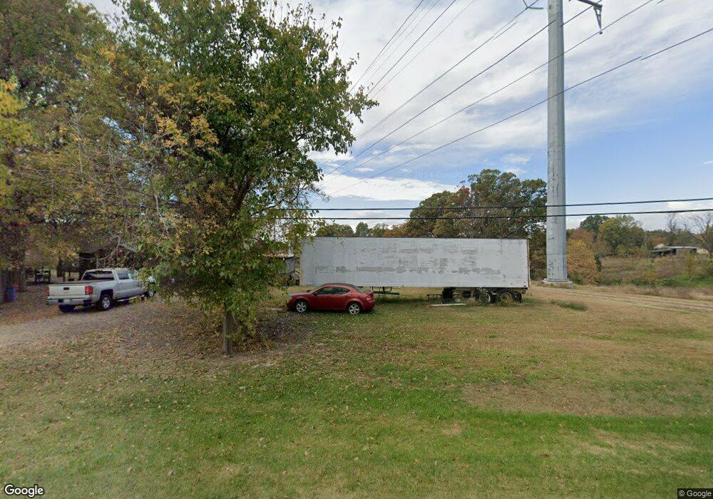
10067 Highway 127 Murphysboro, IL 62966
Estimated Value: $85,000 - $112,382
1
Bed
--
Bath
--
Sq Ft
2.16
Acres
About This Home
This home is located at 10067 Highway 127, Murphysboro, IL 62966 and is currently estimated at $98,691. 10067 Highway 127 is a home with nearby schools including Murphysboro High School, St. Andrew Catholic School, and Montessori School of S. Illinois.
Ownership History
Date
Name
Owned For
Owner Type
Purchase Details
Closed on
Mar 22, 2023
Sold by
Carter Fred E and Carter Tina M
Bought by
Ameren Illinois Company
Current Estimated Value
Purchase Details
Closed on
Apr 1, 2009
Sold by
Brown James Daniel and Brown Kimberly
Bought by
Carter Fred E and Carter Tina M
Home Financials for this Owner
Home Financials are based on the most recent Mortgage that was taken out on this home.
Original Mortgage
$96,875
Interest Rate
6%
Mortgage Type
Adjustable Rate Mortgage/ARM
Create a Home Valuation Report for This Property
The Home Valuation Report is an in-depth analysis detailing your home's value as well as a comparison with similar homes in the area
Home Values in the Area
Average Home Value in this Area
Purchase History
| Date | Buyer | Sale Price | Title Company |
|---|---|---|---|
| Ameren Illinois Company | -- | None Listed On Document | |
| Carter Fred E | $33,500 | None Available | |
| Carter Fred E | $23,000 | None Available |
Source: Public Records
Mortgage History
| Date | Status | Borrower | Loan Amount |
|---|---|---|---|
| Previous Owner | Carter Fred E | $96,875 |
Source: Public Records
Tax History Compared to Growth
Tax History
| Year | Tax Paid | Tax Assessment Tax Assessment Total Assessment is a certain percentage of the fair market value that is determined by local assessors to be the total taxable value of land and additions on the property. | Land | Improvement |
|---|---|---|---|---|
| 2024 | $1,283 | $15,612 | $3,199 | $12,413 |
| 2023 | $67 | $4,761 | $2,838 | $1,923 |
| 2022 | $67 | $4,364 | $2,601 | $1,763 |
| 2021 | $68 | $4,094 | $2,440 | $1,654 |
| 2020 | $71 | $4,045 | $2,411 | $1,634 |
| 2019 | $66 | $2,369 | $2,369 | $0 |
| 2018 | $64 | $2,369 | $2,369 | $0 |
| 2017 | $64 | $2,369 | $2,369 | $0 |
| 2016 | $63 | $2,369 | $2,369 | $0 |
| 2015 | -- | $2,369 | $2,369 | $0 |
| 2014 | -- | $2,369 | $2,369 | $0 |
| 2012 | -- | $2,369 | $2,369 | $0 |
Source: Public Records
Map
Nearby Homes
- 15 Oakwood Ln
- 9191 Old Highway 13
- 491 Wells St
- 8994 Old Highway 13
- 375 Wells St
- 1435 Hoffman Rd
- 1609 Tina Dr
- 8694 Old Highway 13
- 538 S 17th St
- 524 S 17th St
- 101 S 6th St
- 000 Chestnut St
- 103 N 7th St
- 604 S 20th St
- 0000 Iroquois Trail
- 1302 Walnut St Unit 1302 & 1306
- 2237 Roblee Ave
- 1827 Edith St
- 000 Birkner Ln
- 509 Lucier St
- 10041 Highway 127
- 10117 Highway 127
- 10117 Illinois 127
- 10007 Highway 127
- 9977 Highway 127
- 84 Burkey Ln
- 145 Moto X Ln
- 10050 Highway 127
- 9998 Highway 127
- 9935 Highway 127
- 91 Burkey Ln
- 9972 Highway 127
- 49 Moto X Ln
- 9917 Illinois 127
- 10144 Highway 127
- 9946 Highway 127
- 9917 Highway 127
- 48 Moto X Ln
- 10219 Illinois 127
- 9895 Highway 127