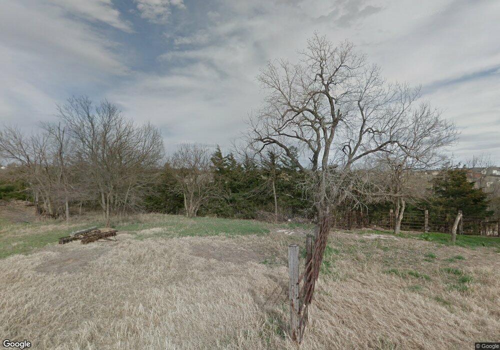
1007 Chisholm Trail Junction City, KS 66441
Estimated Value: $275,000 - $424,000
5
Beds
3
Baths
1,931
Sq Ft
$191/Sq Ft
Est. Value
About This Home
This home is located at 1007 Chisholm Trail, Junction City, KS 66441 and is currently estimated at $369,478, approximately $191 per square foot. 1007 Chisholm Trail is a home with nearby schools including Spring Valley Elementary School, Junction City Middle School, and Junction City Senior High School.
Ownership History
Date
Name
Owned For
Owner Type
Purchase Details
Closed on
Aug 24, 2020
Sold by
R & R Developers Inc
Bought by
Wayne Emmett and Wayne Sheila
Current Estimated Value
Home Financials for this Owner
Home Financials are based on the most recent Mortgage that was taken out on this home.
Original Mortgage
$337,995
Outstanding Balance
$299,266
Interest Rate
2.9%
Mortgage Type
VA
Estimated Equity
$70,212
Create a Home Valuation Report for This Property
The Home Valuation Report is an in-depth analysis detailing your home's value as well as a comparison with similar homes in the area
Home Values in the Area
Average Home Value in this Area
Purchase History
| Date | Buyer | Sale Price | Title Company |
|---|---|---|---|
| Wayne Emmett | -- | Junction City Abstract & Ttl |
Source: Public Records
Mortgage History
| Date | Status | Borrower | Loan Amount |
|---|---|---|---|
| Open | Wayne Emmett | $337,995 |
Source: Public Records
Tax History Compared to Growth
Tax History
| Year | Tax Paid | Tax Assessment Tax Assessment Total Assessment is a certain percentage of the fair market value that is determined by local assessors to be the total taxable value of land and additions on the property. | Land | Improvement |
|---|---|---|---|---|
| 2025 | $6,370 | $43,871 | $577 | $43,294 |
| 2024 | $7,716 | $43,336 | $577 | $42,759 |
| 2023 | $8,005 | $42,963 | $344 | $42,619 |
| 2022 | $0 | $38,031 | $344 | $37,687 |
| 2021 | $0 | $37,739 | $577 | $37,162 |
| 2020 | $1,704 | $602 | $602 | $0 |
| 2019 | $1,712 | $654 | $654 | $0 |
| 2018 | $1,712 | $654 | $654 | $0 |
| 2017 | $118 | $714 | $714 | $0 |
| 2016 | -- | $0 | $0 | $0 |
| 2015 | -- | $0 | $0 | $0 |
| 2014 | -- | $1,574 | $1,574 | $0 |
Source: Public Records
Map
Nearby Homes
- 1041 Sandusky Dr
- 716 Tall Grass Dr
- 1308 Sandusky Dr
- 1117 Coyote Dr
- 2204 Elk Ct
- 1912 Winona Cir
- 1337 Elm Creek Dr
- 1218 Caroline Ave
- 316 Michaels Way
- 1233 Caroline Ave
- 313 Caroline Ct
- 1331 Spring Hill Dr
- 1309 Caroline Ave
- 1811 Commanche Ct
- 2703 Valley Dr
- 2714 Hackberry Dr
- 2718 Blaine Ct
- 2720 Sage Ct
- 516 Tamerisk Dr
- 905 Dagen Ln
- 1007 Wolf Ct
- 1014 Sandusky Dr
- 931 Chisholm Trail
- 931 Wolf Ct
- 1008 Sandusky Dr
- 1020 Sandusky Dr
- 1002 Sandusky Dr
- 925 Chisholm Trail
- 925 Wolf Ct
- 934 Sandusky Dr
- 926 Sandusky Dr
- 919 Wolf Ct
- 919 Chisholm Trail
- 1011 Sandusky Dr
- 918 Sandusky Dr
- 902 Coyote Dr
- 915 Chisholm Trail
- 913 Wolf Ct
- 912 Sandusky Dr
- 903 Coyote Dr
