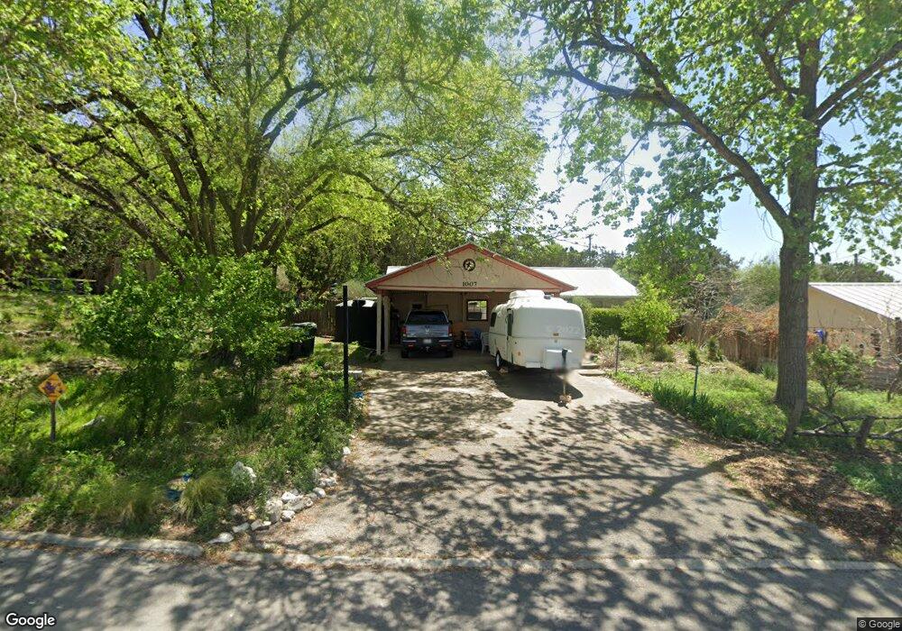
1007 Dale St San Marcos, TX 78666
Oak Heights NeighborhoodEstimated Value: $283,443 - $316,000
3
Beds
2
Baths
1,383
Sq Ft
$218/Sq Ft
Est. Value
About This Home
This home is located at 1007 Dale St, San Marcos, TX 78666 and is currently estimated at $302,111, approximately $218 per square foot. 1007 Dale St is a home located in Hays County with nearby schools including Crockett Elementary School, Dorris Miller Middle School, and San Marcos High School.
Ownership History
Date
Name
Owned For
Owner Type
Purchase Details
Closed on
May 10, 2010
Sold by
Reynolds Nathan A and Reynolds Lydia M
Bought by
Eby Robert F and Eby Kelly A
Current Estimated Value
Home Financials for this Owner
Home Financials are based on the most recent Mortgage that was taken out on this home.
Original Mortgage
$110,000
Outstanding Balance
$73,294
Interest Rate
4.93%
Mortgage Type
New Conventional
Estimated Equity
$228,817
Purchase Details
Closed on
Jul 25, 2007
Sold by
Frediani James Thomas
Bought by
Reynolds Nathan A and Reynolds Lydia M
Home Financials for this Owner
Home Financials are based on the most recent Mortgage that was taken out on this home.
Original Mortgage
$121,000
Interest Rate
6.71%
Mortgage Type
Purchase Money Mortgage
Create a Home Valuation Report for This Property
The Home Valuation Report is an in-depth analysis detailing your home's value as well as a comparison with similar homes in the area
Home Values in the Area
Average Home Value in this Area
Purchase History
| Date | Buyer | Sale Price | Title Company |
|---|---|---|---|
| Eby Robert F | -- | Independence Title | |
| Reynolds Nathan A | -- | San Marcos Title Co |
Source: Public Records
Mortgage History
| Date | Status | Borrower | Loan Amount |
|---|---|---|---|
| Open | Eby Robert F | $110,000 | |
| Previous Owner | Reynolds Nathan A | $121,000 |
Source: Public Records
Tax History Compared to Growth
Tax History
| Year | Tax Paid | Tax Assessment Tax Assessment Total Assessment is a certain percentage of the fair market value that is determined by local assessors to be the total taxable value of land and additions on the property. | Land | Improvement |
|---|---|---|---|---|
| 2025 | $4,410 | $271,739 | $73,610 | $198,129 |
| 2024 | $4,410 | $281,211 | $73,610 | $210,987 |
| 2023 | $4,862 | $255,646 | $73,610 | $232,150 |
| 2022 | $4,203 | $232,405 | $62,380 | $177,370 |
| 2021 | $4,657 | $211,277 | $56,380 | $162,340 |
| 2020 | $3,914 | $195,470 | $55,180 | $140,290 |
| 2019 | $4,381 | $177,980 | $55,180 | $135,740 |
| 2018 | $4,001 | $161,800 | $25,640 | $136,160 |
| 2017 | $3,539 | $147,180 | $22,790 | $130,590 |
| 2016 | $3,217 | $133,800 | $11,970 | $121,830 |
| 2015 | $2,748 | $126,630 | $11,970 | $114,660 |
Source: Public Records
Map
Nearby Homes
- 2007 Castle Gate Cir
- 1919 Castle Gate Cir
- 2003 Lisa Ln
- 1007 Earle St
- 1931 Lisa Ln
- 1108 Marlton St
- 1837 Pearce Ct
- 2022 Ridge View Dr
- 108 Dolly St
- 1809 Pearce Ct
- 1805 Ramona Cir
- 609 Chicago St
- 2203 Lancaster St
- 1000 Advance #2 St
- 1610 Ramona Cir
- 1000 Advance St
- 800 N Bishop St
- 1009 Advance St Unit 1011
- 1505 Furman Ave
- 1501 Furman Ave
- 1509 Girard St
- 1601 Furman Ave
- 1002 Dale St
- 1601 Girard St
- 1605 Girard St
- 1004 Franklin Dr
- 1605 Furman Ave
- 1000 Franklin Dr
- 1008 Franklin Dr
- 910 Dale St
- 909 Dale St
- 1100 Franklin Dr
- 1607 Girard St
- 908 Dale Dr
- 908 Dale St
- 908 Franklin Dr
- 1609 Furman Ave
- 1005 Indiana St