1007 Ruark Ln Murfreesboro, TN 37128
Estimated Value: $451,589 - $479,000
--
Bed
--
Bath
2,094
Sq Ft
$225/Sq Ft
Est. Value
About This Home
This home is located at 1007 Ruark Ln, Murfreesboro, TN 37128 and is currently estimated at $470,897, approximately $224 per square foot. 1007 Ruark Ln is a home with nearby schools including Rockvale Elementary School, Rockvale Middle School, and Rockvale High School.
Ownership History
Date
Name
Owned For
Owner Type
Purchase Details
Closed on
Jul 19, 2013
Sold by
Ole South Properties Inc
Bought by
Hoyt Daniels S Audreanna
Current Estimated Value
Home Financials for this Owner
Home Financials are based on the most recent Mortgage that was taken out on this home.
Original Mortgage
$182,361
Outstanding Balance
$132,827
Interest Rate
3.96%
Mortgage Type
VA
Estimated Equity
$338,070
Purchase Details
Closed on
Mar 4, 2013
Sold by
Park Trust Development Llc
Bought by
Ole South Properties Inc
Home Financials for this Owner
Home Financials are based on the most recent Mortgage that was taken out on this home.
Original Mortgage
$133,500
Interest Rate
3.56%
Mortgage Type
Commercial
Purchase Details
Closed on
Oct 7, 1996
Sold by
Barry Grodin
Bought by
Barry Grodin
Create a Home Valuation Report for This Property
The Home Valuation Report is an in-depth analysis detailing your home's value as well as a comparison with similar homes in the area
Home Values in the Area
Average Home Value in this Area
Purchase History
| Date | Buyer | Sale Price | Title Company |
|---|---|---|---|
| Hoyt Daniels S Audreanna | $180,000 | -- | |
| Ole South Properties Inc | $37,500 | -- | |
| Barry Grodin | $101,882 | -- |
Source: Public Records
Mortgage History
| Date | Status | Borrower | Loan Amount |
|---|---|---|---|
| Open | Hoyt Daniels S Audreanna | $182,361 | |
| Previous Owner | Ole South Properties Inc | $133,500 |
Source: Public Records
Tax History Compared to Growth
Tax History
| Year | Tax Paid | Tax Assessment Tax Assessment Total Assessment is a certain percentage of the fair market value that is determined by local assessors to be the total taxable value of land and additions on the property. | Land | Improvement |
|---|---|---|---|---|
| 2025 | $1,634 | $87,100 | $13,750 | $73,350 |
| 2024 | $1,634 | $87,100 | $13,750 | $73,350 |
| 2023 | $1,548 | $82,525 | $13,750 | $68,775 |
| 2022 | $1,334 | $82,525 | $13,750 | $68,775 |
| 2021 | $1,376 | $62,000 | $12,500 | $49,500 |
| 2020 | $1,376 | $62,000 | $12,500 | $49,500 |
| 2019 | $1,376 | $62,000 | $12,500 | $49,500 |
Source: Public Records
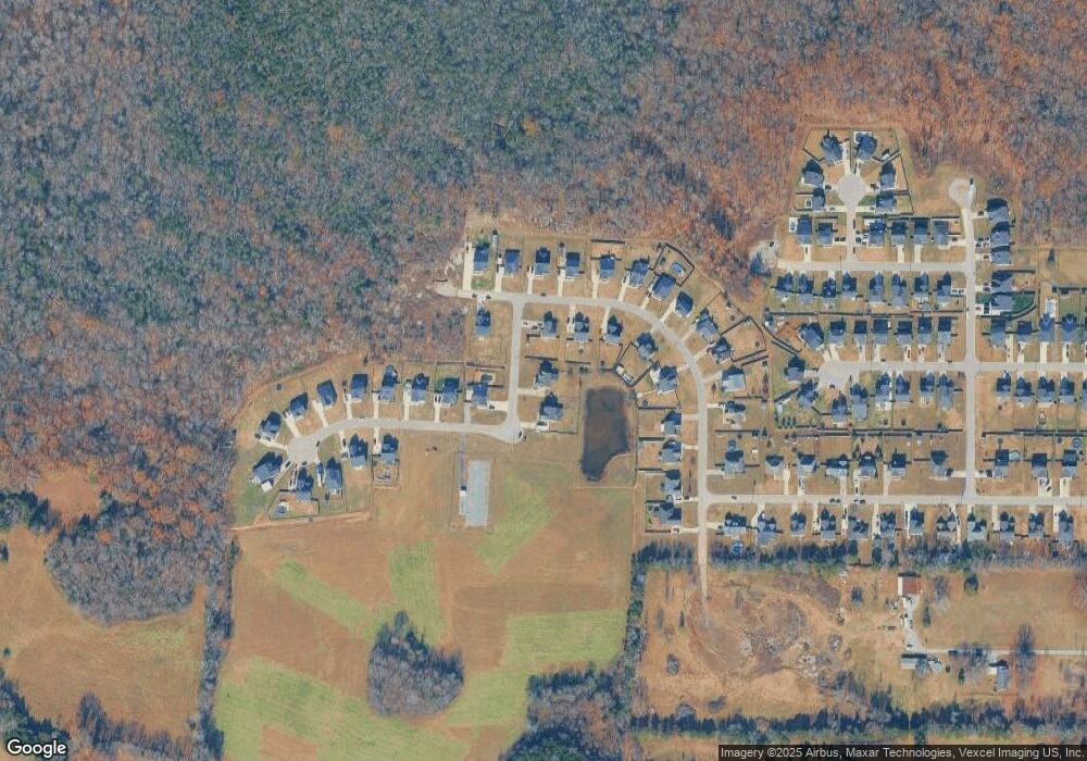
Map
Nearby Homes
- 2550 Thompson Rd
- 2575 North Rd
- 2102 Salem Woods Dr
- 119 Jeremiah Ct
- 154 Clearidge Dr
- 4015 Colleton Ln
- 5807 Shoreline Dr
- Newport Plan at Carlton Landing
- Manchester Plan at Carlton Landing
- Johnson Plan at Carlton Landing
- Sherwood Plan at Carlton Landing
- Brentwood Plan at Carlton Landing
- Northbrook Plan at Carlton Landing
- 5803 Craven Ln
- 4018 Colleton Ln
- 4007 Colleton Ln
- 5730 Craven Ln
- 2305 Scout Dr
- 4003 Colleton Ln
- 5822 Craven Ln
- 1011 Ruark Ln
- 1145 Starhurst Dr
- 1141 Starhurst Dr
- 18 Pinnacle Hills-Lot Unit 18
- 18 Pinnacle Hills-Lot #18
- 1102 Ruark Ln
- 1102 Ruark Ln Unit 97
- 1203 Starhurst Dr Unit 96
- 1203 Starhurst Dr
- 17 Pinnacle Hills
- 1135 Starhurst Dr
- 1106 Ruark Ln
- 1106 Ruark Ln Unit 98
- 1125 Starhurst Dr
- 1146 Starhurst Dr
- 1146 Starhurst Dr Unit 75
- 1142 Starhurst Dr
- 1142 Starhurst Dr Unit 74
- 1119 Starhurst Dr
- 1202 Starhurst Dr Unit 76