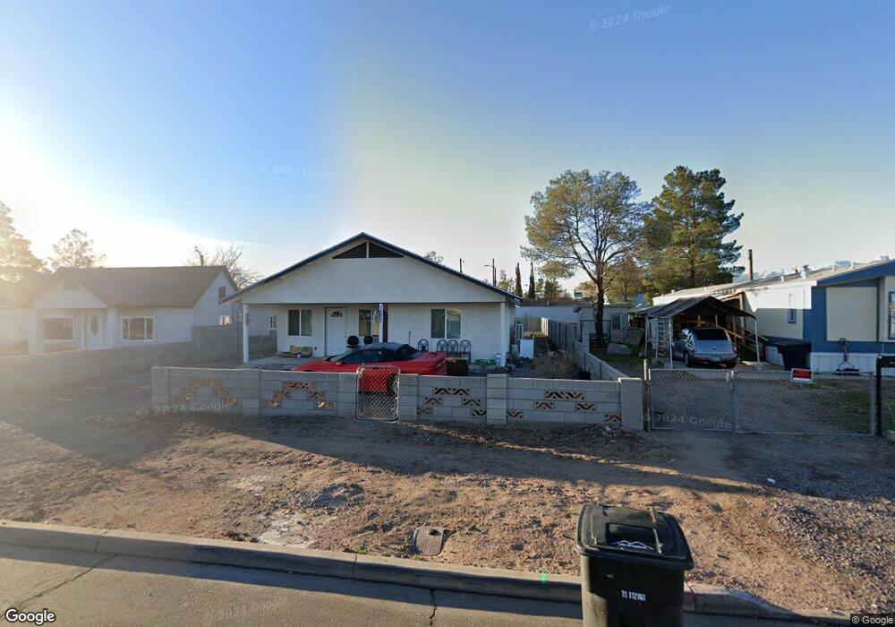
1007 W Main St Safford, AZ 85546
Estimated Value: $318,000 - $375,719
--
Bed
--
Bath
2,170
Sq Ft
$159/Sq Ft
Est. Value
About This Home
This home is located at 1007 W Main St, Safford, AZ 85546 and is currently estimated at $344,180, approximately $158 per square foot. 1007 W Main St is a home located in Graham County with nearby schools including Ruth Powell Elementary School, Dorothy Stinson School, and Lafe Nelson School.
Ownership History
Date
Name
Owned For
Owner Type
Purchase Details
Closed on
May 27, 2020
Sold by
Ndiaye Seynabou
Bought by
Rodriguez Baltazar and Rodriguez Patricia P
Current Estimated Value
Purchase Details
Closed on
Sep 12, 2017
Sold by
Benson Sky
Bought by
Ndiaye Seynabou
Purchase Details
Closed on
May 22, 2017
Sold by
Mi Canton Solutions
Bought by
Benson Sky
Purchase Details
Closed on
Sep 19, 2011
Sold by
Barney Clint Kay
Bought by
Barney Lee O
Purchase Details
Closed on
Dec 23, 2010
Sold by
Barney Michele
Bought by
Barney Lee
Purchase Details
Closed on
Feb 25, 2008
Sold by
Barney Clint Kay
Bought by
Barney Lee O
Create a Home Valuation Report for This Property
The Home Valuation Report is an in-depth analysis detailing your home's value as well as a comparison with similar homes in the area
Home Values in the Area
Average Home Value in this Area
Purchase History
| Date | Buyer | Sale Price | Title Company |
|---|---|---|---|
| Rodriguez Baltazar | $17,000 | None Available | |
| Ndiaye Seynabou | $14,500 | None Available | |
| Benson Sky | $12,000 | None Available | |
| Barney Lee O | -- | None Available | |
| Barney Lee | -- | None Available | |
| Barney Lee O | -- | None Available |
Source: Public Records
Tax History Compared to Growth
Tax History
| Year | Tax Paid | Tax Assessment Tax Assessment Total Assessment is a certain percentage of the fair market value that is determined by local assessors to be the total taxable value of land and additions on the property. | Land | Improvement |
|---|---|---|---|---|
| 2026 | $1,736 | -- | -- | -- |
| 2025 | $1,736 | $27,824 | $1,152 | $26,672 |
| 2024 | $160 | $1,728 | $1,728 | $0 |
| 2023 | $160 | $1,728 | $1,728 | $0 |
| 2022 | $158 | $1,728 | $1,728 | $0 |
| 2021 | $169 | $0 | $0 | $0 |
| 2020 | $163 | $0 | $0 | $0 |
| 2019 | $675 | $0 | $0 | $0 |
| 2018 | $646 | $0 | $0 | $0 |
| 2017 | $587 | $0 | $0 | $0 |
| 2016 | $545 | $0 | $0 | $0 |
| 2015 | $412 | $0 | $0 | $0 |
Source: Public Records
Map
Nearby Homes
- 1491 W Thatcher Blvd Unit 107
- 216 S 6th Ave
- 1108 S 9th Ave
- 1108 S 9th Place
- 1565 W Cobblestone Dr
- 1217 S 7th Ave
- 1309 S Bingham Place
- 1209 S 6th Ave
- 1302 S 7th Ave
- 1115 W Relation St
- 514 W 15th St
- 1105 S 1st Ave
- 1204 S 1st Ave
- 115 E 2nd St
- 120 Relation St Unit 2
- 1609 S 12th Ave
- 220 W 16th St
- 832 W Stirrup Dr
- 115 W 15th St
- 1785 Camilla Cir