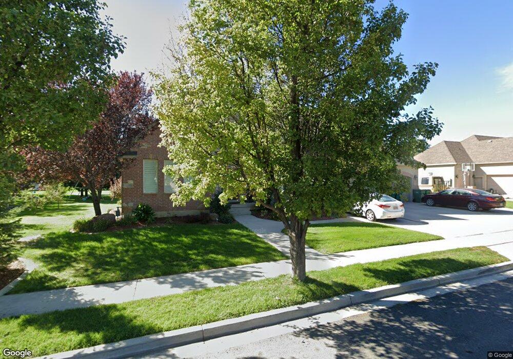
10071 N 6580 W Highland, UT 84003
Estimated Value: $789,000 - $1,051,000
4
Beds
3
Baths
2,502
Sq Ft
$370/Sq Ft
Est. Value
About This Home
This home is located at 10071 N 6580 W, Highland, UT 84003 and is currently estimated at $925,141, approximately $369 per square foot. 10071 N 6580 W is a home located in Utah County with nearby schools including Freedom Elementary School, Mountain Ridge Junior High School, and American Fork High School.
Ownership History
Date
Name
Owned For
Owner Type
Purchase Details
Closed on
May 24, 2002
Sold by
Jdd Investments
Bought by
Sia Antonio and Sia Alice
Current Estimated Value
Home Financials for this Owner
Home Financials are based on the most recent Mortgage that was taken out on this home.
Original Mortgage
$67,222
Outstanding Balance
$28,186
Interest Rate
6.83%
Mortgage Type
Seller Take Back
Estimated Equity
$896,955
Purchase Details
Closed on
Apr 26, 2002
Sold by
Stevens Robert L and Stevens Mary Jayne
Bought by
Jdd Investments
Home Financials for this Owner
Home Financials are based on the most recent Mortgage that was taken out on this home.
Original Mortgage
$67,222
Outstanding Balance
$28,186
Interest Rate
6.83%
Mortgage Type
Seller Take Back
Estimated Equity
$896,955
Create a Home Valuation Report for This Property
The Home Valuation Report is an in-depth analysis detailing your home's value as well as a comparison with similar homes in the area
Home Values in the Area
Average Home Value in this Area
Purchase History
| Date | Buyer | Sale Price | Title Company |
|---|---|---|---|
| Sia Antonio | -- | Guardian Title Salt Lake | |
| Jdd Investments | -- | Guardian Title Salt Lake |
Source: Public Records
Mortgage History
| Date | Status | Borrower | Loan Amount |
|---|---|---|---|
| Open | Sia Antonio | $67,222 |
Source: Public Records
Tax History Compared to Growth
Tax History
| Year | Tax Paid | Tax Assessment Tax Assessment Total Assessment is a certain percentage of the fair market value that is determined by local assessors to be the total taxable value of land and additions on the property. | Land | Improvement |
|---|---|---|---|---|
| 2025 | $3,760 | $489,060 | $370,800 | $518,400 |
| 2024 | $3,760 | $464,475 | $0 | $0 |
| 2023 | $3,578 | $476,795 | $0 | $0 |
| 2022 | $3,679 | $475,310 | $0 | $0 |
| 2021 | $3,295 | $634,100 | $197,900 | $436,200 |
| 2020 | $3,156 | $595,600 | $172,100 | $423,500 |
| 2019 | $2,759 | $544,800 | $172,100 | $372,700 |
| 2018 | $2,814 | $528,000 | $164,900 | $363,100 |
| 2017 | $2,584 | $258,775 | $0 | $0 |
| 2016 | $2,443 | $228,635 | $0 | $0 |
| 2015 | $2,533 | $224,675 | $0 | $0 |
| 2014 | $2,242 | $197,120 | $0 | $0 |
Source: Public Records
Map
Nearby Homes
- 9967 N 6670 W
- 9924 N 6630 W Unit 9
- 6399 W 10150 N
- 6692 W 9770 N
- 6190 W 10050 N
- 6372 W 10400 N
- 10434 N 6400 W
- 6373 W 10500 N
- 1438 N 400 W
- 5973 W 9960 N
- 9435 N Aspen Hollow Cir
- 9780 N 6000 W
- 11337 N 5950 W Unit 7
- 356 W 1300 N
- 975 E 2125 N
- 287 W 1360 N
- 859 E 2125 N
- 2208 N 825 E
- 6271 W 10830 St N
- 1602 E Center Pointe Dr
- 10071 N 6580 W Unit 35
- 10087 N 6580 W
- 10087 N 6580 W Unit 34
- 10053 N 6580 W
- 10053 N 6580 W Unit 36
- 10072 N 6580 W
- 10072 N 6580 W Unit 31
- 6600 W 10030 N
- 6602 W 10030 N
- 6602 W 10030 N Unit 37
- 10054 N 6580 W
- 10054 N 6580 W Unit 30
- 10082 N 6580 W
- 10082 N 6580 W Unit 32
- 6632 W 10030 N
- 6632 W 10030 N Unit 38
- 10036 N 6580 W
- 10036 N 6580 W Unit 29
- 10102 N 6580 W
- 10102 N 6580 W Unit 33