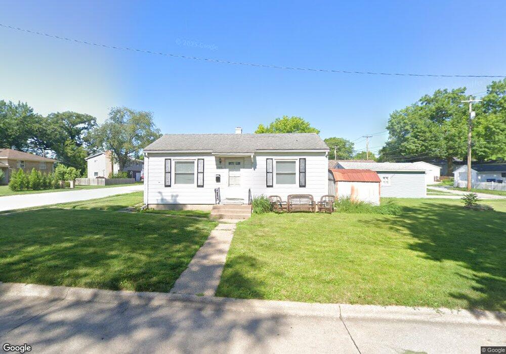
1008 19th St Bettendorf, IA 52722
Downtown Bettendorf NeighborhoodEstimated Value: $105,000 - $166,000
2
Beds
1
Bath
620
Sq Ft
$202/Sq Ft
Est. Value
About This Home
This home is located at 1008 19th St, Bettendorf, IA 52722 and is currently estimated at $125,130, approximately $201 per square foot. 1008 19th St is a home located in Scott County with nearby schools including Mark Twain Elementary School, Bettendorf Middle School, and Bettendorf High School.
Ownership History
Date
Name
Owned For
Owner Type
Purchase Details
Closed on
Nov 27, 2023
Sold by
Laing Jack E and Laing Nancy L
Bought by
Ap Direct Llc
Current Estimated Value
Home Financials for this Owner
Home Financials are based on the most recent Mortgage that was taken out on this home.
Original Mortgage
$74,750
Outstanding Balance
$50,631
Interest Rate
7.76%
Mortgage Type
New Conventional
Estimated Equity
$74,499
Create a Home Valuation Report for This Property
The Home Valuation Report is an in-depth analysis detailing your home's value as well as a comparison with similar homes in the area
Home Values in the Area
Average Home Value in this Area
Purchase History
| Date | Buyer | Sale Price | Title Company |
|---|---|---|---|
| Ap Direct Llc | $89,000 | None Listed On Document |
Source: Public Records
Mortgage History
| Date | Status | Borrower | Loan Amount |
|---|---|---|---|
| Open | Ap Direct Llc | $74,750 |
Source: Public Records
Tax History Compared to Growth
Tax History
| Year | Tax Paid | Tax Assessment Tax Assessment Total Assessment is a certain percentage of the fair market value that is determined by local assessors to be the total taxable value of land and additions on the property. | Land | Improvement |
|---|---|---|---|---|
| 2025 | $1,316 | $100,300 | $24,200 | $76,100 |
| 2024 | $998 | $85,100 | $16,000 | $69,100 |
| 2023 | $998 | $65,000 | $16,000 | $49,000 |
| 2022 | $988 | $56,680 | $16,020 | $40,660 |
| 2021 | $988 | $56,680 | $16,020 | $40,660 |
| 2020 | $948 | $54,050 | $16,020 | $38,030 |
| 2019 | $976 | $52,240 | $16,020 | $36,220 |
| 2018 | $976 | $52,240 | $16,020 | $36,220 |
| 2017 | $1,633 | $52,240 | $16,020 | $36,220 |
| 2016 | $1,431 | $64,220 | $0 | $0 |
| 2015 | $1,243 | $61,660 | $0 | $0 |
| 2014 | $1,164 | $61,660 | $0 | $0 |
| 2013 | $1,140 | $0 | $0 | $0 |
| 2012 | -- | $61,660 | $12,940 | $48,720 |
Source: Public Records
Map
Nearby Homes
- 1910 Bellevue Ave
- 1834 Anderson Ct
- 2211 Central Ave
- 605 16th St
- 2340 Oak St
- 2007 Mississippi Blvd
- 452 21st St
- 17 Wildwood Trail
- 16 Wildwood Trail
- 2505 Cody St
- 1424 23rd St
- 1902 Parkway Dr
- 2506 Bayberry Ct
- 1522 25th St
- 1316 Glencoe Ln
- 1705 Elmwood Dr
- 3970 Orchard Dr
- 1303 Fairlane Dr
- 906 28th 1 2 St
- 1723 Monterey Ct
- 1856 Central Ave
- 1852 Central Ave
- 1852 Central Ave
- 1904 Central Ave
- 1009 19th St
- 1846 Central Ave
- 1861 Bellevue Ave
- 928 19th St
- 1840 Central Ave
- 1910 Central Ave
- 1841 Bellevue Ave
- 1834 Central Ave
- 1839 Central Ave
- 1835 Bellevue Ave
- 4 Sunset Cir
- 1917 Bellevue Ave
- 1829 Bellevue Ave
- 1824 Central Ave
- 916 19th St
- 2 Sunset Cir