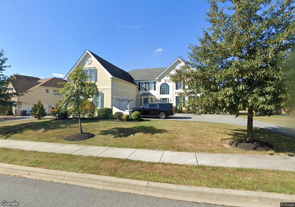
1008 Powell Ct Bear, DE 19701
Kirkwood NeighborhoodEstimated Value: $835,000 - $1,031,000
4
Beds
4
Baths
5,042
Sq Ft
$183/Sq Ft
Est. Value
About This Home
This home is located at 1008 Powell Ct, Bear, DE 19701 and is currently estimated at $922,197, approximately $182 per square foot. 1008 Powell Ct is a home located in New Castle County with nearby schools including Kathleen H. Wilbur Elementary School, Gunning Bedford Middle School, and Aquinas Academy.
Ownership History
Date
Name
Owned For
Owner Type
Purchase Details
Closed on
May 2, 2018
Sold by
Landis Karen
Bought by
Landis Mark S and Landis Karen L
Current Estimated Value
Home Financials for this Owner
Home Financials are based on the most recent Mortgage that was taken out on this home.
Original Mortgage
$100,400
Outstanding Balance
$59,558
Interest Rate
4.44%
Mortgage Type
New Conventional
Estimated Equity
$862,639
Purchase Details
Closed on
Oct 25, 2007
Sold by
Hockessin Chase Lp
Bought by
Landis Karen
Home Financials for this Owner
Home Financials are based on the most recent Mortgage that was taken out on this home.
Original Mortgage
$129,600
Interest Rate
6.41%
Mortgage Type
Unknown
Purchase Details
Closed on
Sep 6, 2006
Sold by
Dragon Group Llc
Bought by
Hockessin Chase Lp
Create a Home Valuation Report for This Property
The Home Valuation Report is an in-depth analysis detailing your home's value as well as a comparison with similar homes in the area
Home Values in the Area
Average Home Value in this Area
Purchase History
| Date | Buyer | Sale Price | Title Company |
|---|---|---|---|
| Landis Mark S | -- | None Available | |
| Landis Karen | $882,522 | None Available | |
| Hockessin Chase Lp | $1,473,600 | None Available |
Source: Public Records
Mortgage History
| Date | Status | Borrower | Loan Amount |
|---|---|---|---|
| Open | Landis Mark S | $100,400 | |
| Closed | Landis Karen | $129,600 | |
| Open | Landis Karen | $648,000 |
Source: Public Records
Tax History
| Year | Tax Paid | Tax Assessment Tax Assessment Total Assessment is a certain percentage of the fair market value that is determined by local assessors to be the total taxable value of land and additions on the property. | Land | Improvement |
|---|---|---|---|---|
| 2024 | $6,837 | $196,600 | $12,900 | $183,700 |
| 2023 | $6,249 | $196,600 | $12,900 | $183,700 |
| 2022 | $6,508 | $196,600 | $12,900 | $183,700 |
| 2021 | $6,505 | $196,600 | $12,900 | $183,700 |
| 2020 | $6,547 | $196,600 | $12,900 | $183,700 |
| 2019 | $6,753 | $196,600 | $12,900 | $183,700 |
| 2018 | $6,441 | $196,600 | $12,900 | $183,700 |
| 2017 | $6,035 | $196,600 | $12,900 | $183,700 |
| 2016 | $5,378 | $196,600 | $12,900 | $183,700 |
| 2015 | $5,379 | $196,600 | $12,900 | $183,700 |
| 2014 | $5,408 | $196,600 | $12,900 | $183,700 |
Source: Public Records
Map
Nearby Homes
- 915 Mather Dr
- 211 Audubon Dr
- 1049 Matthew Way
- 1119 Casey Dr
- 808 Quinn Ct
- 1020 Matthew Way
- 1224 Caitlin Way
- 613 Garron Point Pass
- 3934 Kirkwood Saint Georges
- 205 E Harvest Dr
- 26 Cobblestone Dr
- 503 Coach Dr
- 120 N Main St
- 0 Delaware St
- 918 Decoy Way Unit 171
- 715 Javelin Way Unit 71
- 8 Bell St Unit A068
- 1962 Old Kirkwood Rd
- 107 Nicholas Ct
- 325 Howell School Rd
Your Personal Tour Guide
Ask me questions while you tour the home.