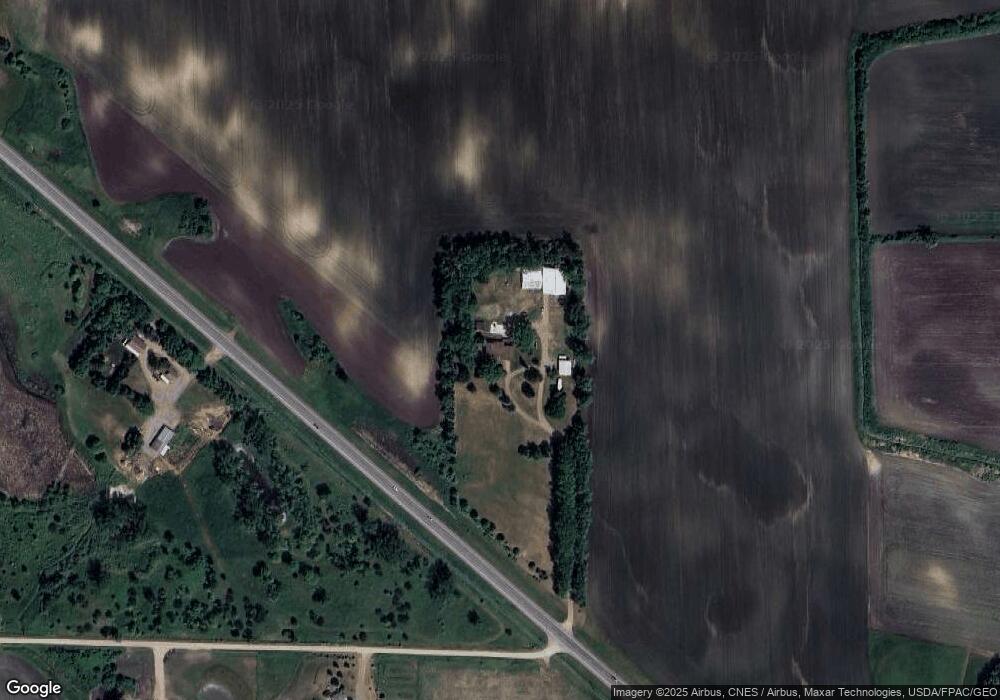
10082 Highway 22 Glencoe, MN 55336
Estimated Value: $453,000 - $698,329
4
Beds
2
Baths
4,192
Sq Ft
$137/Sq Ft
Est. Value
About This Home
This home is located at 10082 Highway 22, Glencoe, MN 55336 and is currently estimated at $576,110, approximately $137 per square foot. 10082 Highway 22 is a home located in McLeod County with nearby schools including Lincoln Elementary School, Lakeside Elementary School, and Glencoe-Silver Lake Jr. High School.
Ownership History
Date
Name
Owned For
Owner Type
Purchase Details
Closed on
Aug 26, 2016
Sold by
Fillbrandt Clark Clark
Bought by
Woytcke Michelle Michelle
Current Estimated Value
Home Financials for this Owner
Home Financials are based on the most recent Mortgage that was taken out on this home.
Original Mortgage
$258,000
Outstanding Balance
$206,080
Interest Rate
3.43%
Estimated Equity
$370,030
Create a Home Valuation Report for This Property
The Home Valuation Report is an in-depth analysis detailing your home's value as well as a comparison with similar homes in the area
Home Values in the Area
Average Home Value in this Area
Purchase History
| Date | Buyer | Sale Price | Title Company |
|---|---|---|---|
| Woytcke Michelle Michelle | $322,500 | -- |
Source: Public Records
Mortgage History
| Date | Status | Borrower | Loan Amount |
|---|---|---|---|
| Open | Woytcke Michelle Michelle | $258,000 |
Source: Public Records
Tax History Compared to Growth
Tax History
| Year | Tax Paid | Tax Assessment Tax Assessment Total Assessment is a certain percentage of the fair market value that is determined by local assessors to be the total taxable value of land and additions on the property. | Land | Improvement |
|---|---|---|---|---|
| 2024 | $5,464 | $625,600 | $157,100 | $468,500 |
| 2023 | $5,084 | $574,400 | $142,700 | $431,700 |
| 2022 | $4,762 | $569,400 | $142,700 | $426,700 |
| 2021 | $4,664 | $452,600 | $119,400 | $333,200 |
| 2020 | $4,110 | $446,900 | $119,400 | $327,500 |
| 2019 | $3,646 | $395,400 | $102,400 | $293,000 |
| 2018 | $3,694 | $0 | $0 | $0 |
| 2017 | $4,414 | $0 | $0 | $0 |
| 2016 | $4,488 | $0 | $0 | $0 |
| 2015 | $3,812 | $0 | $0 | $0 |
| 2014 | -- | $0 | $0 | $0 |
Source: Public Records
Map
Nearby Homes
- 503 17th St W
- 316 20th St W
- 1407 Desoto Ave N
- 1724 Ford Ave N
- 1207 Desoto Ave N
- 719 14th St E
- 2600 14th St E
- 205 Wacker Dr
- 1227 11th St E
- 1421 14th St E
- 105 Hennepin Ave N
- 400 Edgewood Dr
- 1801 Pryor Ave N
- 1521 10th St E
- 804 Mitchell Ct
- 2106 9th St E
- 1412 Elsie Dr N
- 1515 Ranger Dr
- 1512 Ranger Dr N
- 1527 Ranger Dr N
- 10082 Highway 22
- 10082 Highway 22
- 10082 Highway 22
- 10251 Highway 22
- 10101 115th St
- 10217 115th St
- 10187 120th St
- xxxxxx 115th St
- xx State Highway 22
- 10333 120th St
- 10384 115th St
- 10384 115th St
- 9717 120th St
- 9726 Minnesota 22
- 10413 Highway 22
- Various Lo Creekside
- Various Lots Creekside
- 10429 120th St
- 9726 Highway 22
- 9726 Highway 22