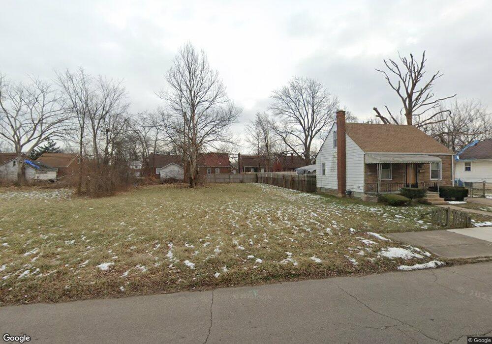
10086 Nottingham Rd Detroit, MI 48224
Outer Drive-Hayes NeighborhoodEstimated Value: $58,000 - $75,000
--
Bed
1
Bath
803
Sq Ft
$83/Sq Ft
Est. Value
About This Home
This home is located at 10086 Nottingham Rd, Detroit, MI 48224 and is currently estimated at $66,500, approximately $82 per square foot. 10086 Nottingham Rd is a home located in Wayne County with nearby schools including Wayne Elementary School, Edward 'Duke' Ellington Conservatory of Music and Art, and Charles L. Spain Elementary-Middle School.
Ownership History
Date
Name
Owned For
Owner Type
Purchase Details
Closed on
Oct 30, 2014
Sold by
The City Of Detroit
Bought by
The Detroit Land Bank Authority
Current Estimated Value
Purchase Details
Closed on
Jan 19, 2010
Sold by
Wojtowicz Raymond J
Bought by
Planning & Development Dept City Of Detr
Purchase Details
Closed on
Apr 26, 2005
Sold by
Bauer Kristen A
Bought by
Womack Kyle
Home Financials for this Owner
Home Financials are based on the most recent Mortgage that was taken out on this home.
Original Mortgage
$42,900
Interest Rate
6.13%
Mortgage Type
Fannie Mae Freddie Mac
Create a Home Valuation Report for This Property
The Home Valuation Report is an in-depth analysis detailing your home's value as well as a comparison with similar homes in the area
Home Values in the Area
Average Home Value in this Area
Purchase History
| Date | Buyer | Sale Price | Title Company |
|---|---|---|---|
| The Detroit Land Bank Authority | -- | None Available | |
| Planning & Development Dept City Of Detr | -- | None Available | |
| Womack Kyle | $20,000 | Regency Title |
Source: Public Records
Mortgage History
| Date | Status | Borrower | Loan Amount |
|---|---|---|---|
| Previous Owner | Womack Kyle | $42,900 |
Source: Public Records
Tax History Compared to Growth
Tax History
| Year | Tax Paid | Tax Assessment Tax Assessment Total Assessment is a certain percentage of the fair market value that is determined by local assessors to be the total taxable value of land and additions on the property. | Land | Improvement |
|---|---|---|---|---|
| 2025 | -- | $0 | $0 | $0 |
| 2024 | -- | $0 | $0 | $0 |
| 2023 | $0 | $0 | $0 | $0 |
| 2022 | -- | $0 | $0 | $0 |
| 2021 | $0 | $0 | $0 | $0 |
| 2020 | $1,349 | $0 | $0 | $0 |
| 2019 | $1,349 | $0 | $0 | $0 |
| 2018 | $0 | $0 | $0 | $0 |
| 2017 | -- | $0 | $0 | $0 |
| 2016 | -- | $0 | $0 | $0 |
| 2015 | -- | $0 | $0 | $0 |
| 2013 | $1,349 | $0 | $0 | $0 |
| 2010 | -- | $16,603 | $797 | $15,806 |
Source: Public Records
Map
Nearby Homes
- 9899 Balfour Rd
- 9910 Somerset Ave
- 10326 Beaconsfield St
- 10345 Greensboro St
- 10029 Balfour Rd
- 10366 Roxbury St
- 10336 Roxbury St
- 10172 Somerset Ave
- 10415 Roxbury St
- 9803 Nottingham Rd
- 10303 Roxbury St
- 9316 Mckinney St
- 9300 Mckinney St
- 10468 Lakepointe St
- 10521 Roxbury St
- 10420 Lakepointe St
- 9265 Bedford St
- 10346 Lakepointe St
- 9205 Mckinney St
- 9833 Berkshire St
- 10080 Nottingham Rd
- 10096 Nottingham Rd
- 10100 Nottingham Rd
- 10076 Nottingham Rd
- 9989 Somerset Ave
- 9997 Somerset Ave
- 10108 Nottingham Rd
- 9981 Somerset Ave
- 10089 Nottingham Rd
- 10060 Nottingham Rd
- 10114 Nottingham Rd
- 9967 Somerset Ave
- 10107 Nottingham Rd
- 10061 Nottingham Rd
- 10122 Nottingham Rd
- 10005 Somerset Ave
- 9961 Somerset Ave
- 9975 Somerset Ave
- 10081 Nottingham Rd
- 10115 Nottingham Rd