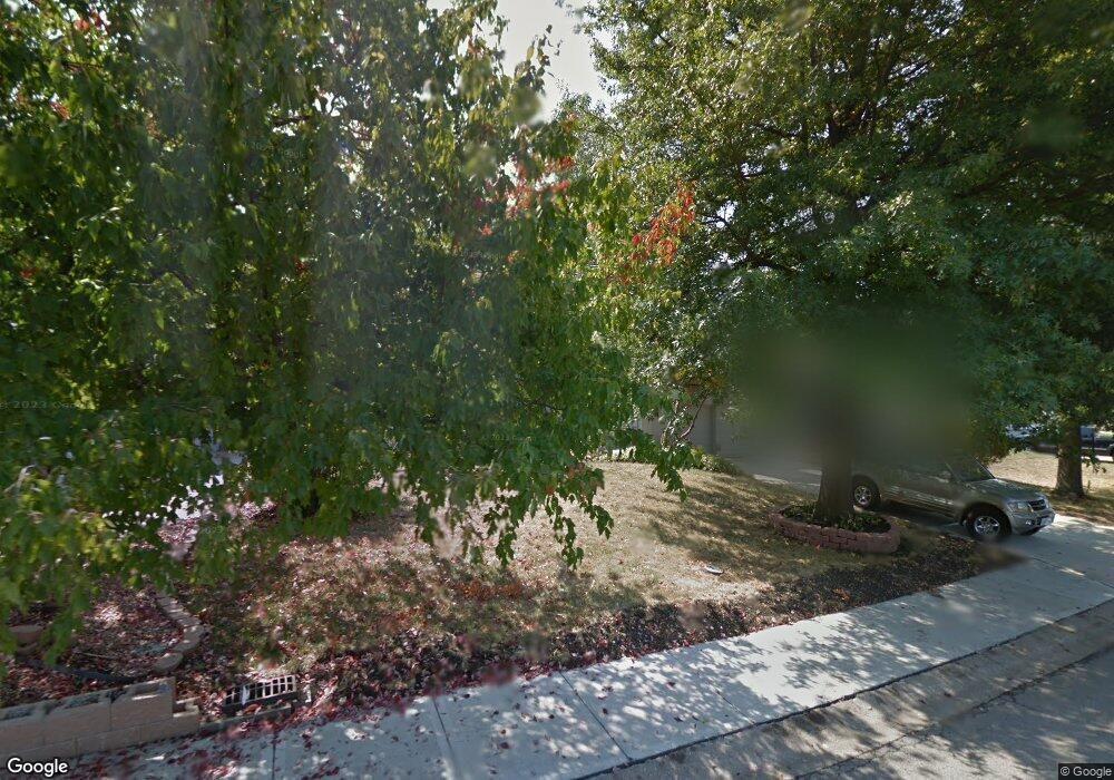
1009 Brookside Dr Raymore, MO 64083
Estimated Value: $332,000 - $408,000
3
Beds
2
Baths
2,601
Sq Ft
$141/Sq Ft
Est. Value
About This Home
This home is located at 1009 Brookside Dr, Raymore, MO 64083 and is currently estimated at $366,722, approximately $140 per square foot. 1009 Brookside Dr is a home located in Cass County with nearby schools including Eagle Glen Intermediate School, Raymore-Peculiar East Middle School, and Raymore-Peculiar Senior High School.
Ownership History
Date
Name
Owned For
Owner Type
Purchase Details
Closed on
Aug 19, 2005
Sold by
Buschhorn Stephen J
Bought by
Randolph Larry M
Current Estimated Value
Home Financials for this Owner
Home Financials are based on the most recent Mortgage that was taken out on this home.
Original Mortgage
$159,900
Outstanding Balance
$82,670
Interest Rate
5.61%
Mortgage Type
New Conventional
Estimated Equity
$284,052
Create a Home Valuation Report for This Property
The Home Valuation Report is an in-depth analysis detailing your home's value as well as a comparison with similar homes in the area
Home Values in the Area
Average Home Value in this Area
Purchase History
| Date | Buyer | Sale Price | Title Company |
|---|---|---|---|
| Randolph Larry M | -- | -- |
Source: Public Records
Mortgage History
| Date | Status | Borrower | Loan Amount |
|---|---|---|---|
| Open | Randolph Larry M | $159,900 |
Source: Public Records
Tax History
| Year | Tax Paid | Tax Assessment Tax Assessment Total Assessment is a certain percentage of the fair market value that is determined by local assessors to be the total taxable value of land and additions on the property. | Land | Improvement |
|---|---|---|---|---|
| 2025 | $3,440 | $47,670 | $3,130 | $44,540 |
| 2024 | $3,440 | $42,270 | $2,850 | $39,420 |
| 2023 | $3,435 | $42,270 | $2,850 | $39,420 |
| 2022 | $3,041 | $37,170 | $2,850 | $34,320 |
| 2021 | $3,041 | $37,170 | $2,850 | $34,320 |
| 2020 | $2,975 | $35,710 | $2,850 | $32,860 |
| 2019 | $2,872 | $35,710 | $2,850 | $32,860 |
| 2018 | $2,649 | $31,810 | $2,280 | $29,530 |
| 2017 | $2,290 | $31,810 | $2,280 | $29,530 |
| 2016 | $2,290 | $28,540 | $2,280 | $26,260 |
| 2015 | $2,291 | $28,540 | $2,280 | $26,260 |
| 2014 | $2,292 | $28,540 | $2,280 | $26,260 |
| 2013 | -- | $28,540 | $2,280 | $26,260 |
Source: Public Records
Map
Nearby Homes
- 1105 Brookside Place
- 105 N Landcaster Dr
- 205 Johnston Pkwy
- 113 N Eastglen Dr
- 208 N Pacific Ct
- 205 N Pacific Ct
- 1206 Johnston Dr
- 201 Johnston Dr
- 701 Hampstead Dr
- 108 Rainbow Cir
- 110 S Westglen Dr
- 615 N Conway St
- 1601 Stasi Ave
- 411 Eagle Glen Dr
- 1206 W Lucy Webb Rd
- 1412 W Stone Blvd
- 600 W Buena Vista Dr
- 1108 Yokley Dr
- 400 Appaloosa Dr
- 215 Scott Dr
- 1011 Brookside Dr
- 1007 Brookside Dr
- 1004 Silver Lake Dr
- 1013 Brookside Dr
- 1005 Brookside Dr
- 1008 Brookside Dr
- 1002 Silver Lake Dr
- 1010 Brookside Dr
- 1008 Silver Lake Dr
- 1015 Brookside Dr
- 1003 Brookside Dr
- 1006 Brookside Dr
- 1000 Silver Lake Dr
- 1101 Brookside Place
- 1101 W Pleasant Dr
- 1004 Brookside Dr
- 1017 Brookside Dr
- 1001 Brookside Dr
- 1102 Brookside Place
- 1010 Silver Lake Dr
Your Personal Tour Guide
Ask me questions while you tour the home.